Territory of Entanglement
Ph.D. thesis, 2021
Aarhus School of Architecture
Territory of Entanglement is the title of Rasmus's Ph.D. dissertation from 2021, carried out at the Aarhus School of Architecture's research department featuring studies of coastal landscapes, urbanism, and aesthetics in the Anthropocene.
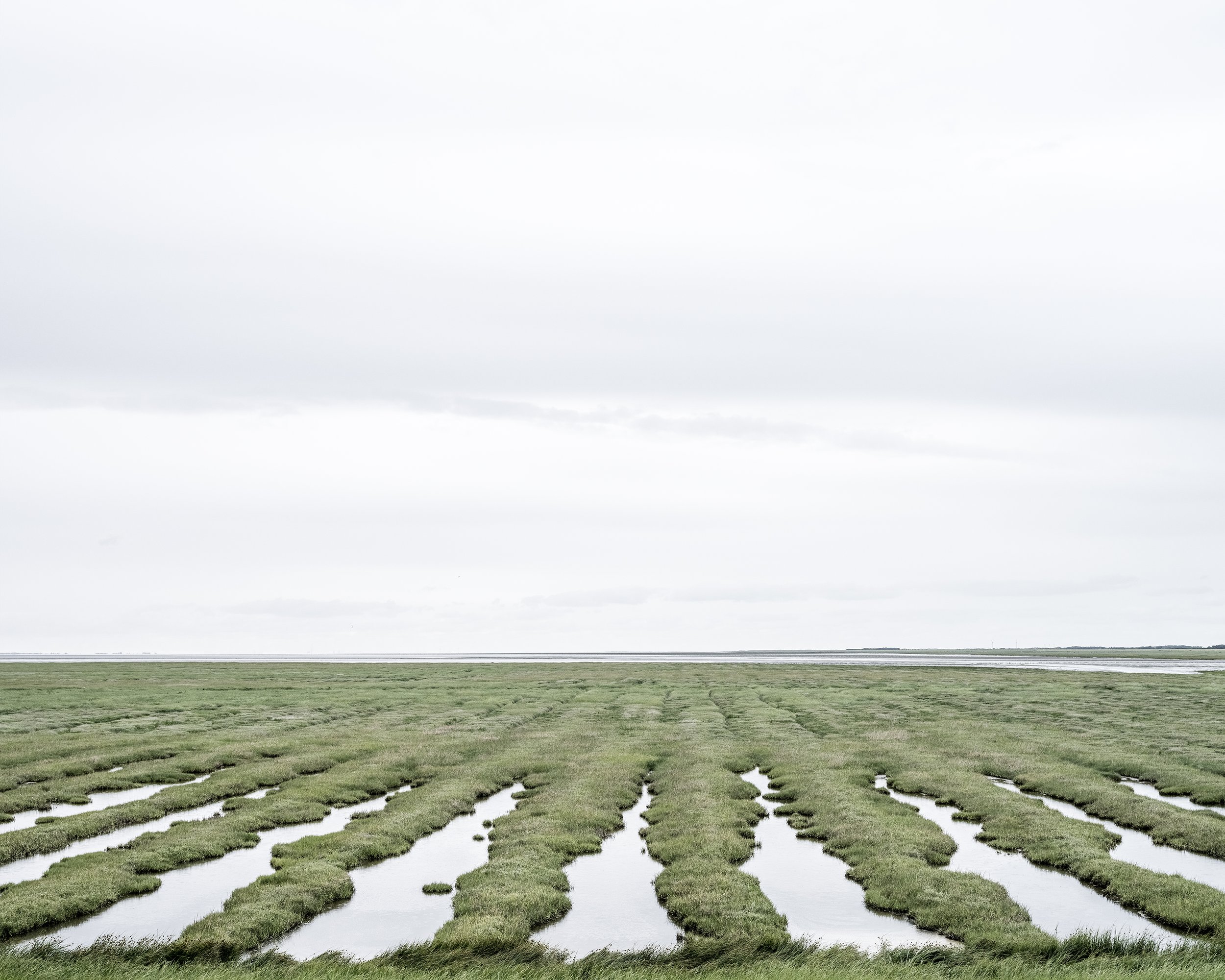
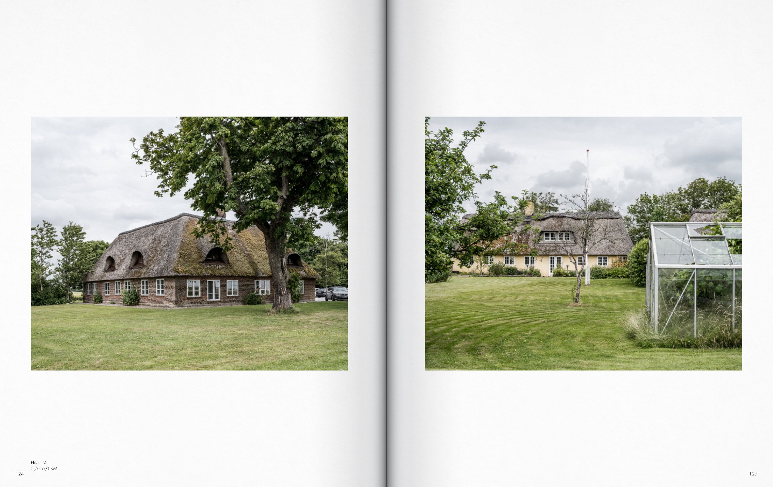
The thesis explores how coastal landscapes in the Anthropocene are not merely created through dynamic natural processes. Rather, they can be seen as territories—a collection of hybrid assemblages heavily programmed and designed by societal processes through coastal protection systems, infrastructure, production areas, and cityscapes.
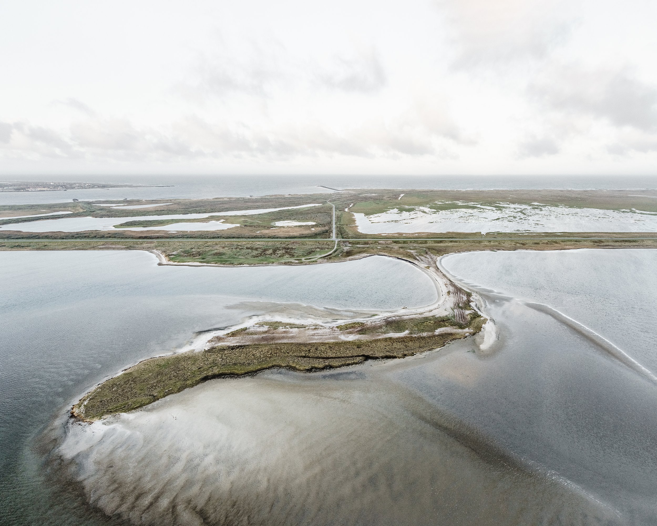
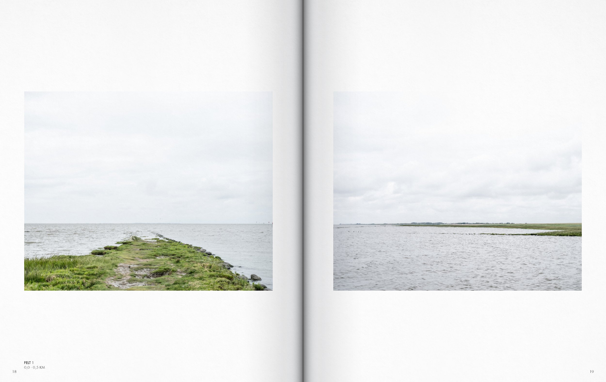
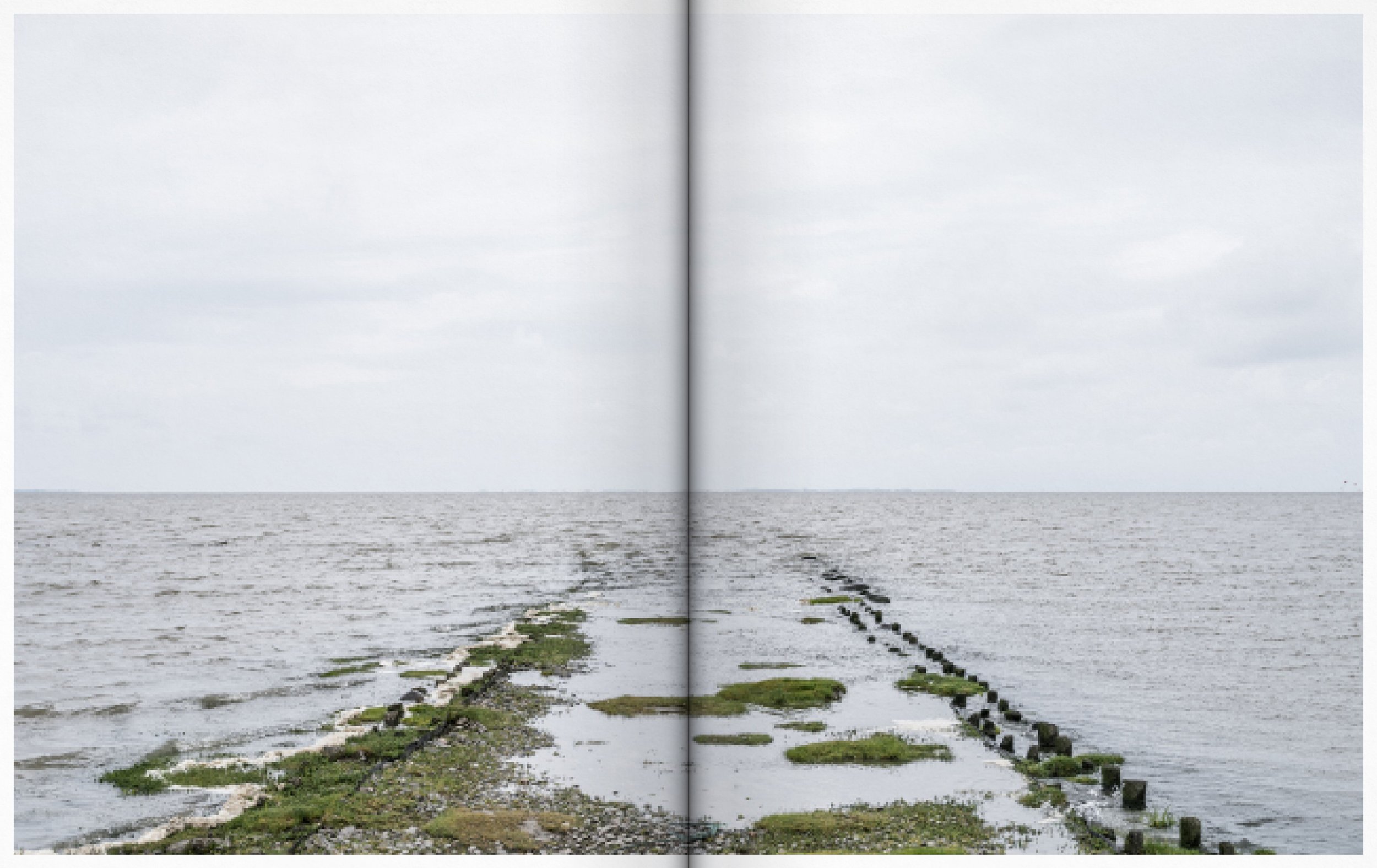
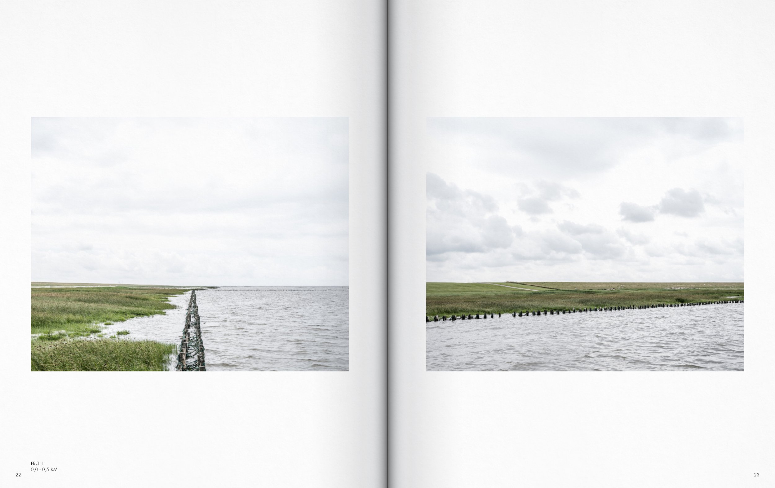
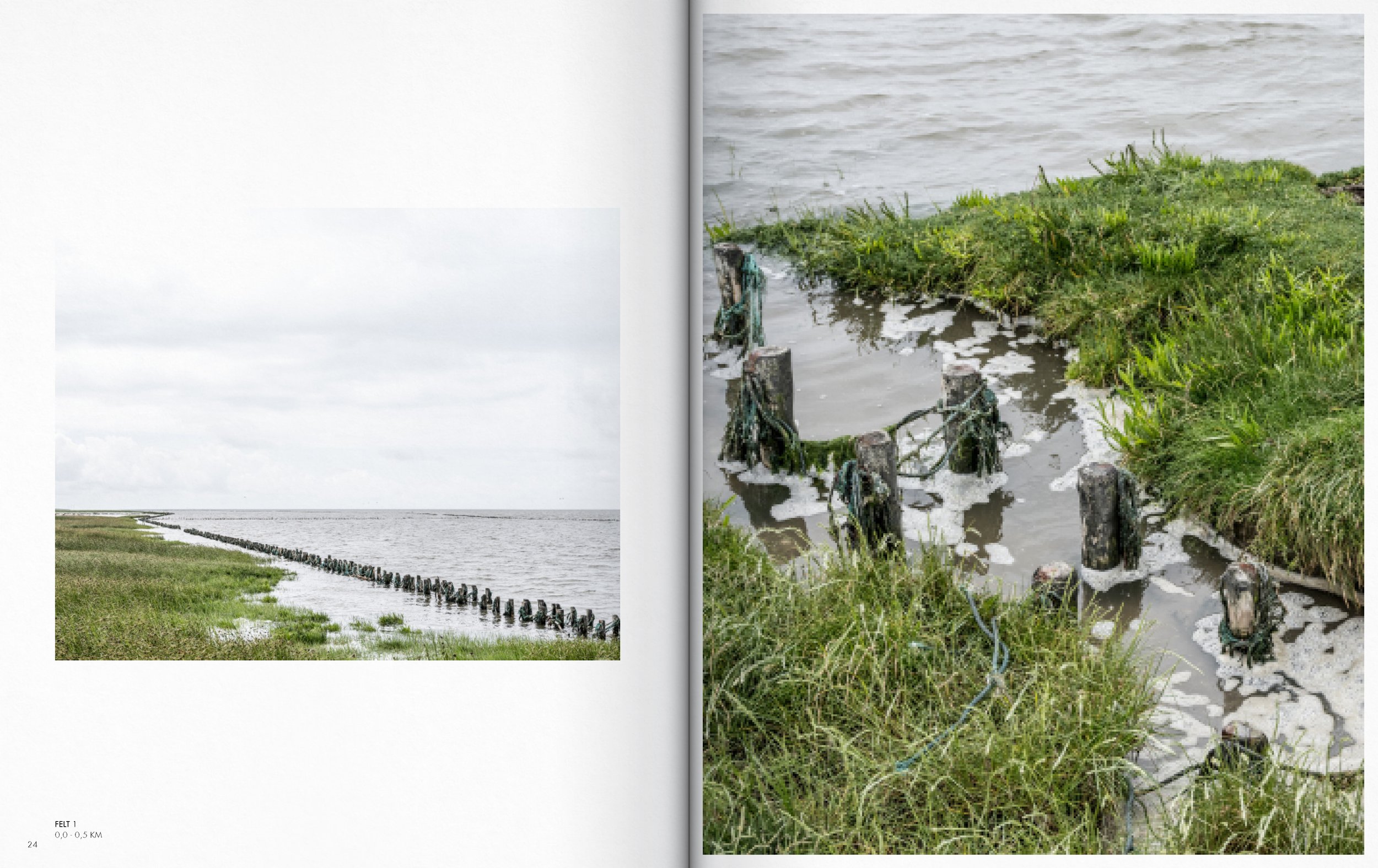
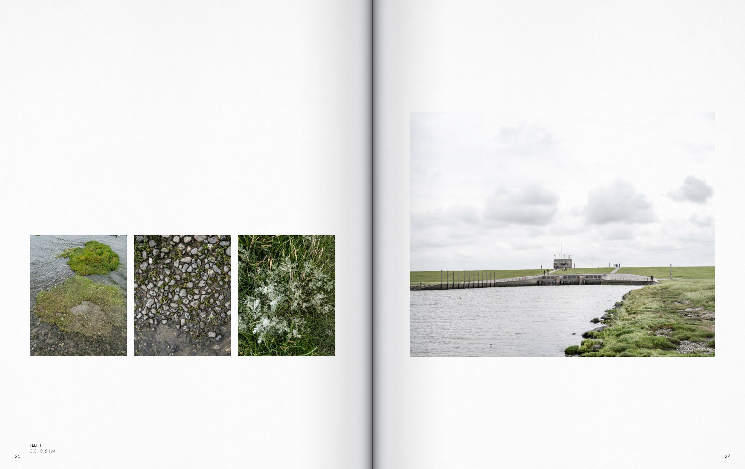
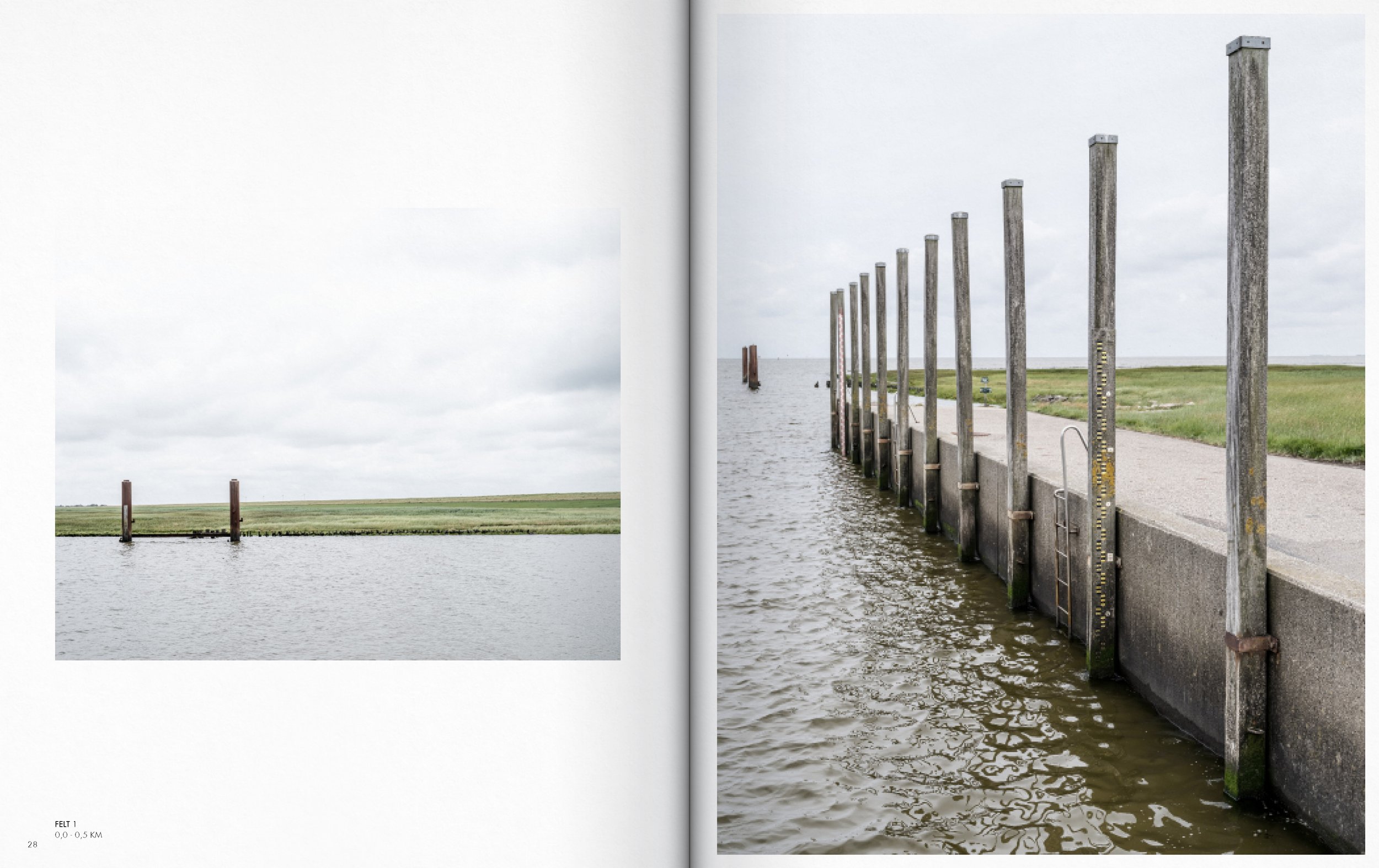
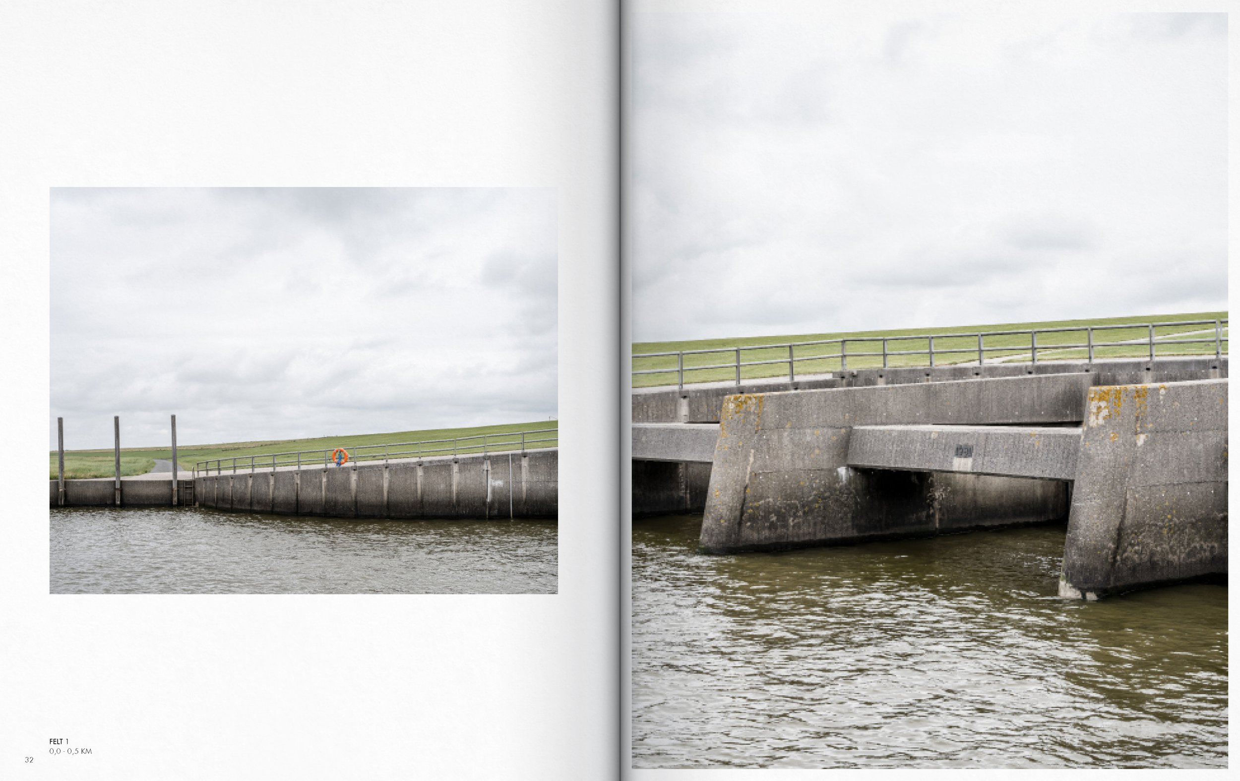
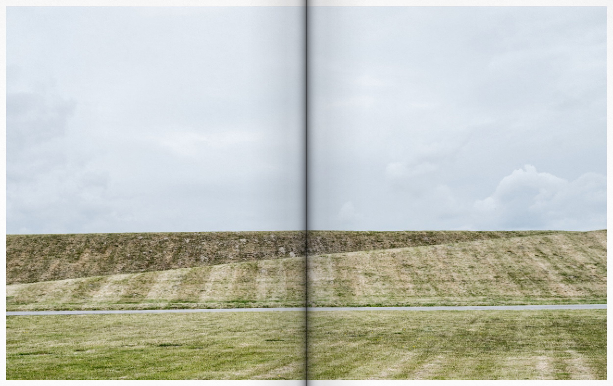
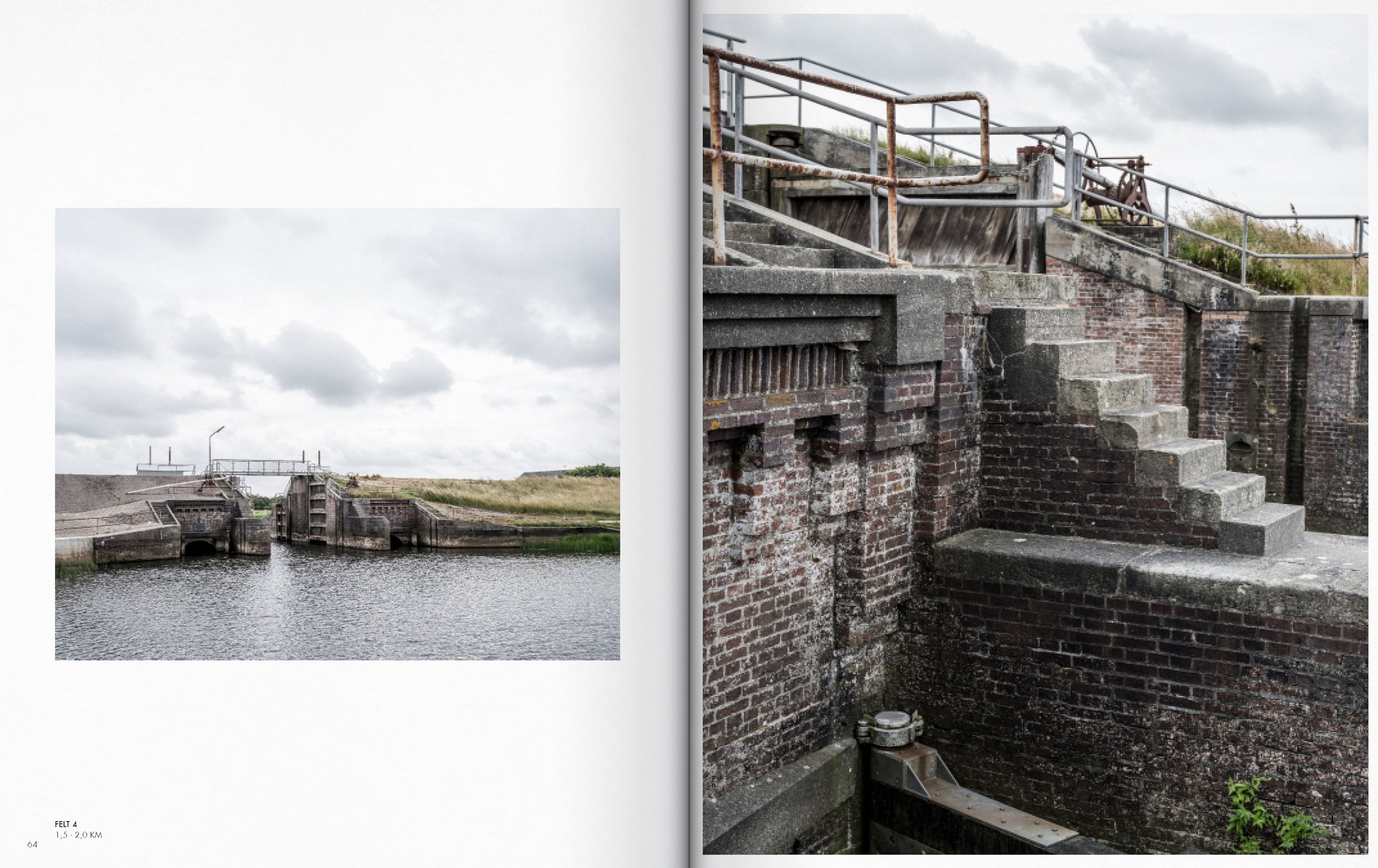
Edgezone of the Rømø dam.
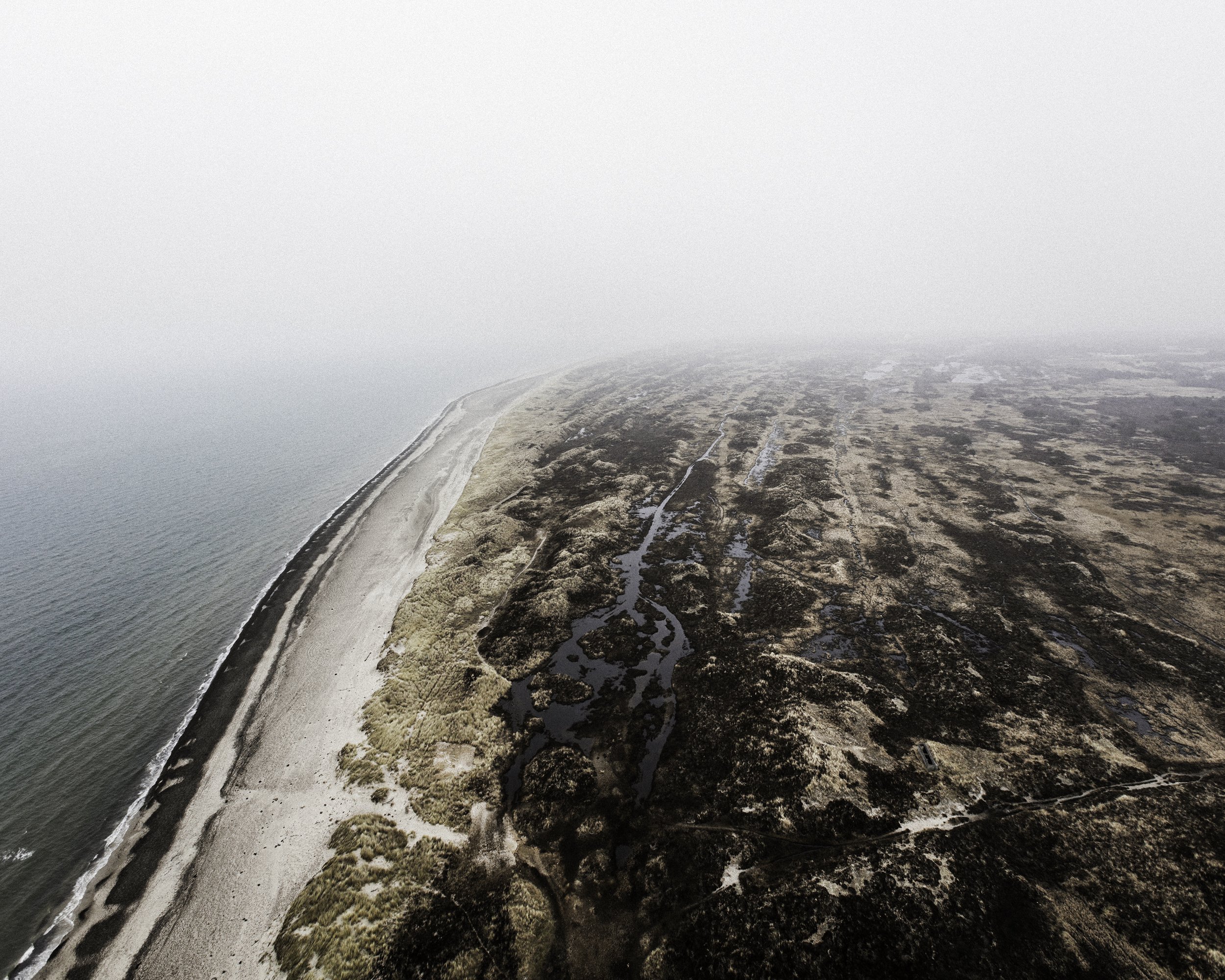
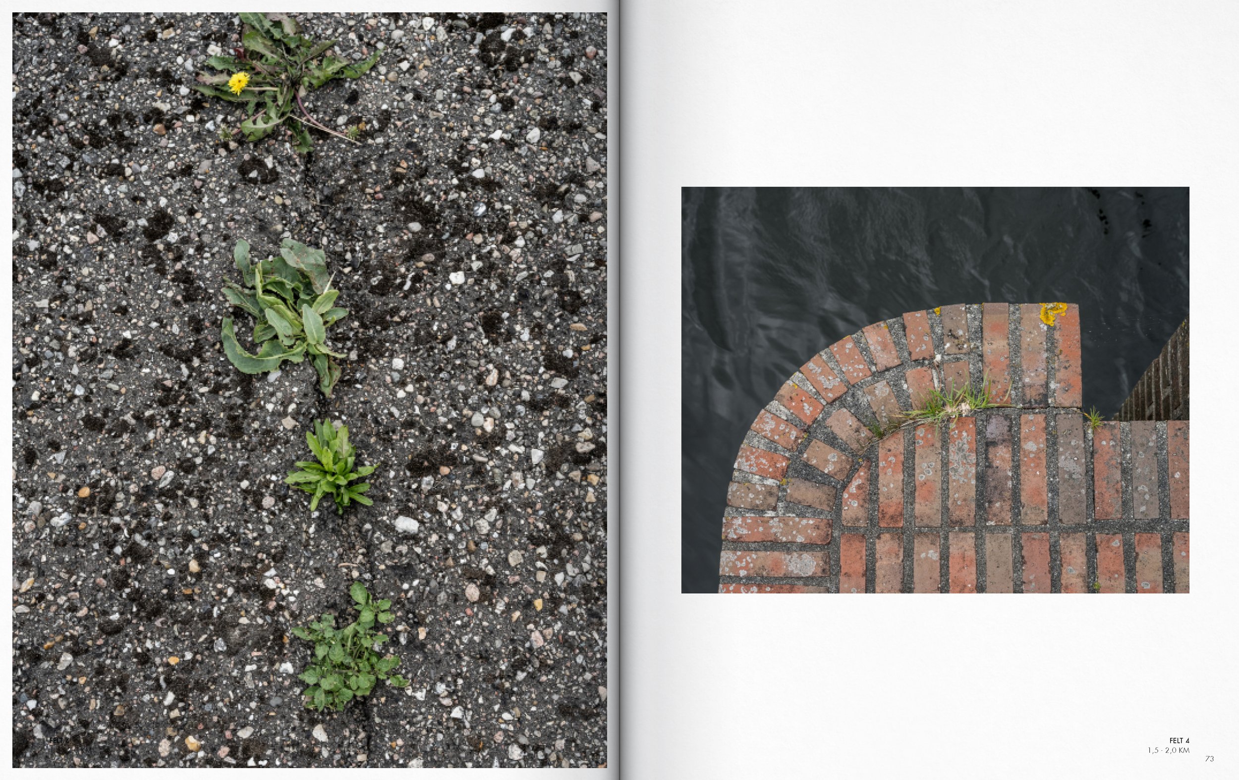
The often heralded ‘natural’ and ‘beautiful’ coastal territory is not an untouched landscape that arises exclusively through nature's geophysical processes. It is shaped both by geophysical processes and by human programming, function, care, safety measures, logistics, transport corridors, production areas, and more—an entanglement of processes that determine the physical character of the coastal landscapes. This means the territory can neither be described purely as 'natural' nor as something that is exclusively produced by cultural processes.
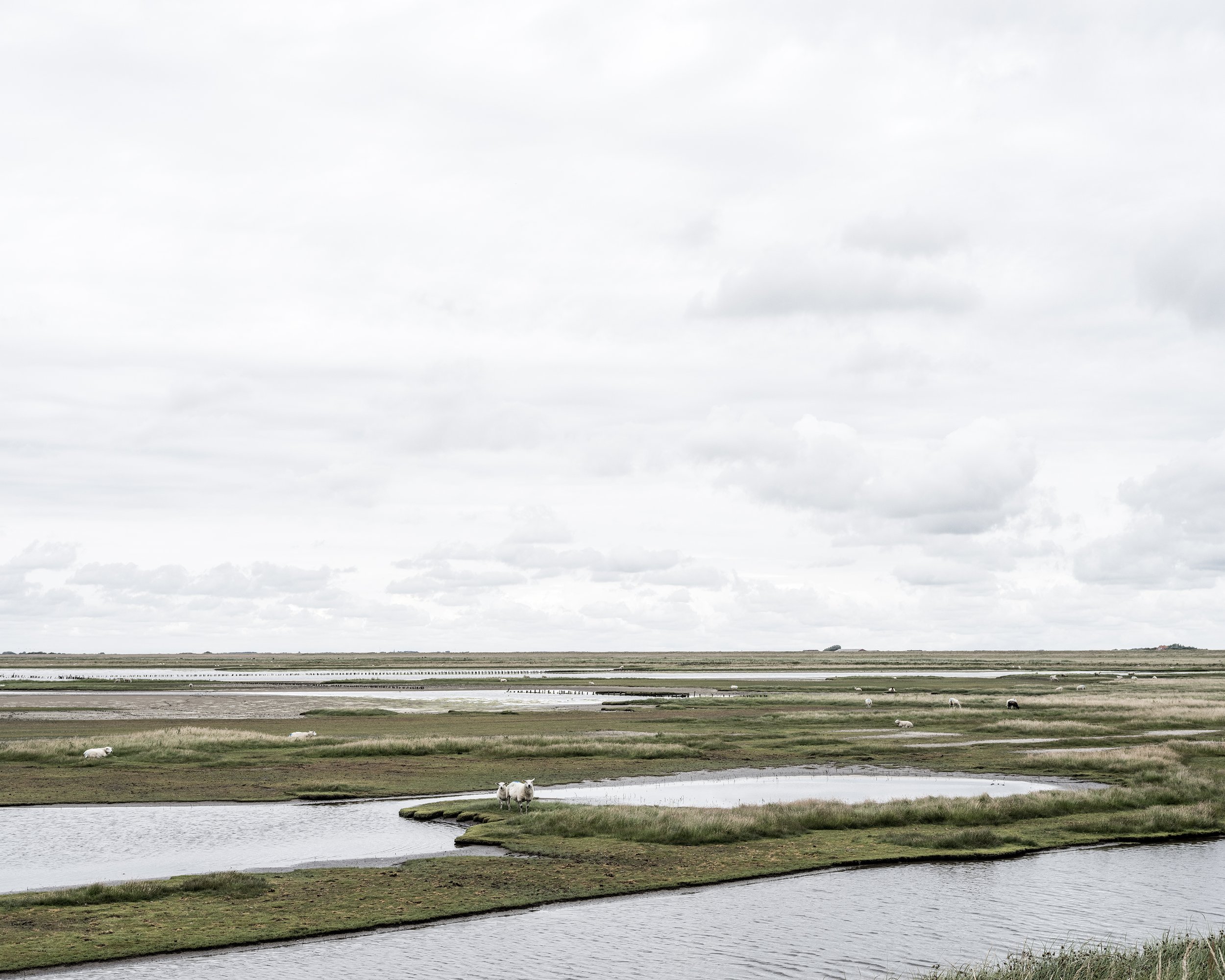
Agger Tange in Thy National Park
Rather the territory can be seen as something that lies beyond or in-between the traditional meanings of nature. A post-nature where that which seems ‘natural’ is always conditioned by societal and human interaction.
The purpose of the thesis is to provide a snapshot of the current state of the coastal territory and to examine how previous planning has shaped the spatial conditions, atmospheres, and physical properties that define the experience of the coastal territory today.
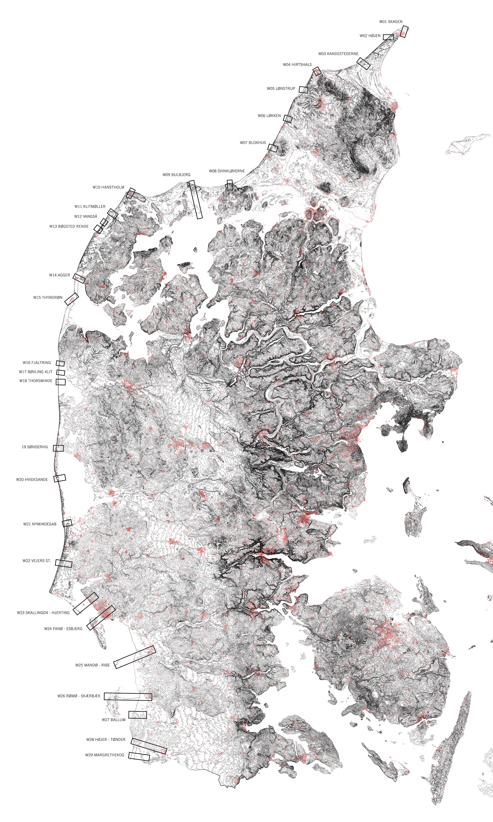
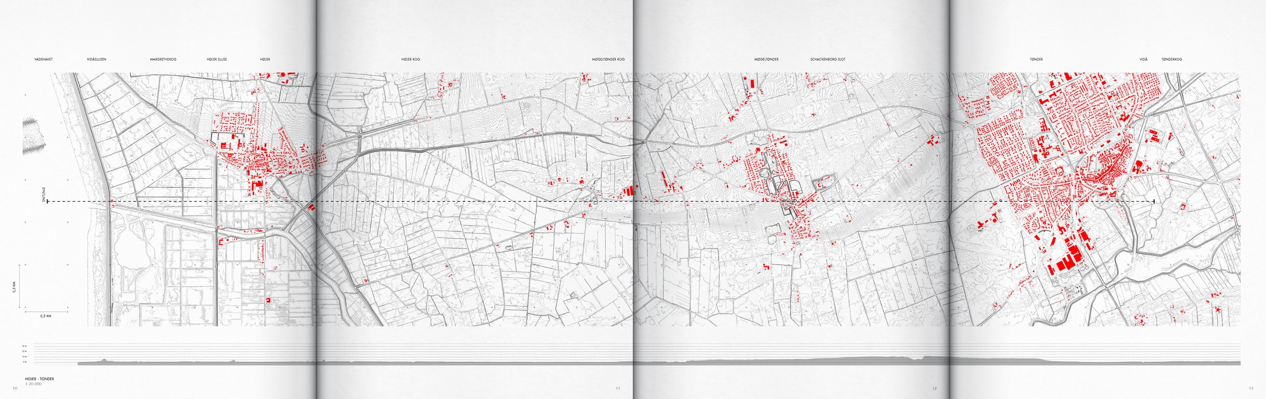
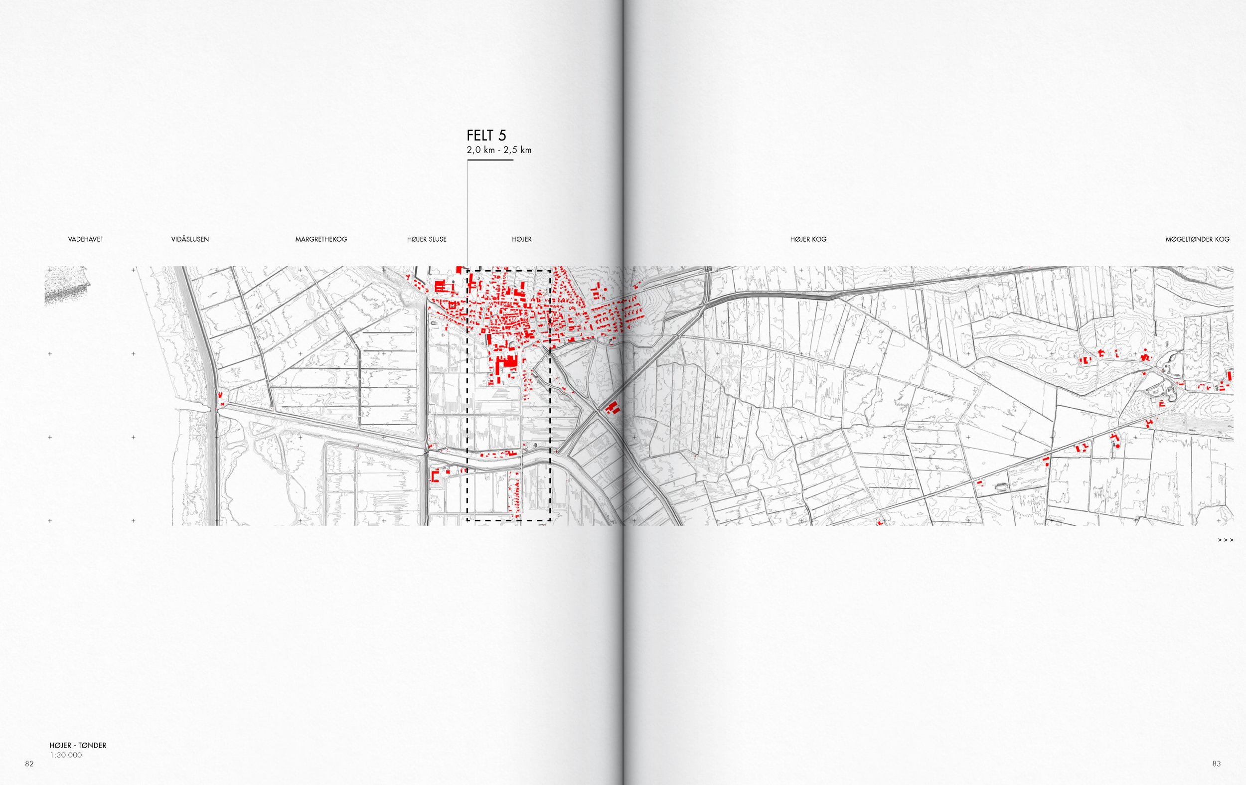
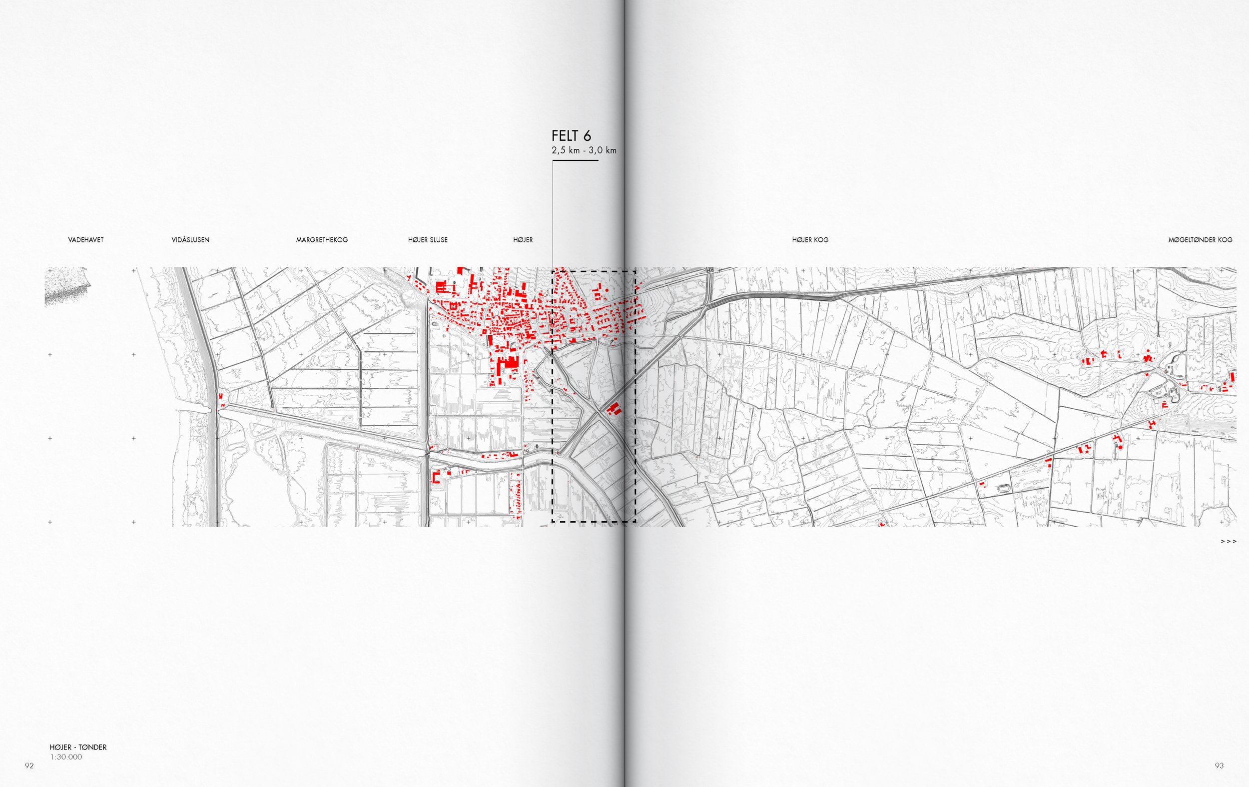
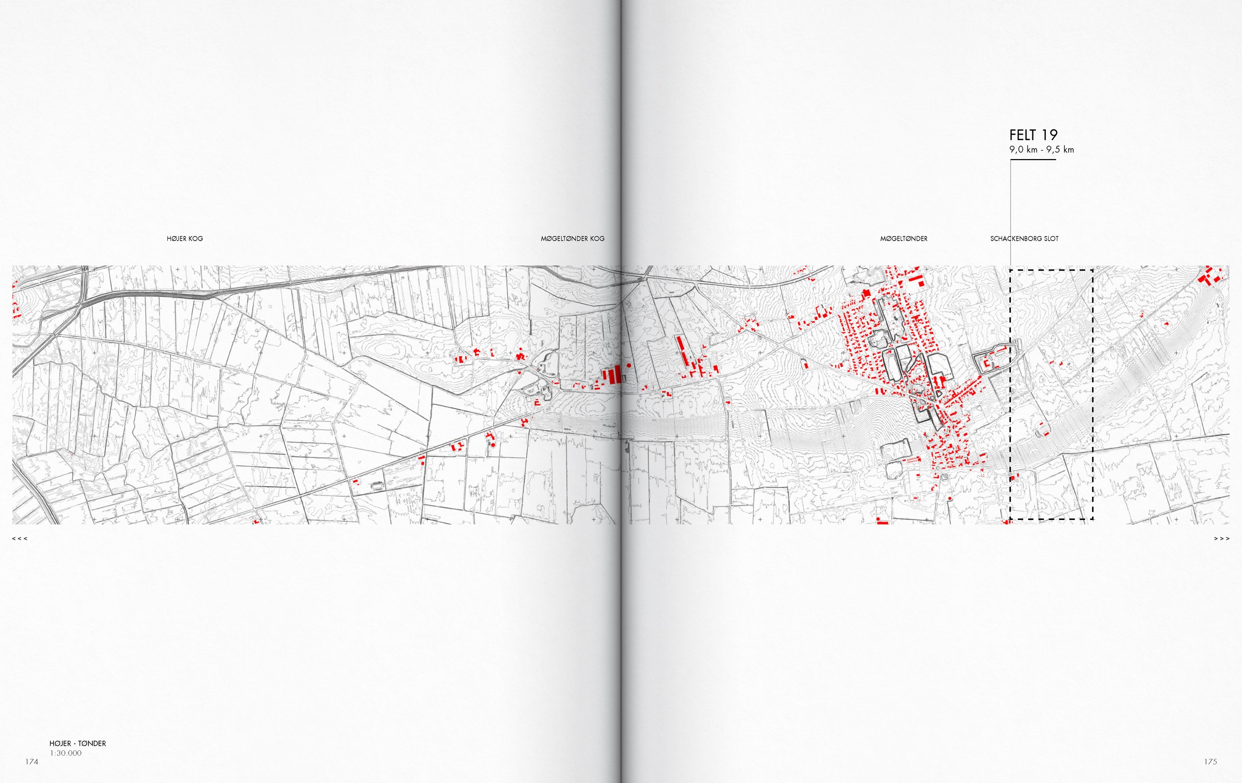
Map of cross sections traversing the coastal territory
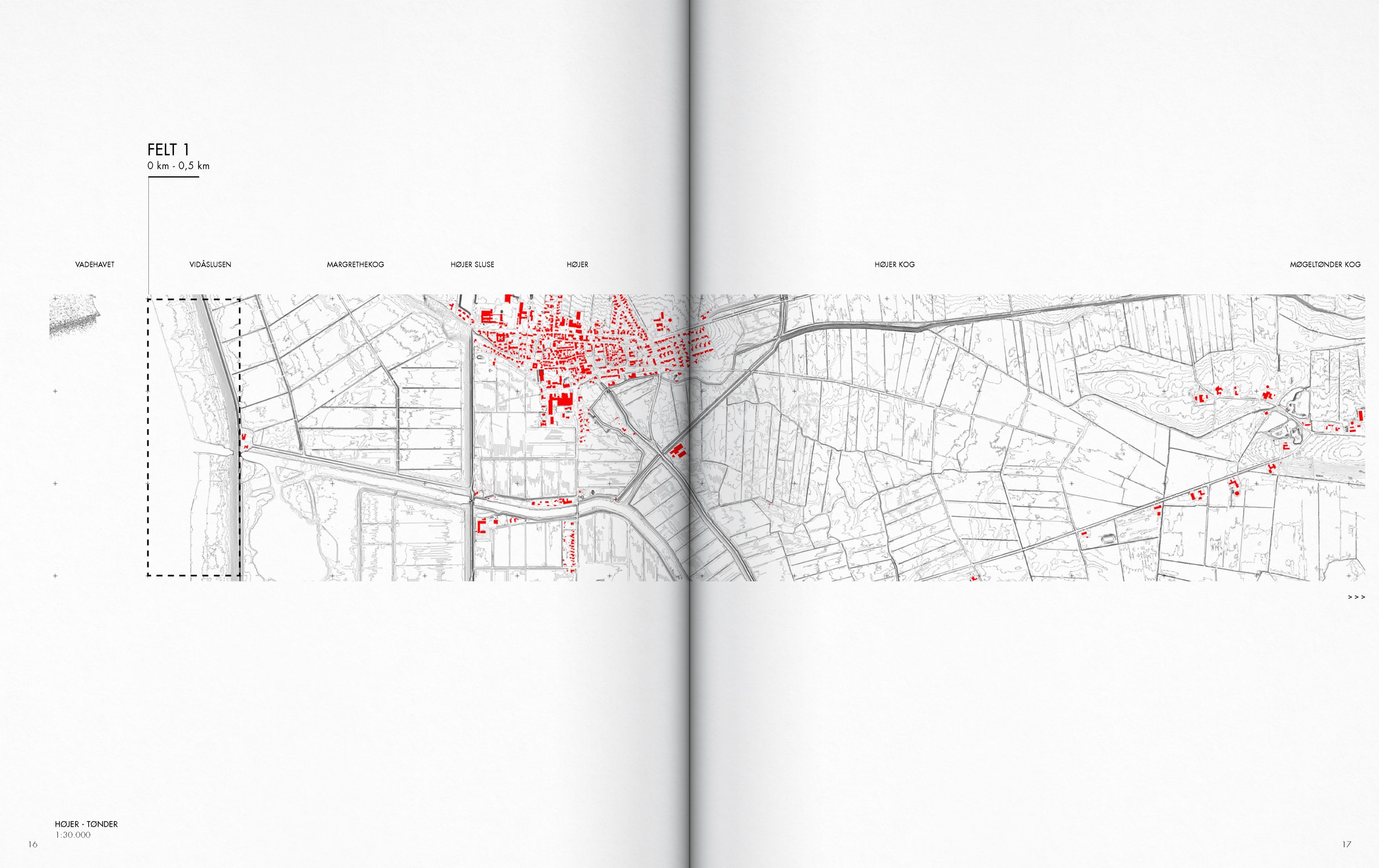
Part of the contribution of the project lies in incorporating this hinterland into a photographic mapping that insists on the inclusion of the hinterland into the discussion around the interaction with urbanized coastal territories. This is done by considering both the coastal foreland and hinterland as both being part of a territory of entanglement.
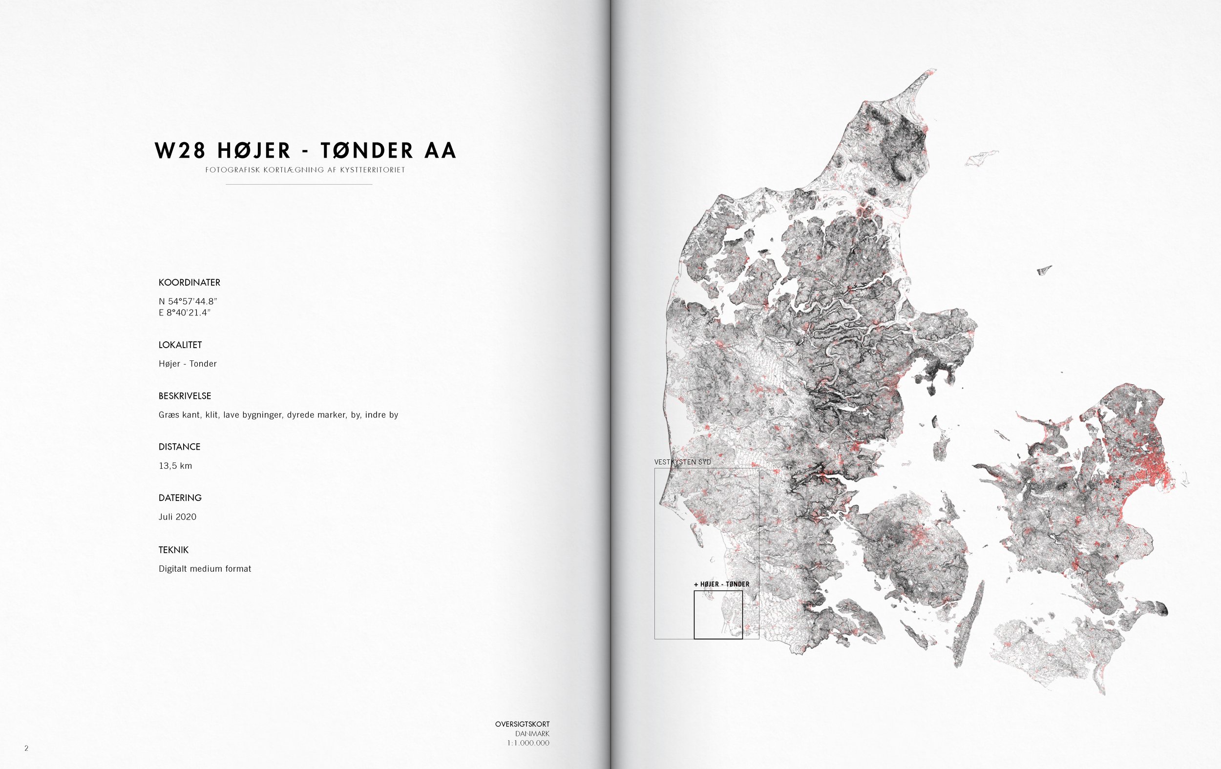
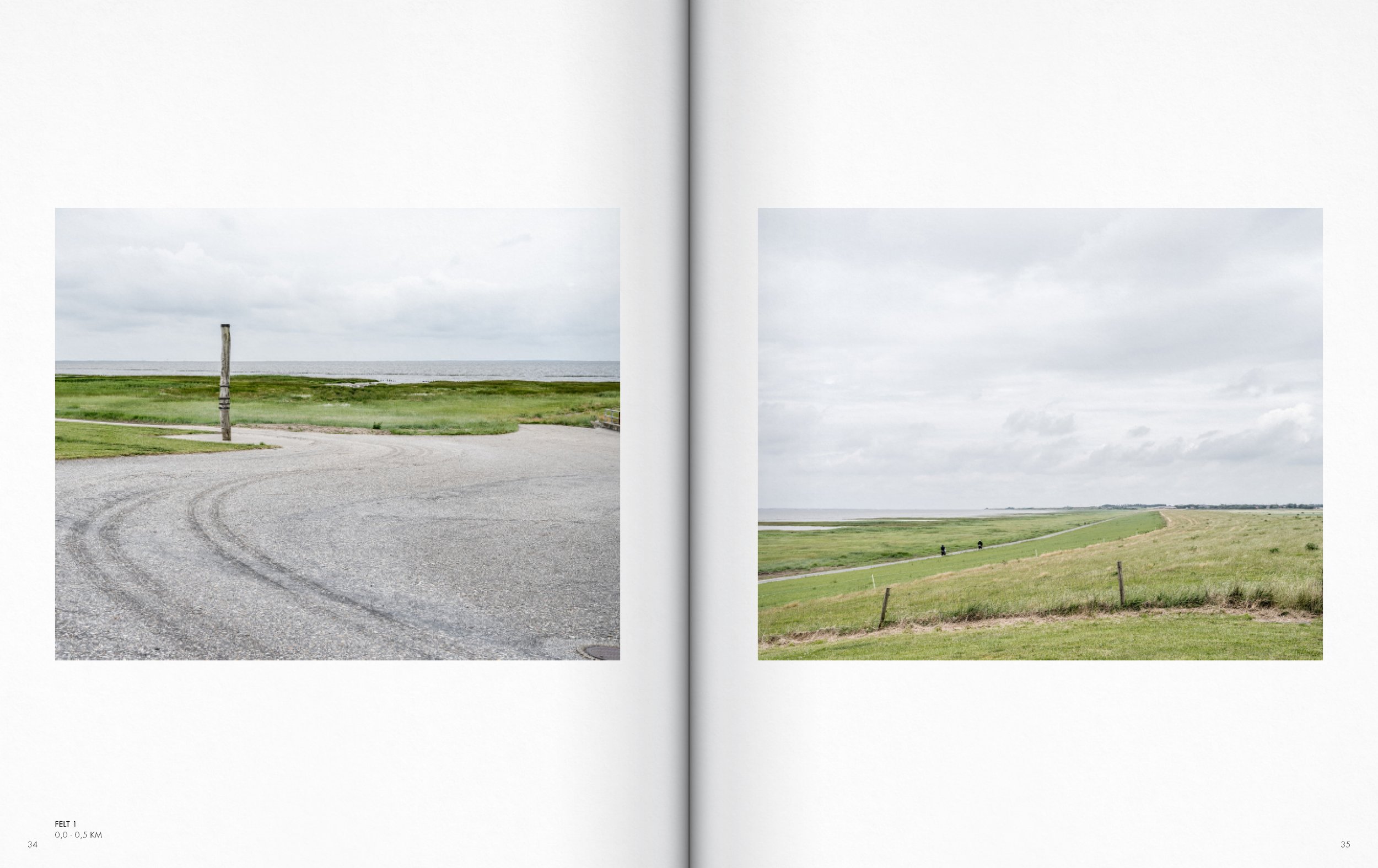
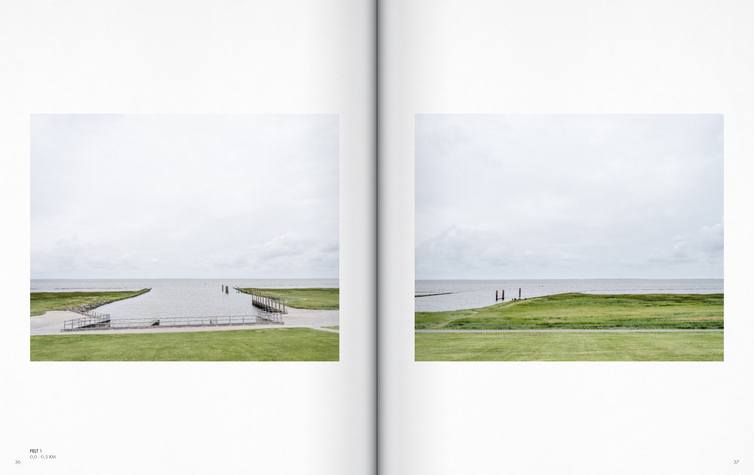
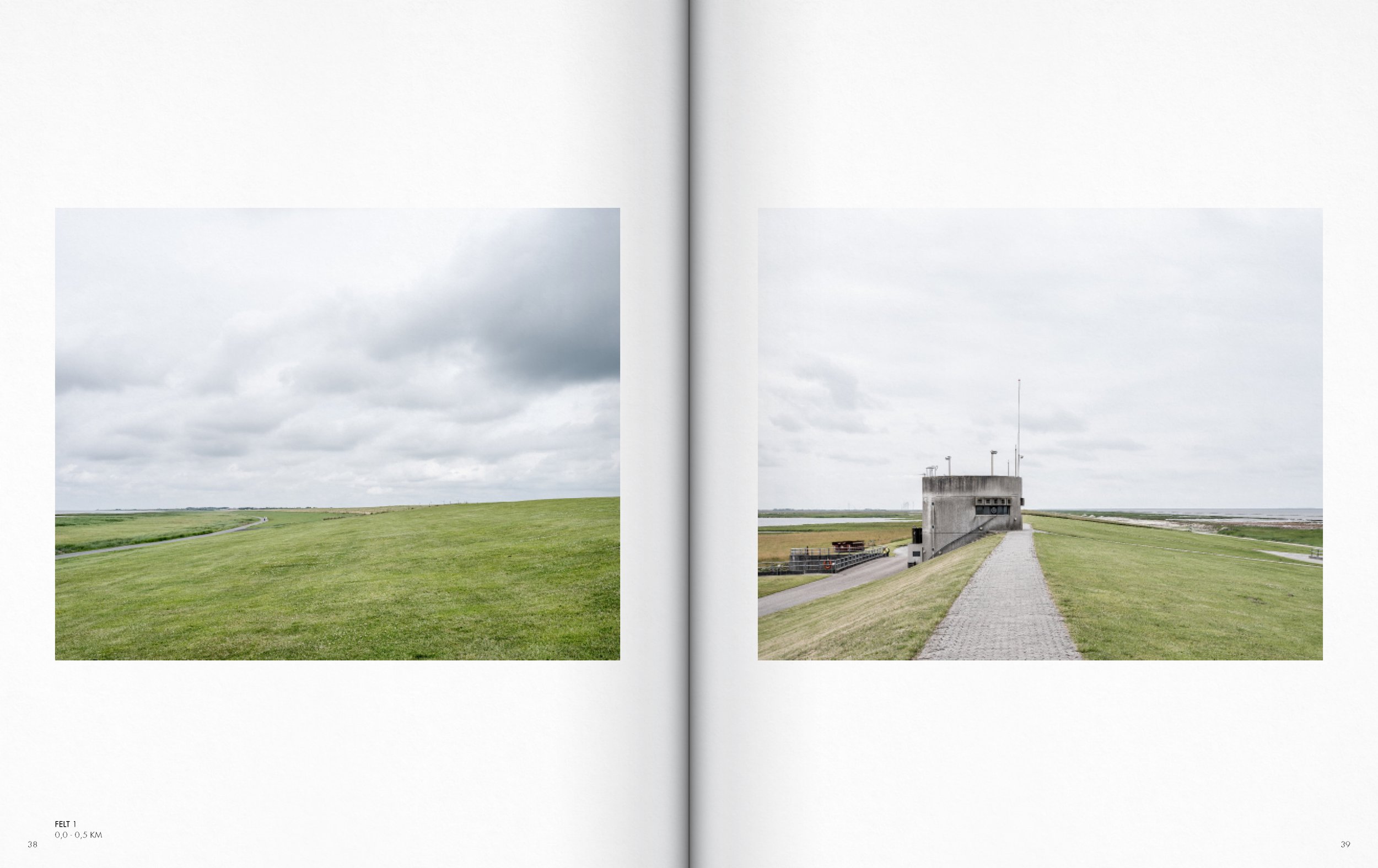
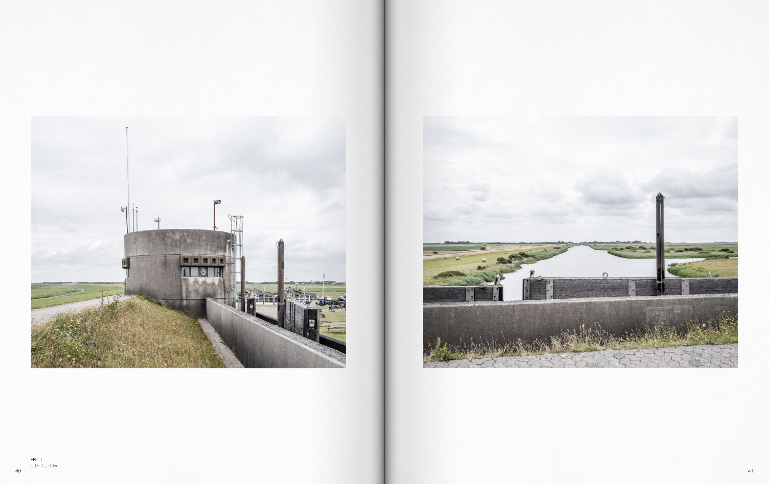
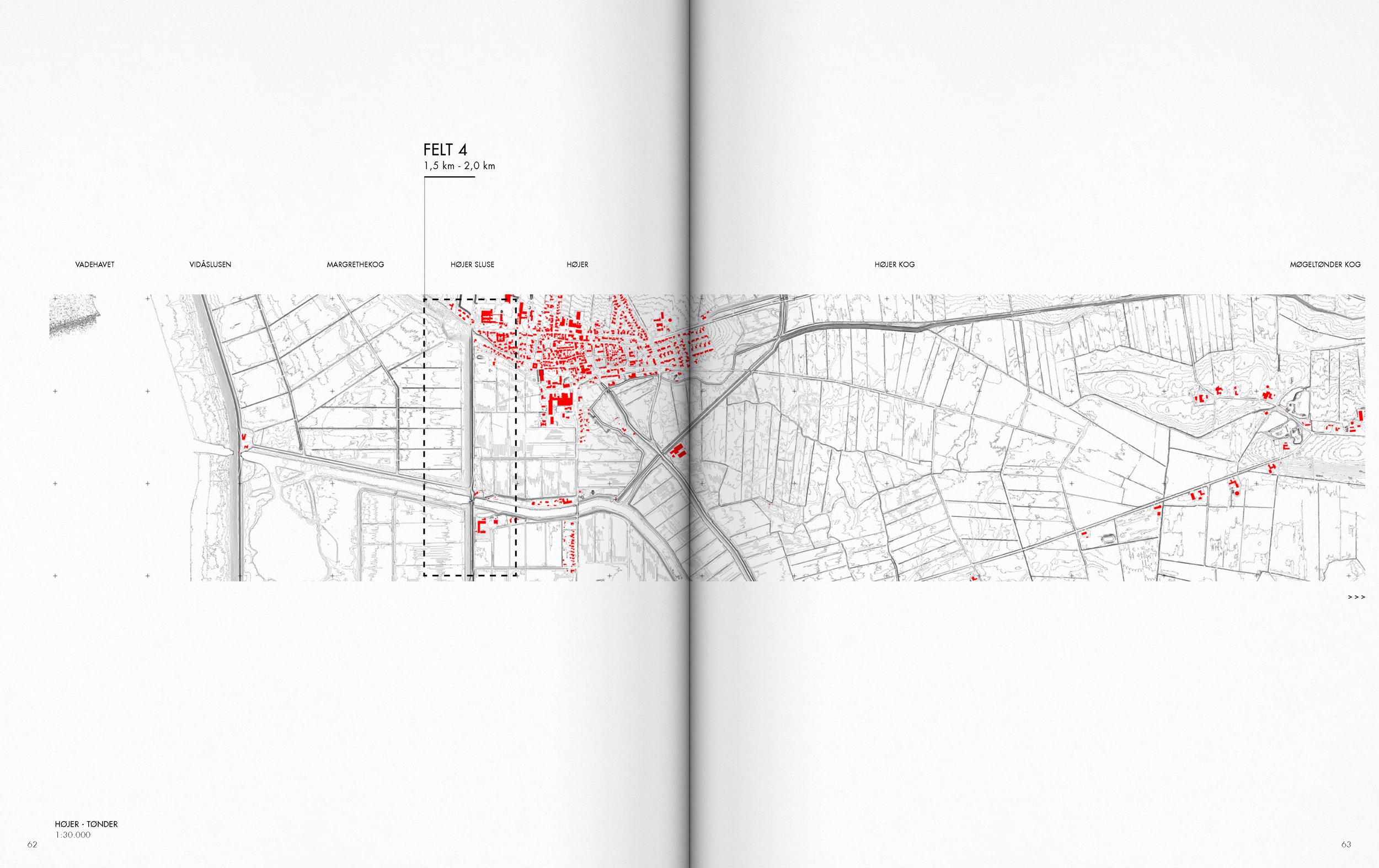
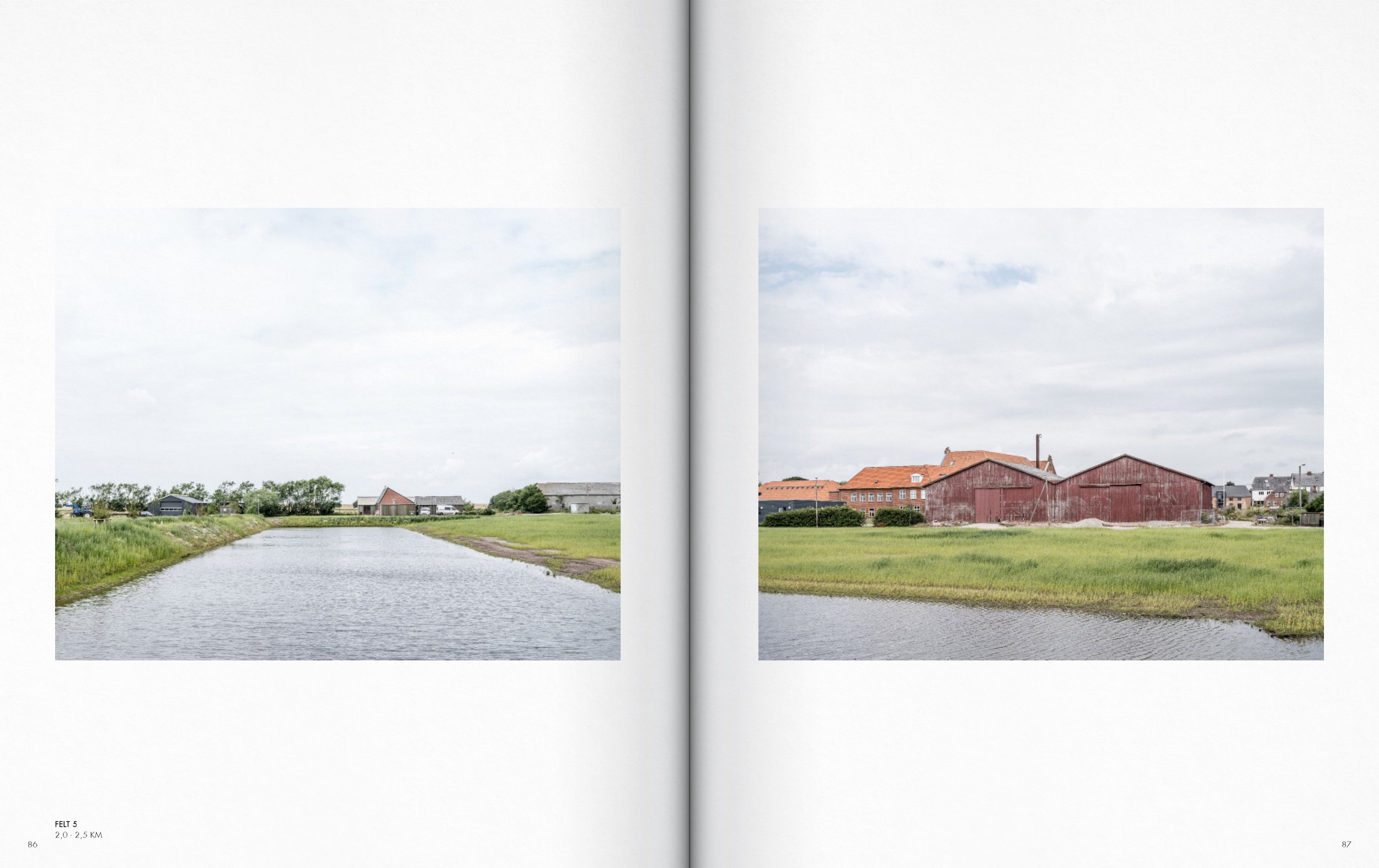
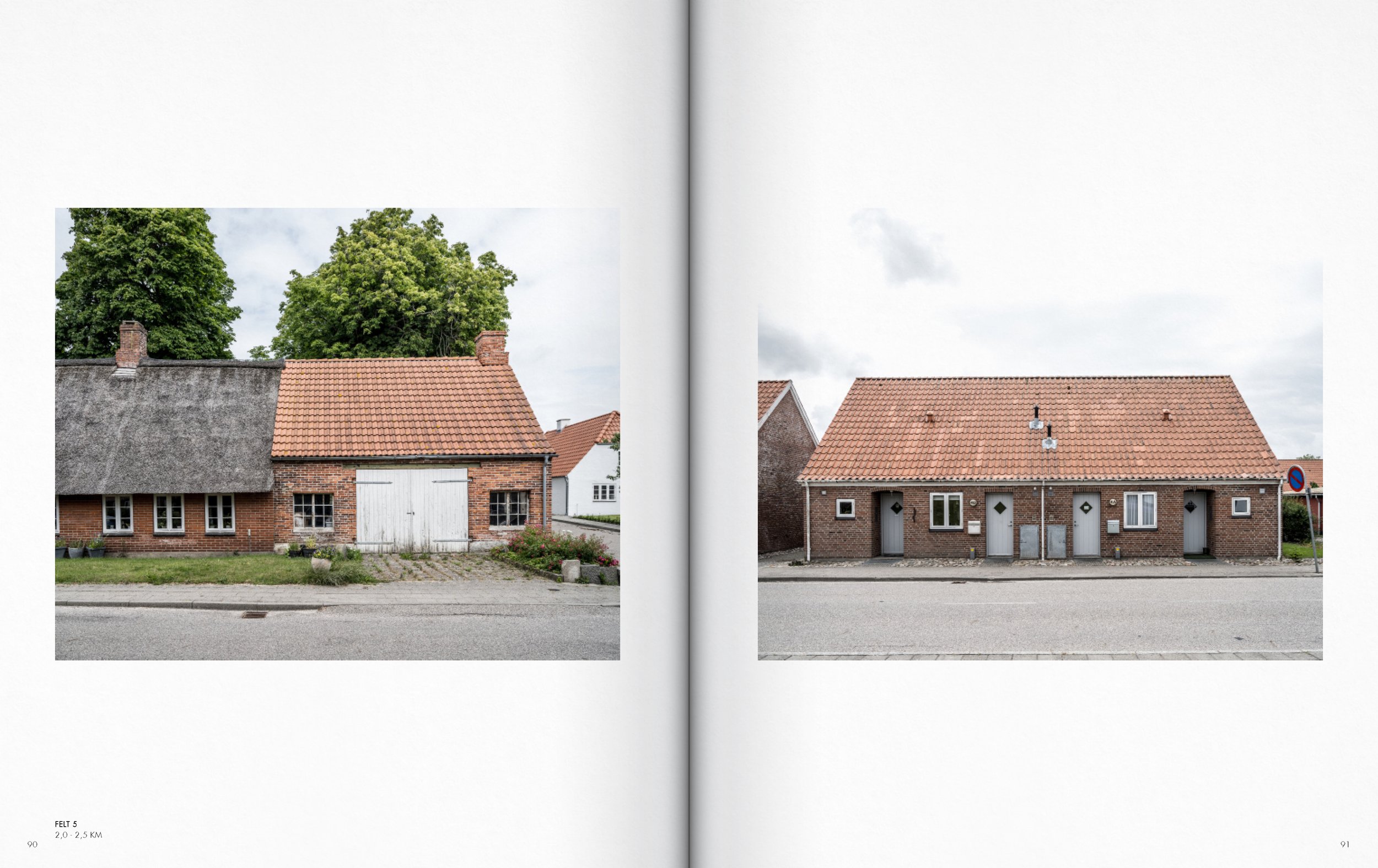
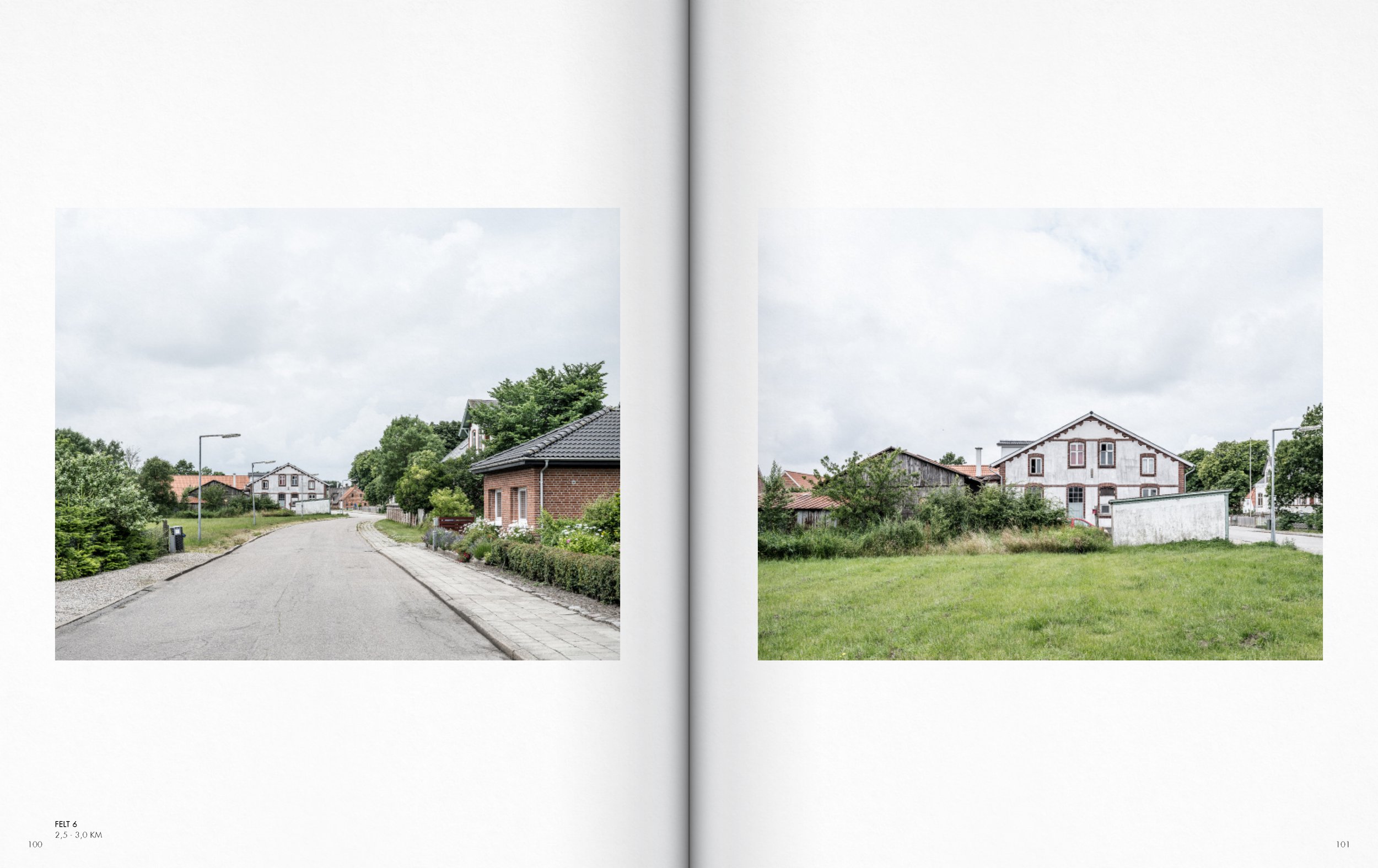
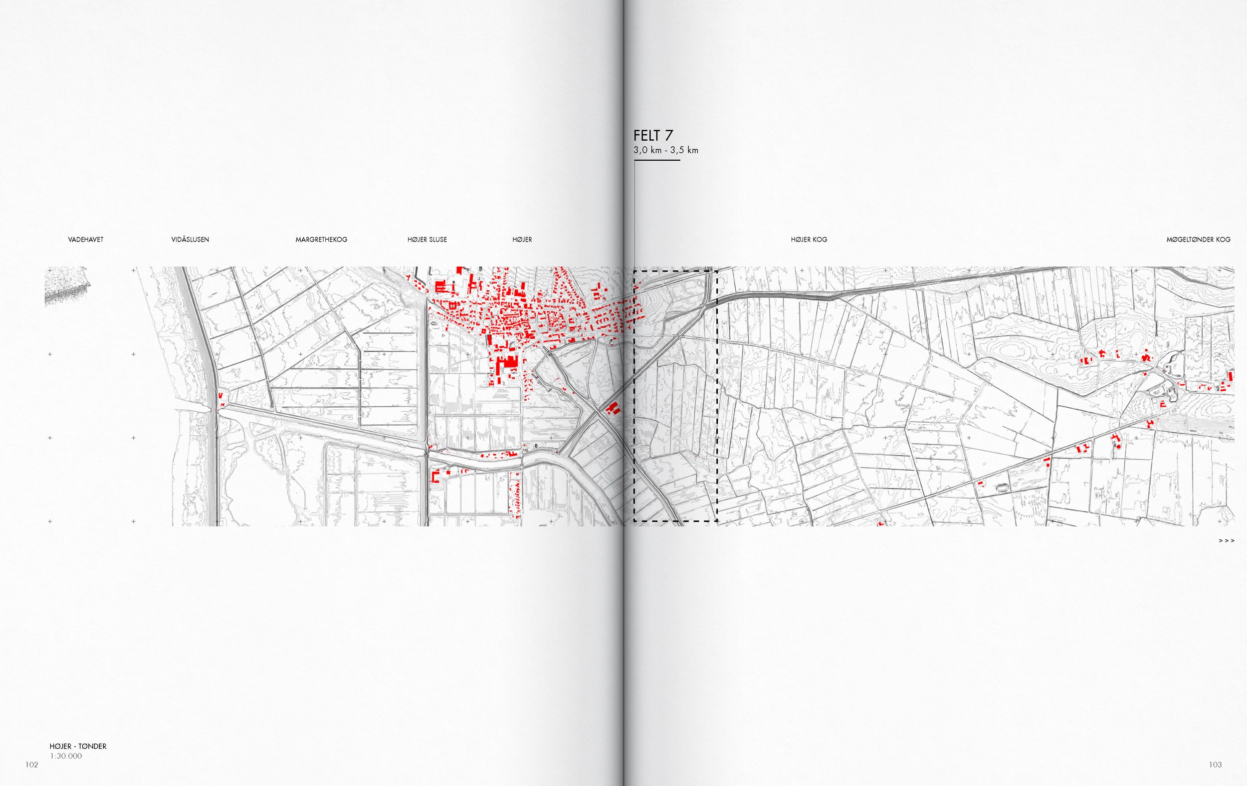
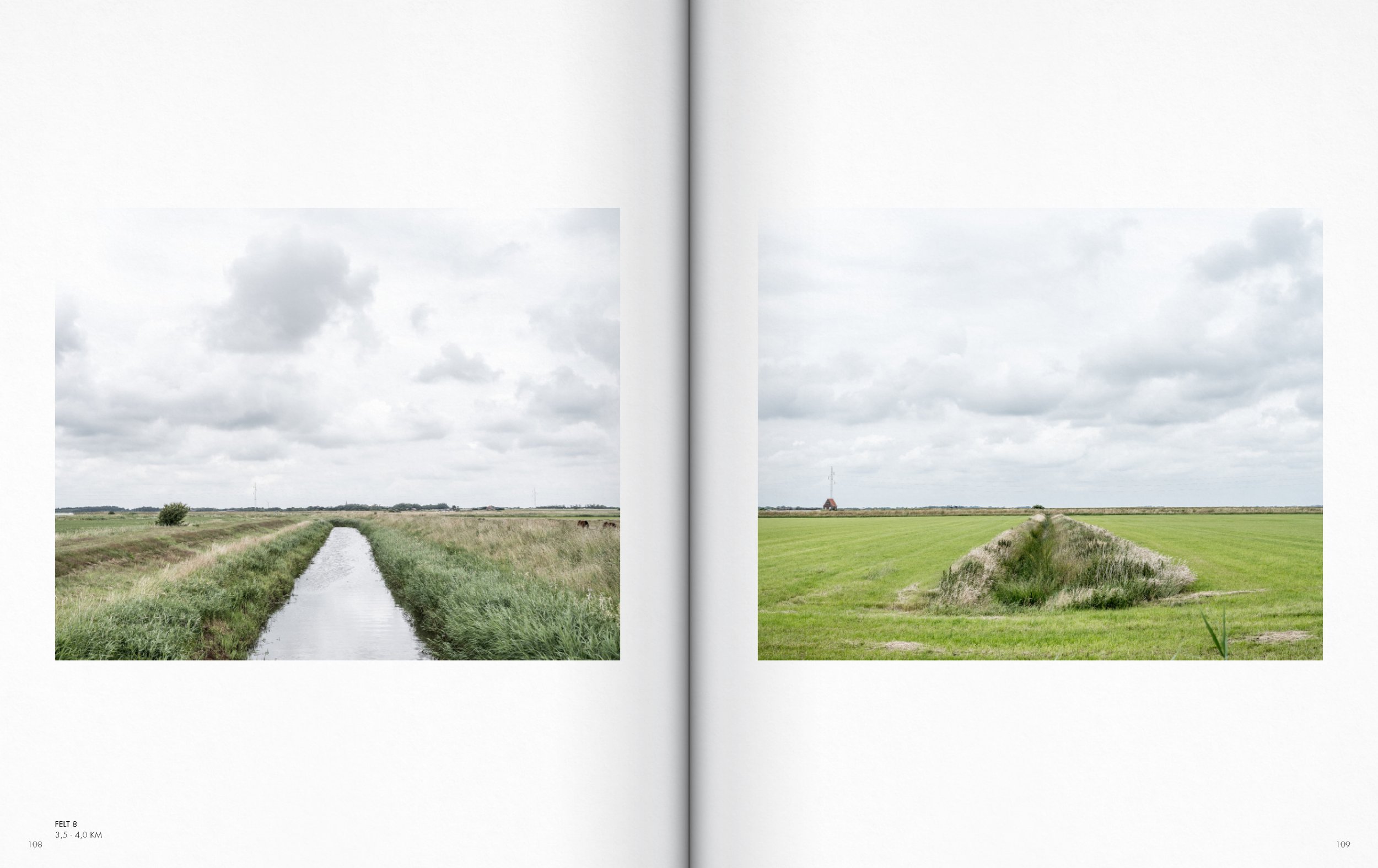
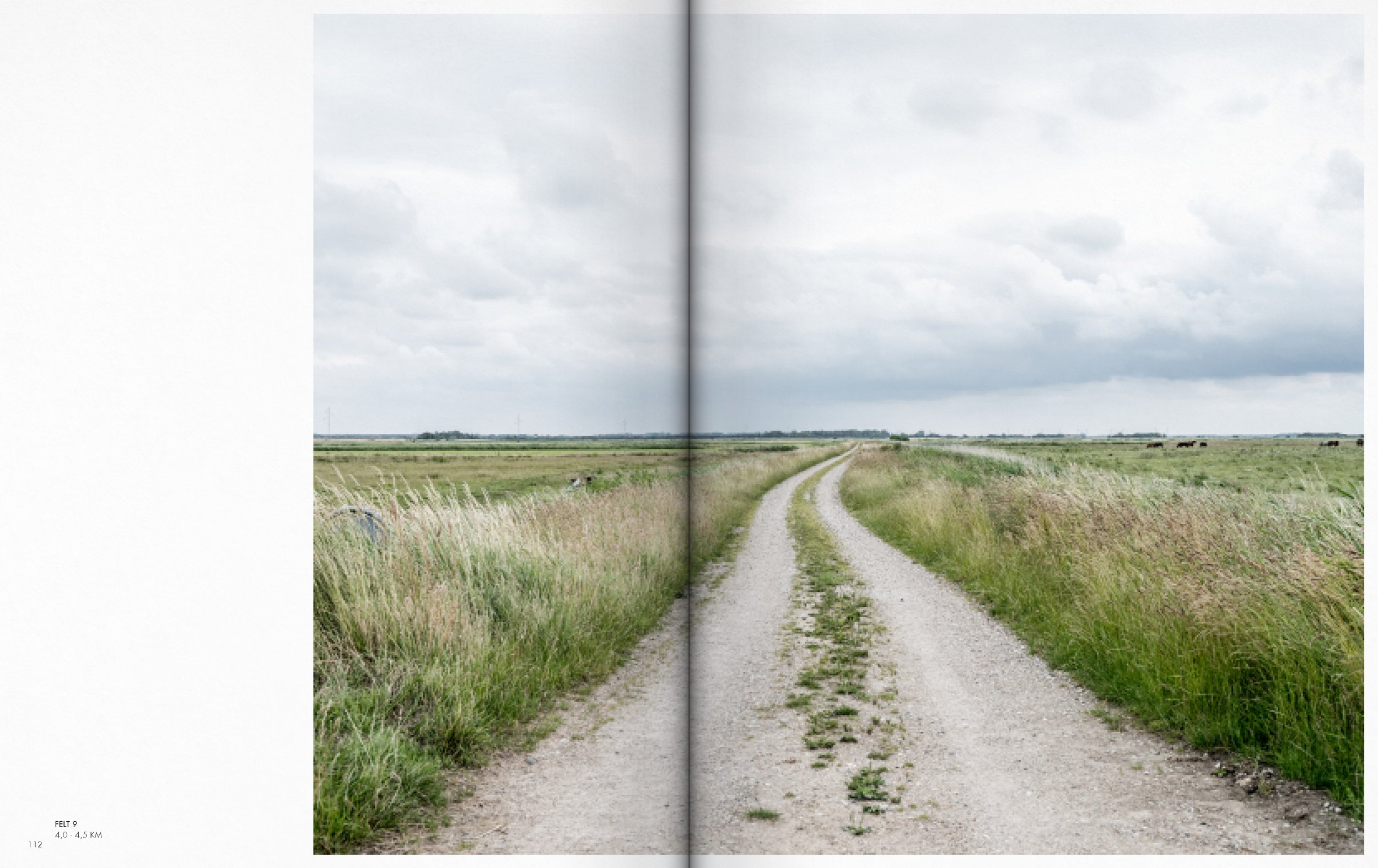
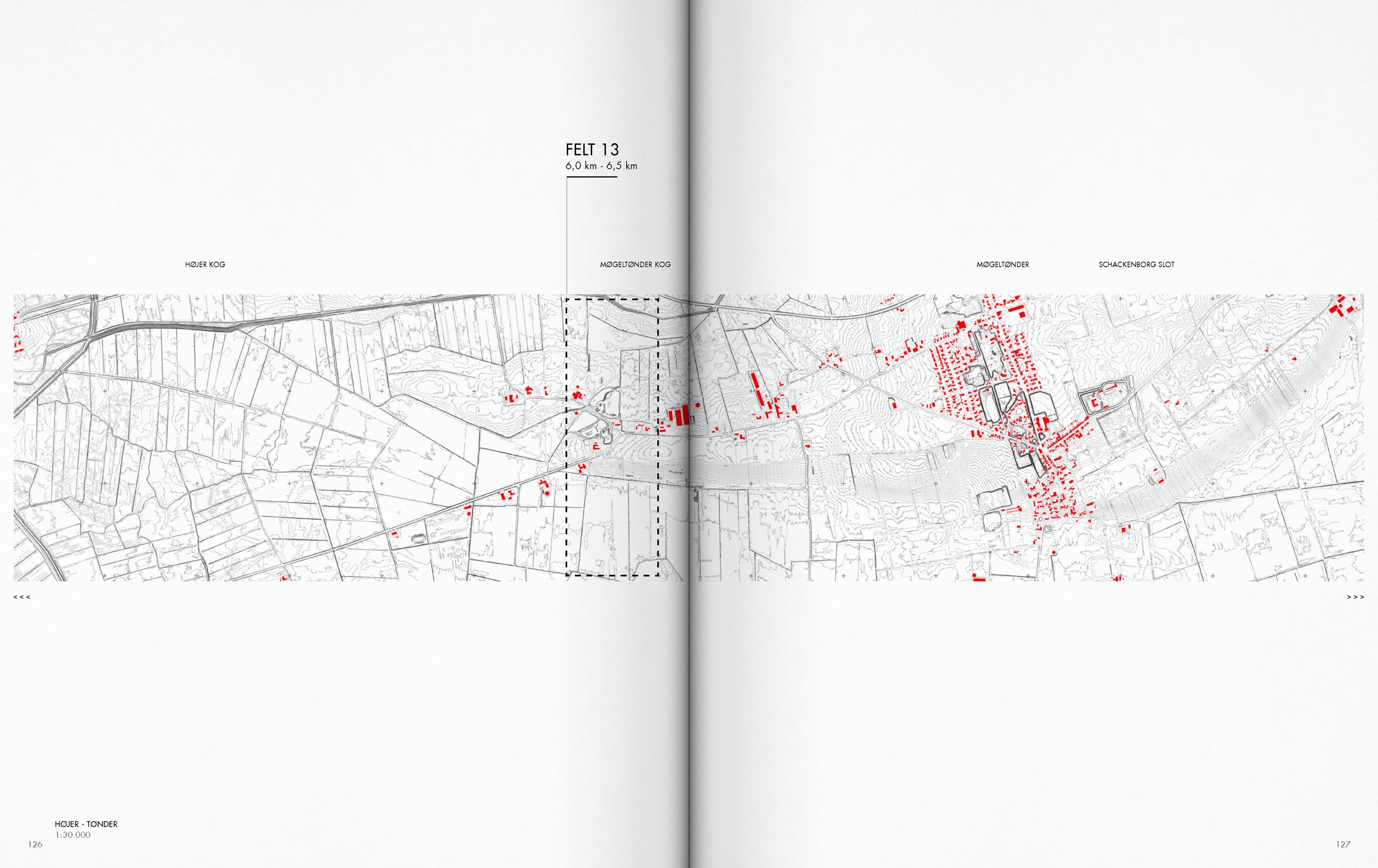
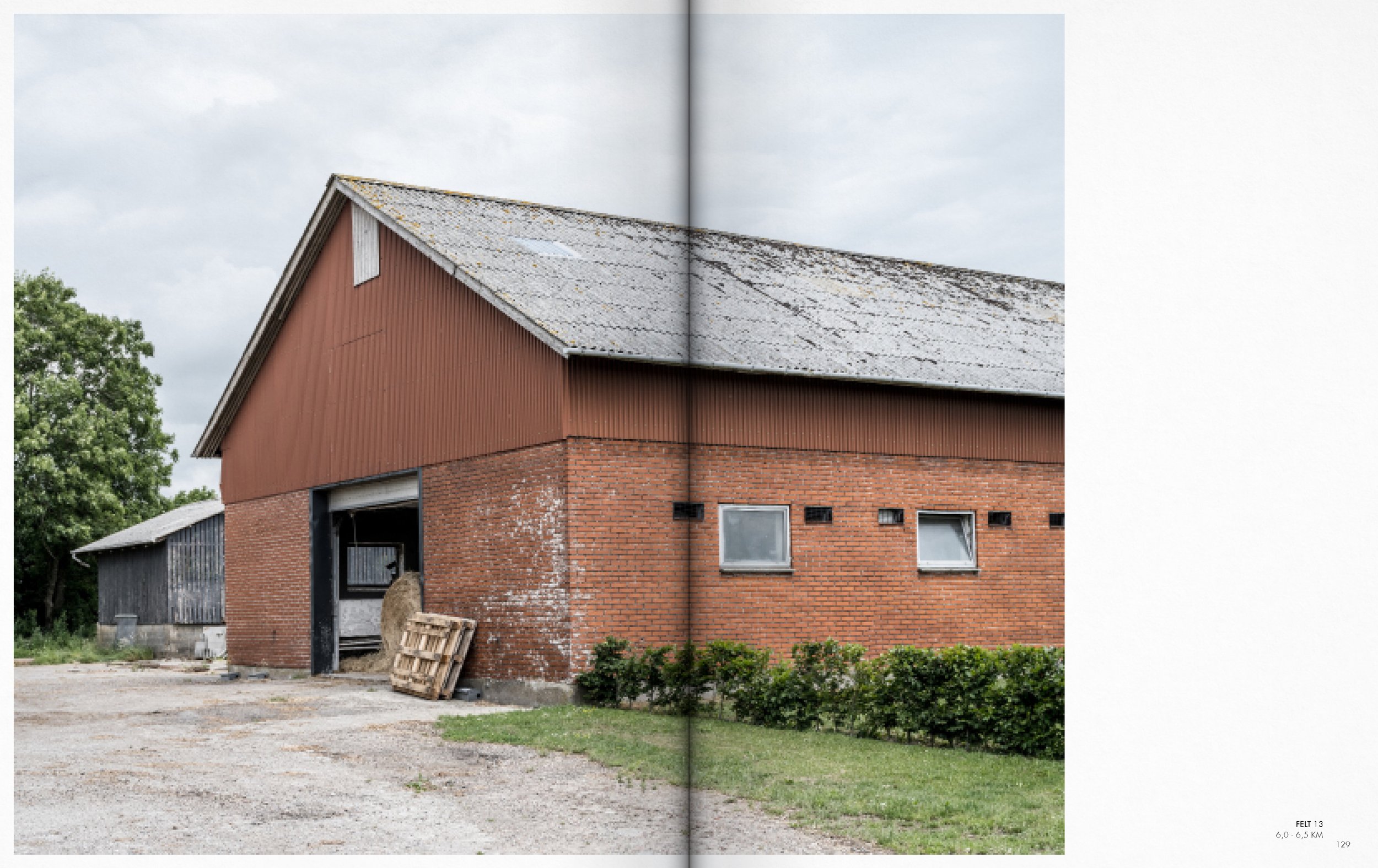
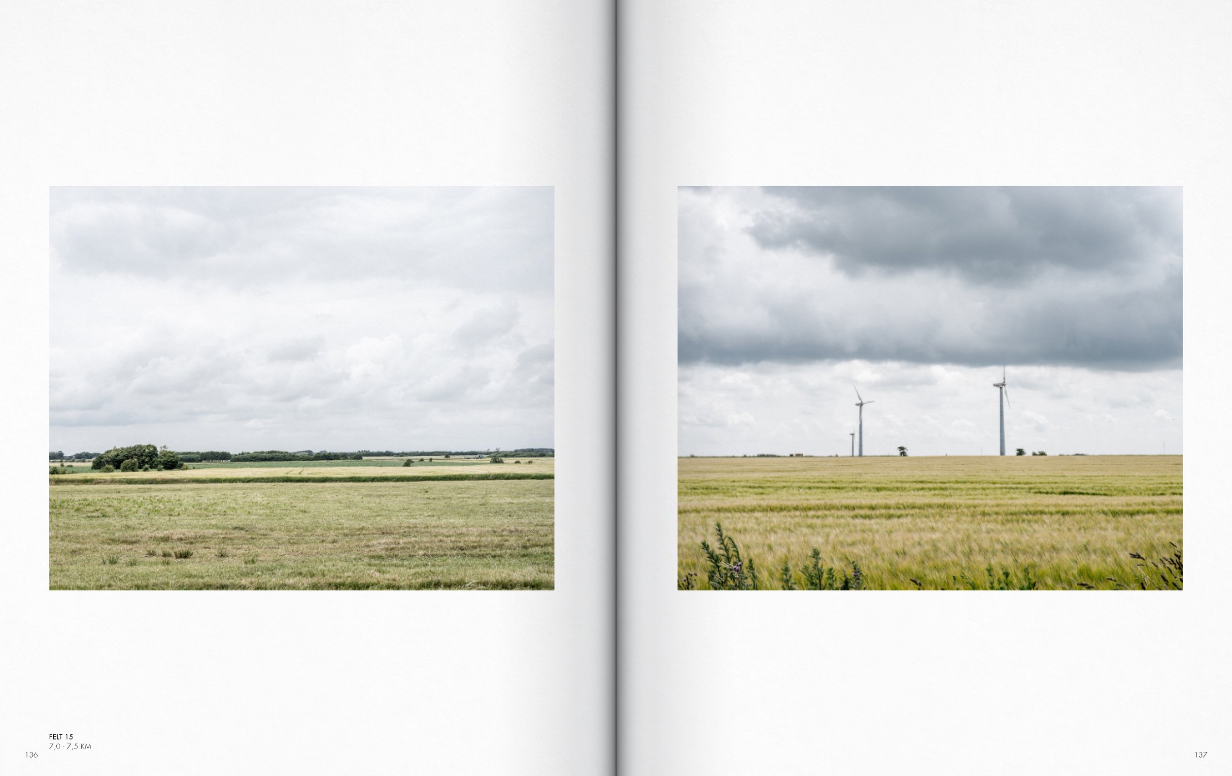
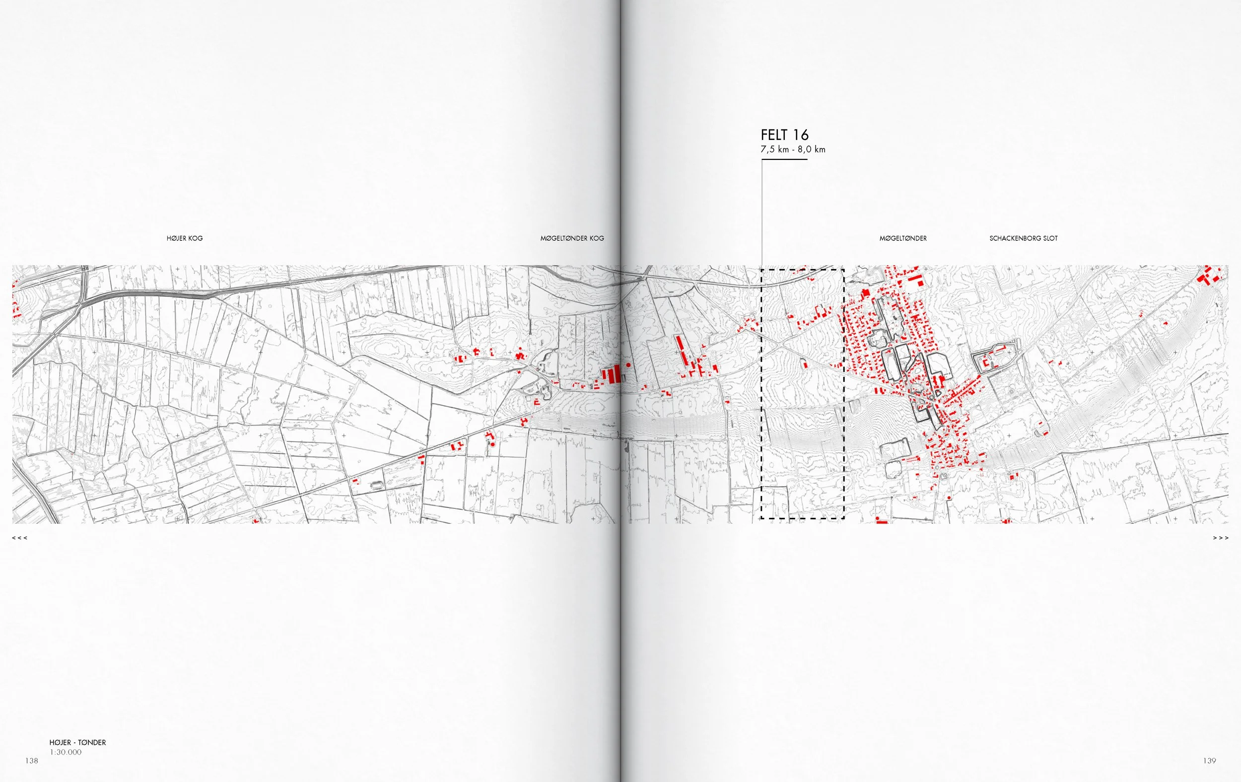
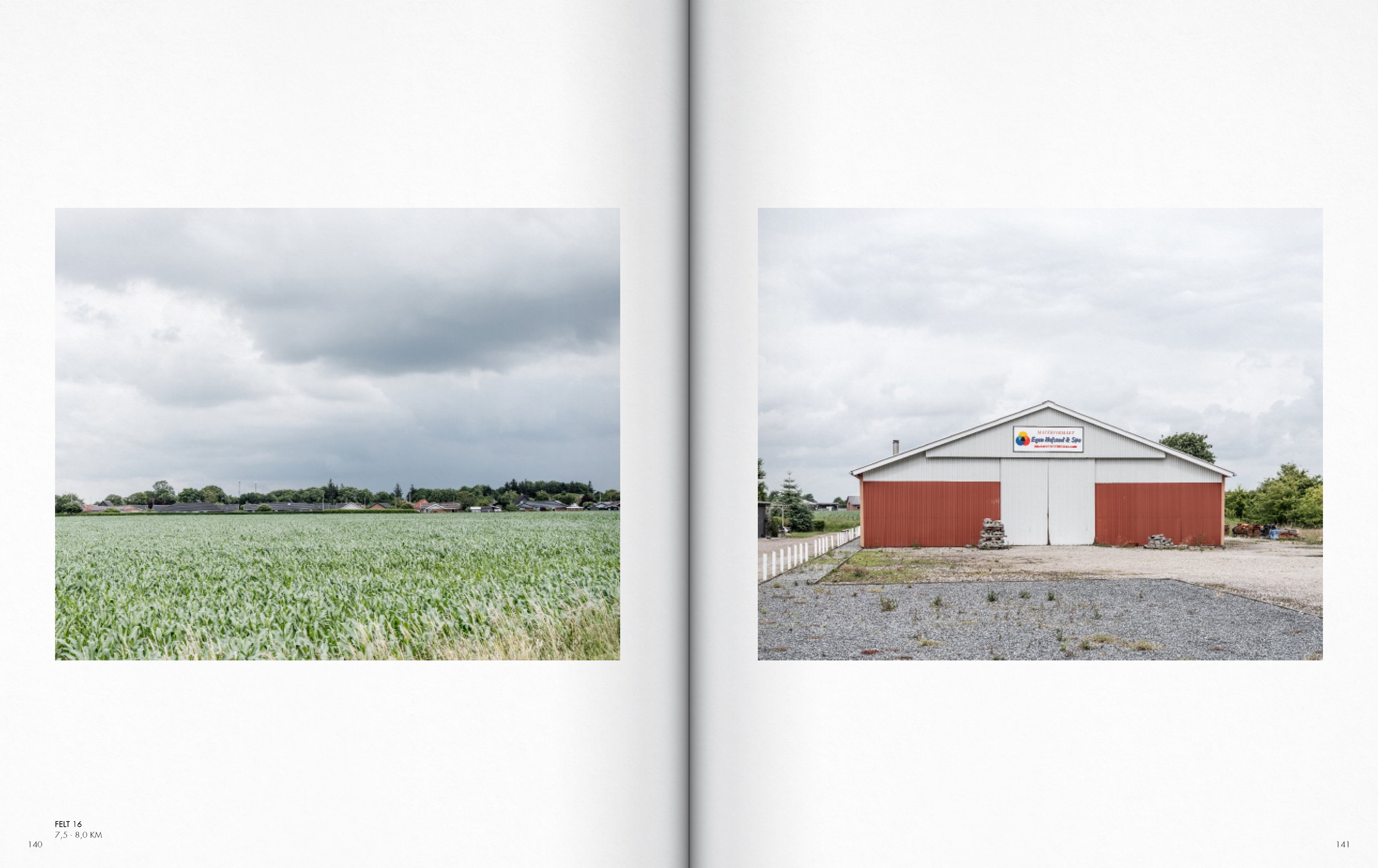
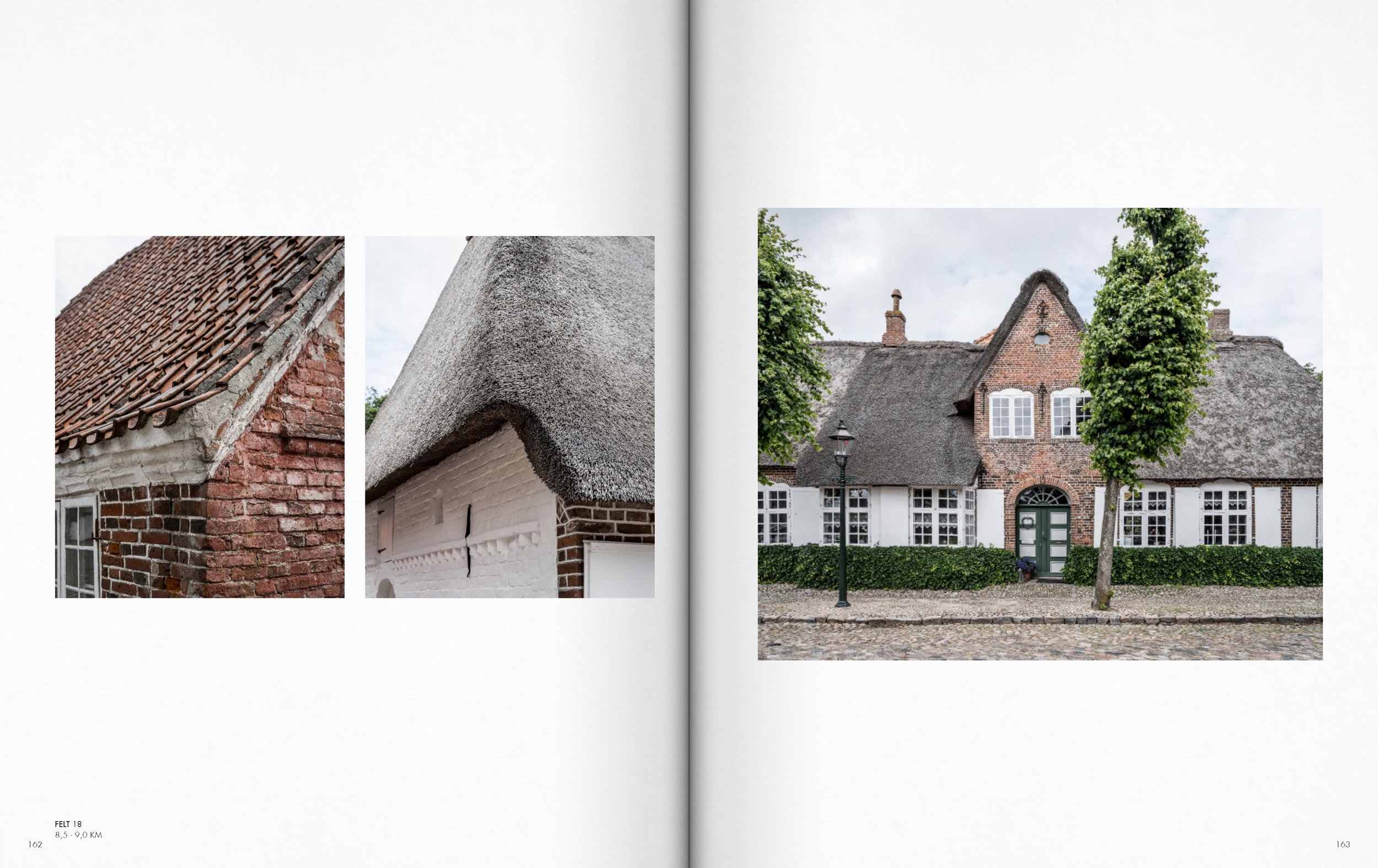
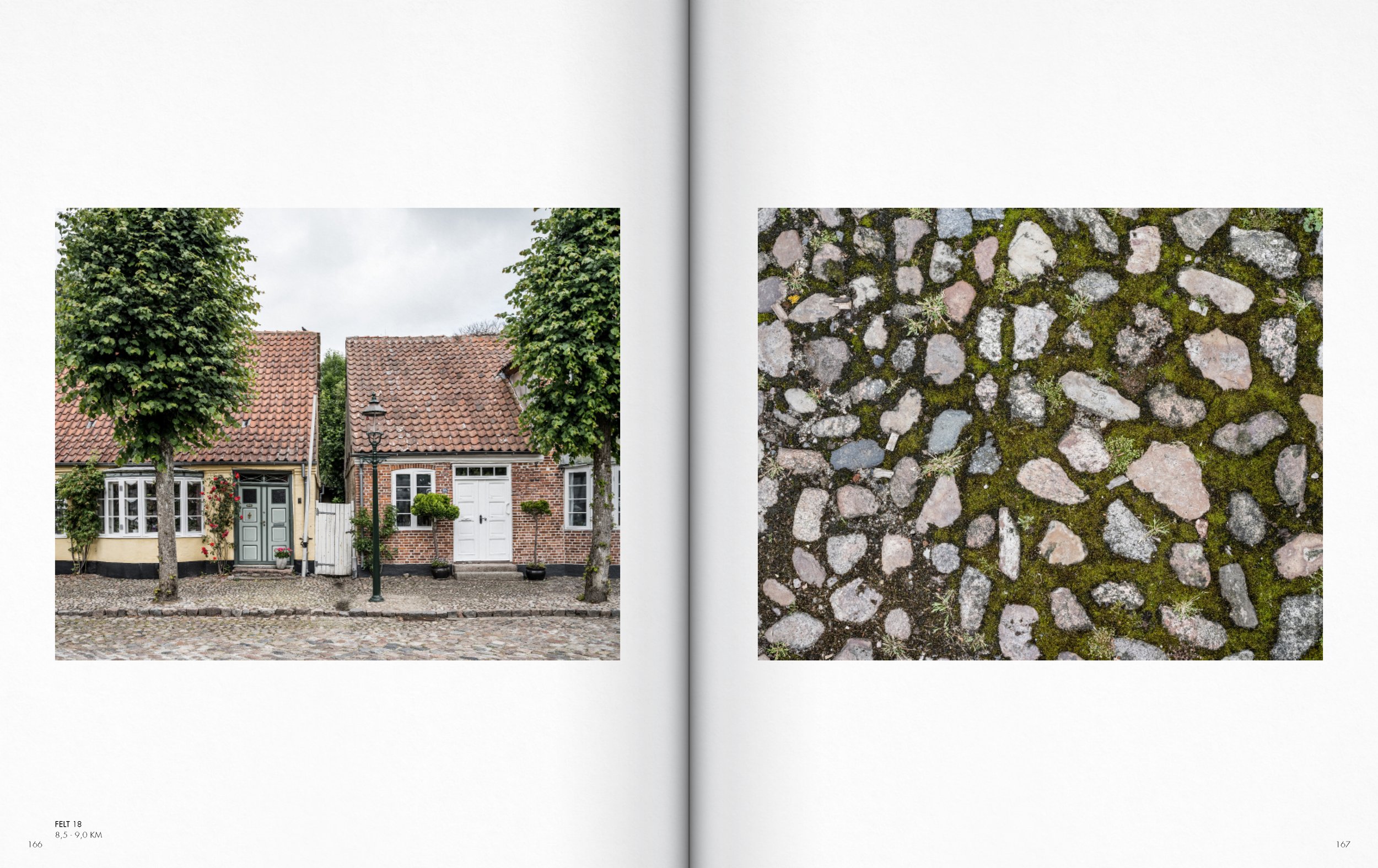
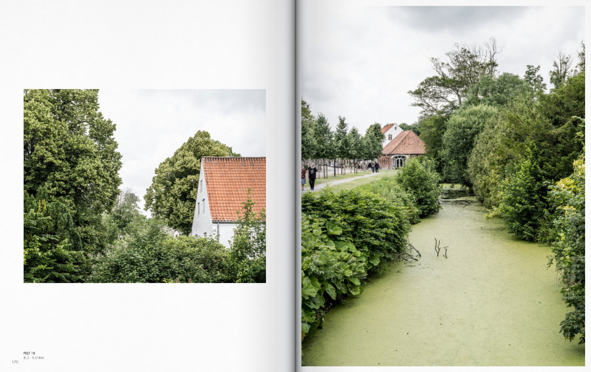
SECTION Højer - Tønder AA
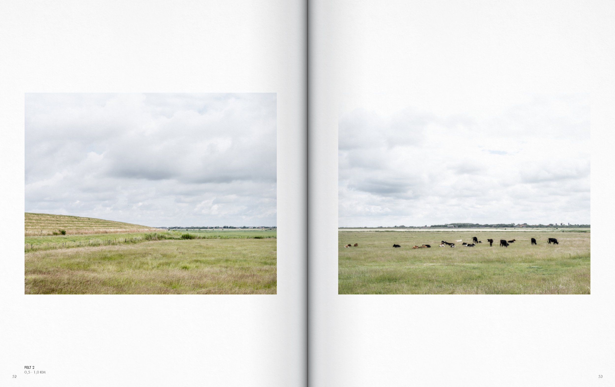
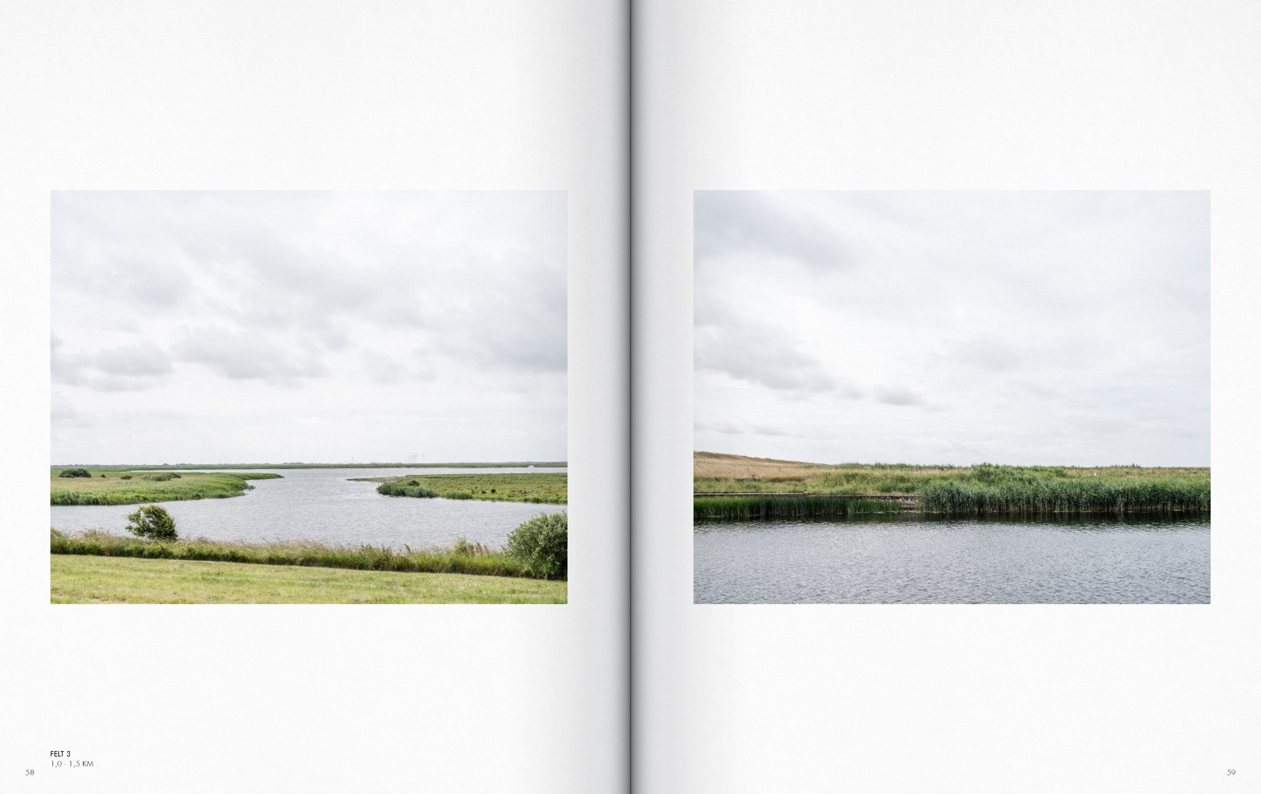
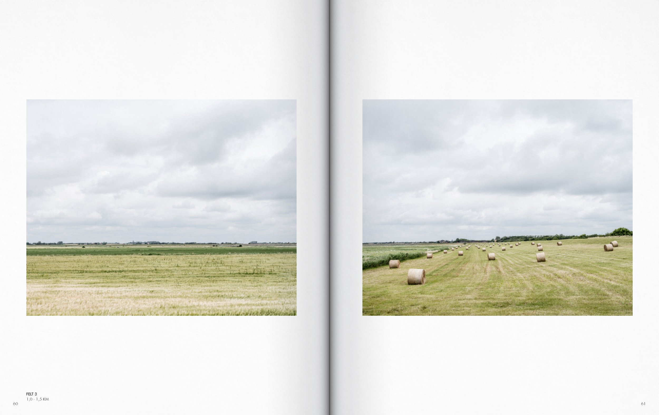
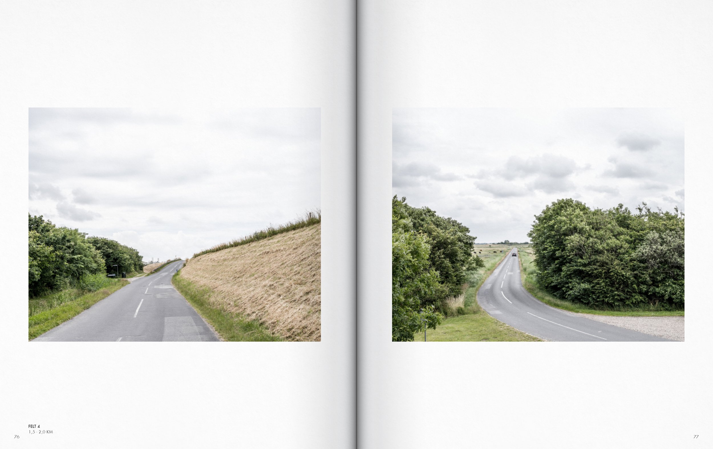
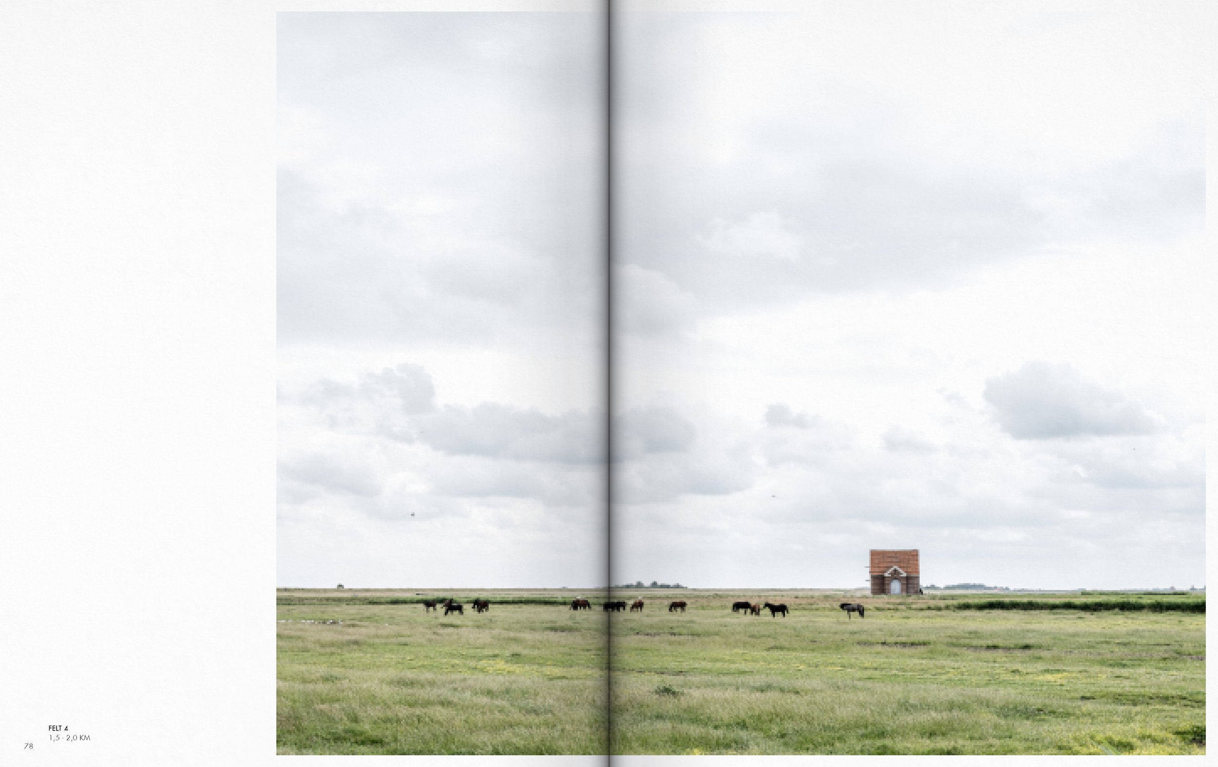
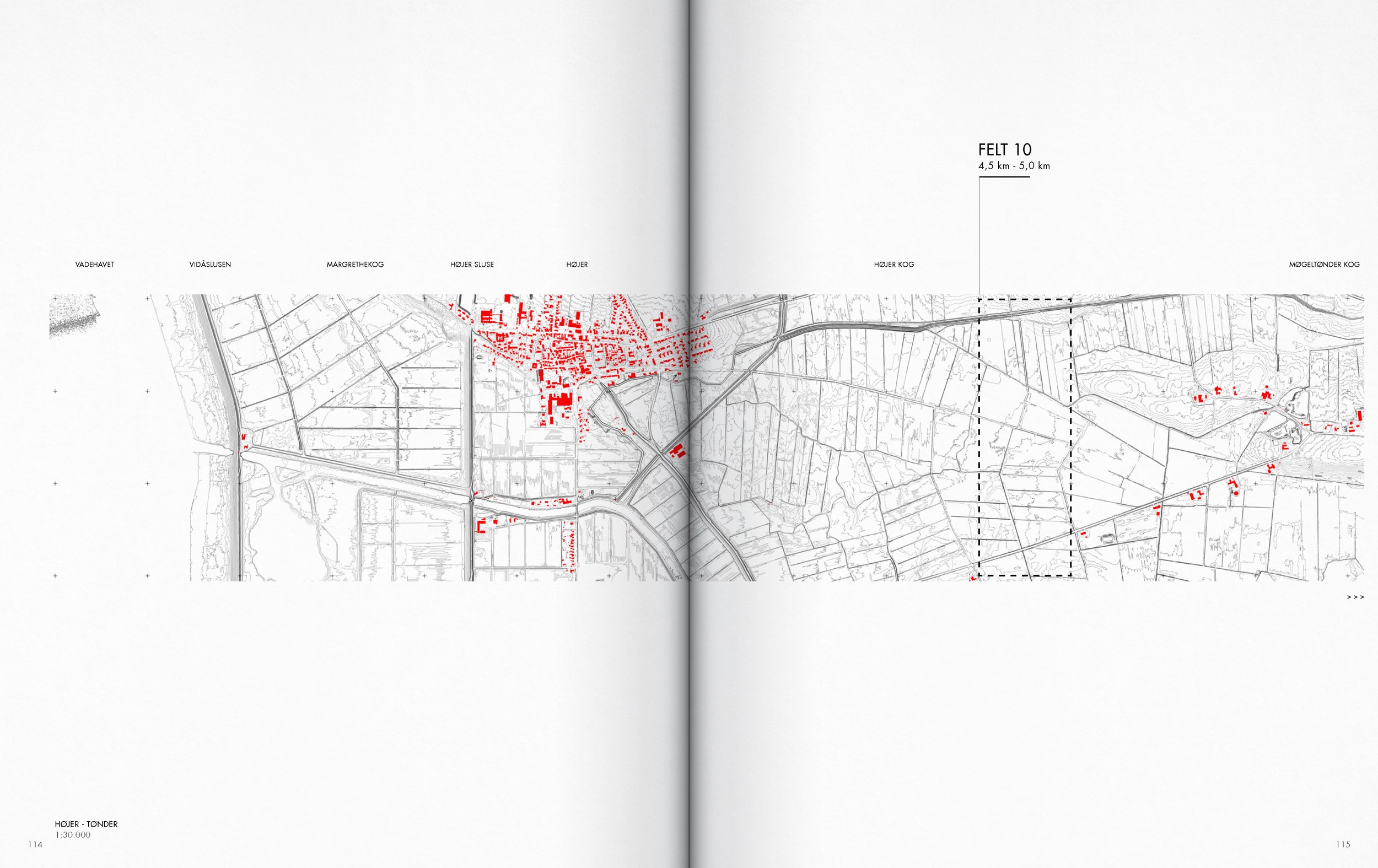
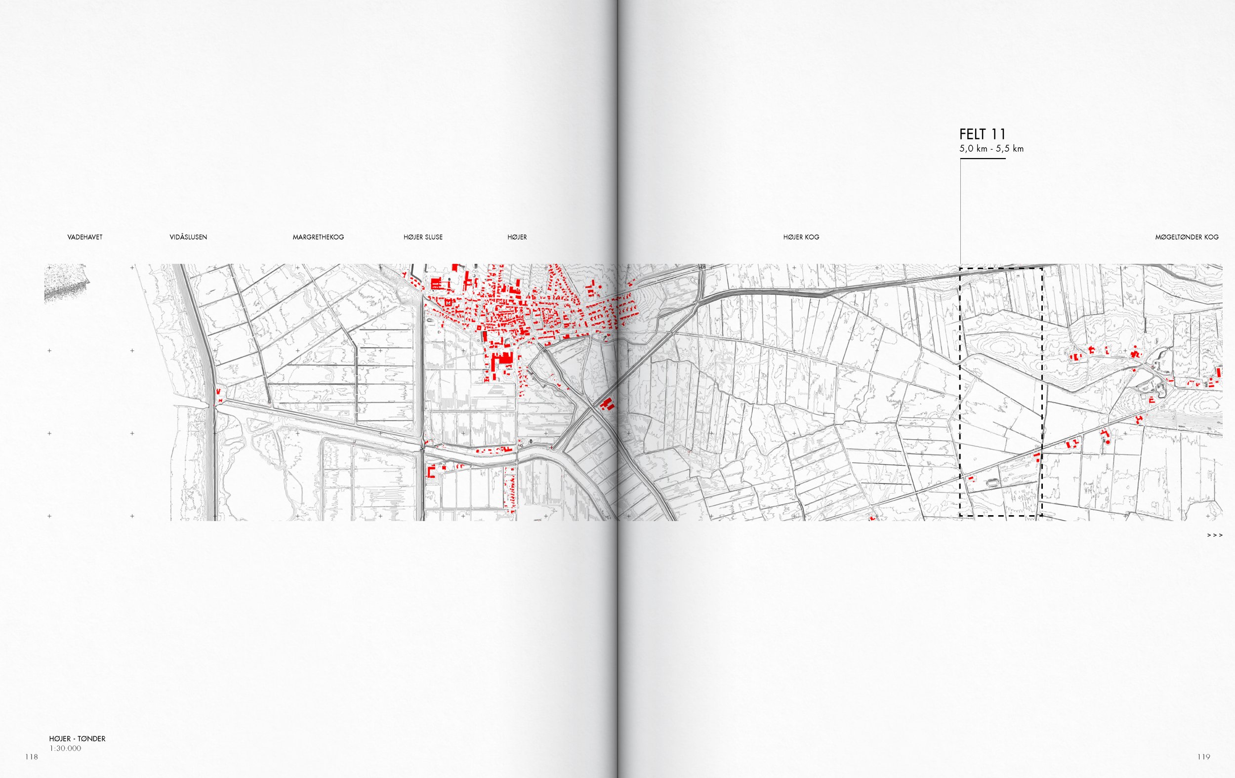
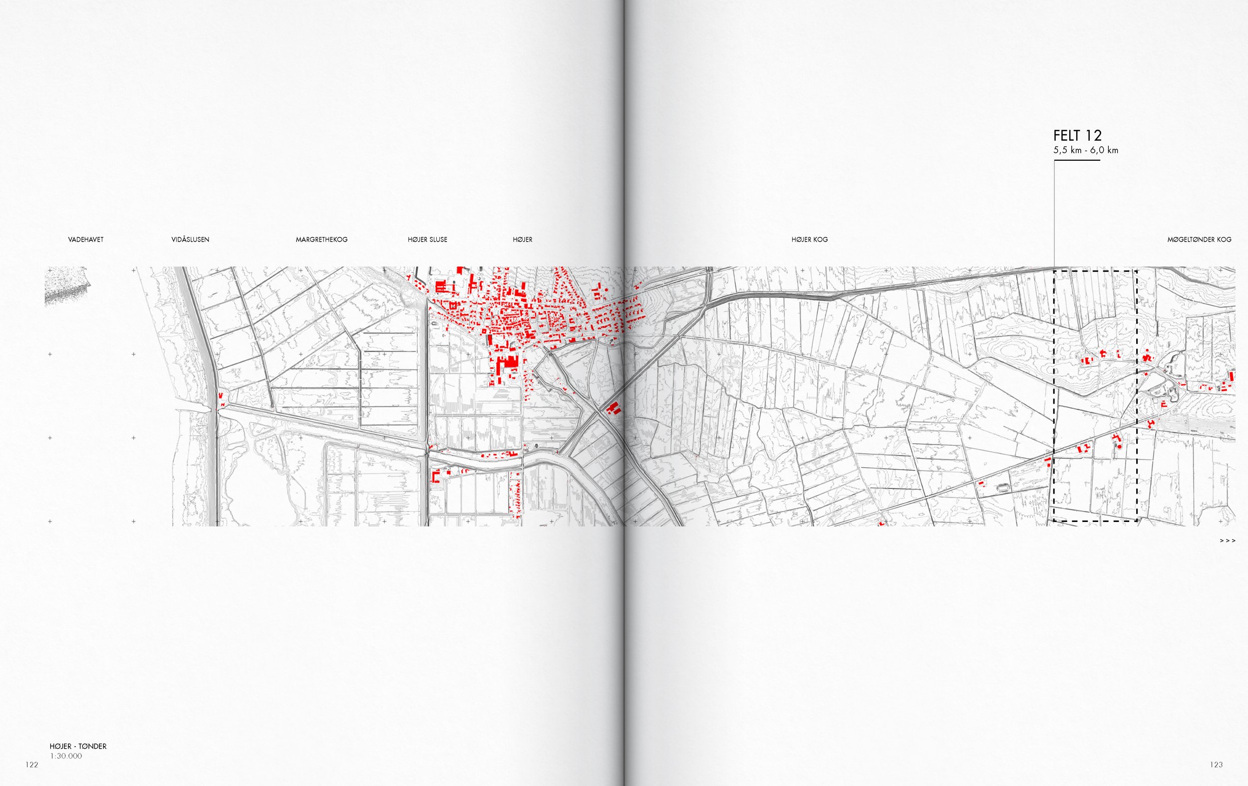
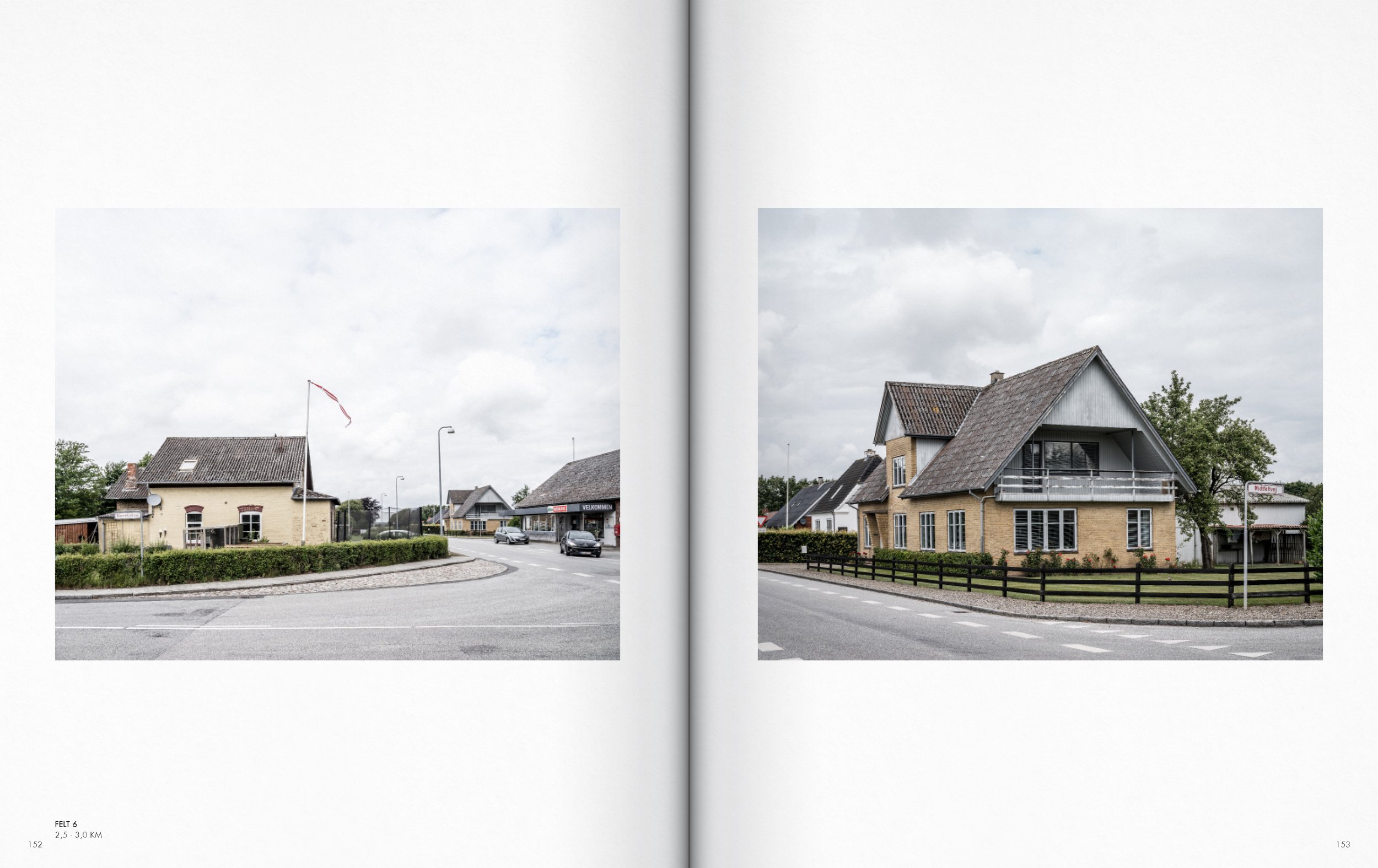
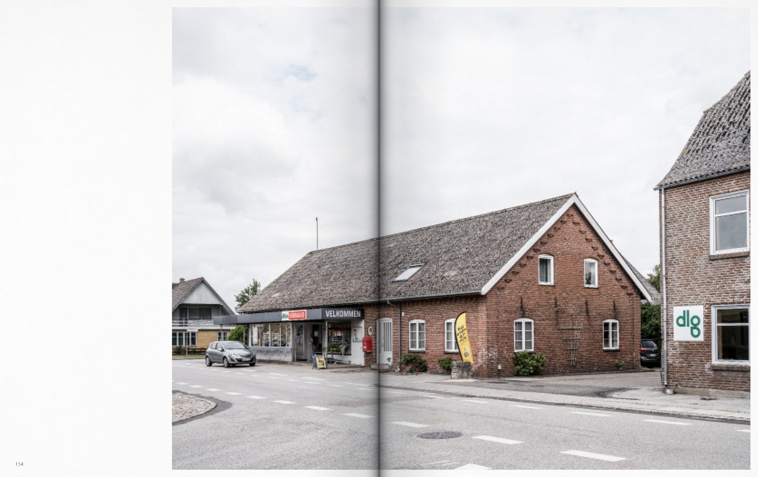
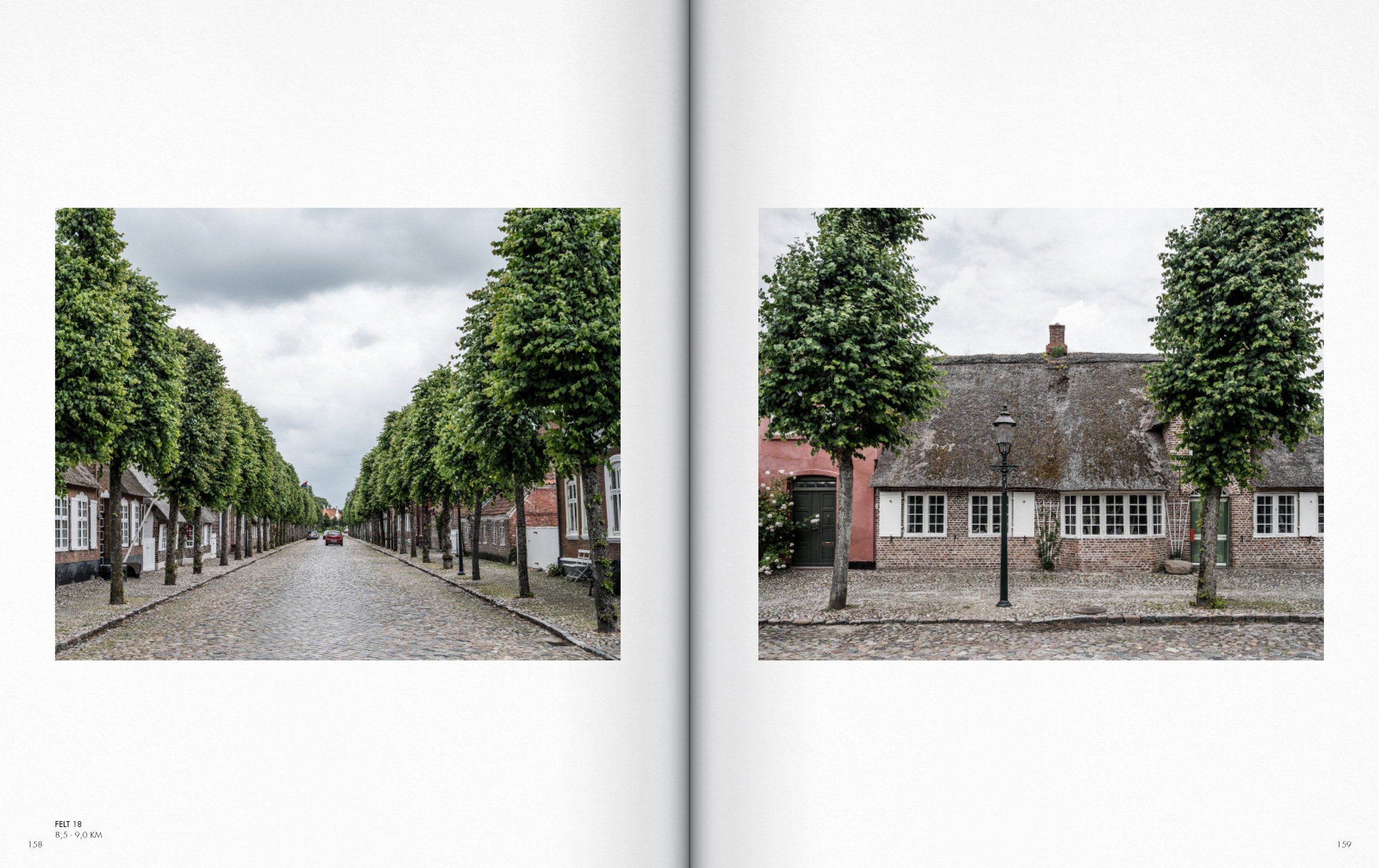
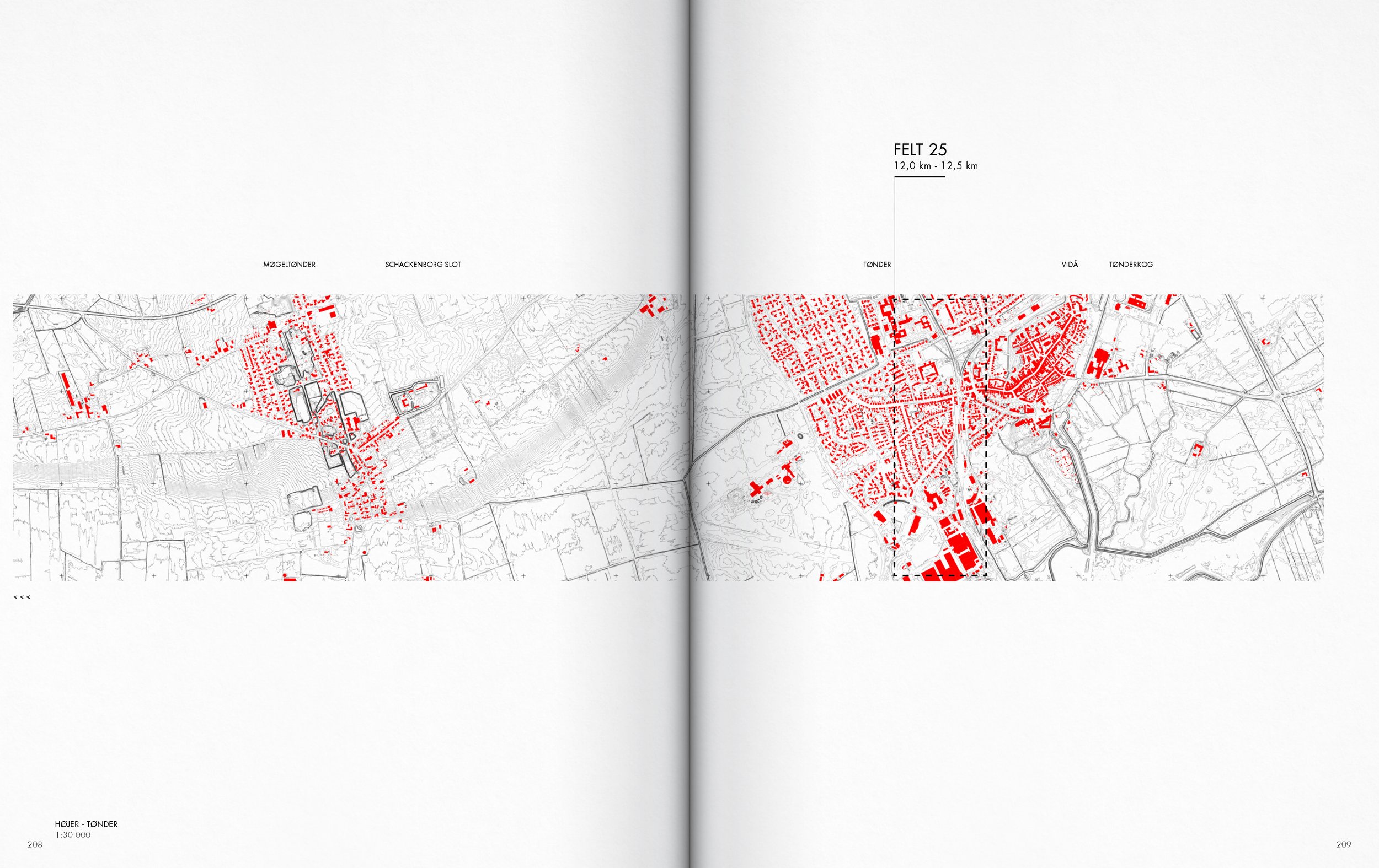
The framework of the thesis is the extensive database of photographic mappings developed between 2016 and 2021. It is a database created on the basis of 29 serial photographic sections, distributed along the length of the Danish West Coast.
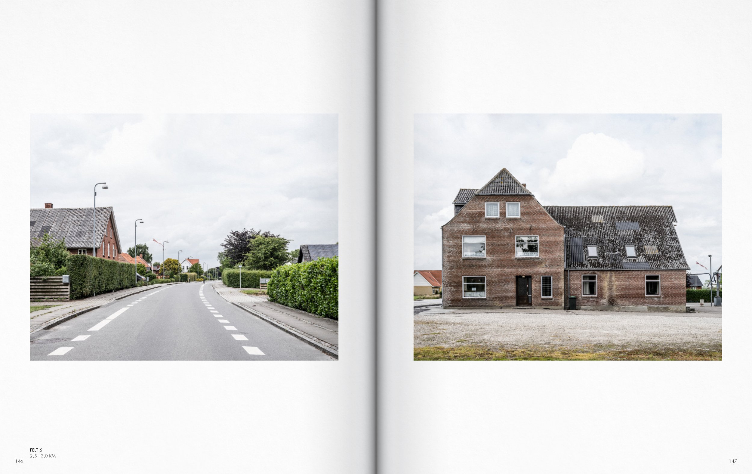
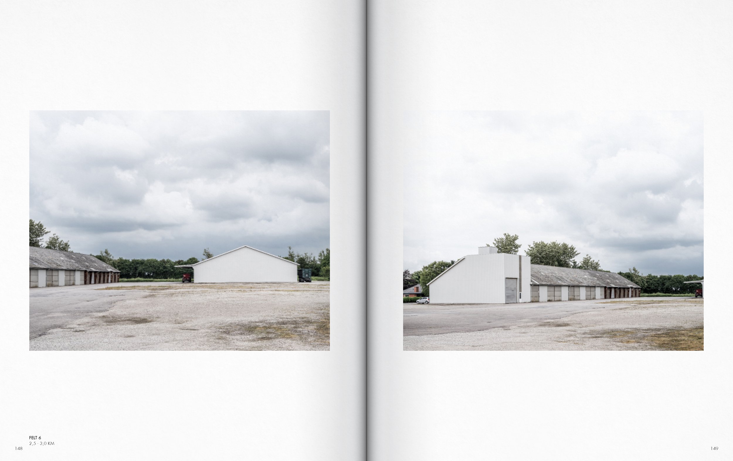
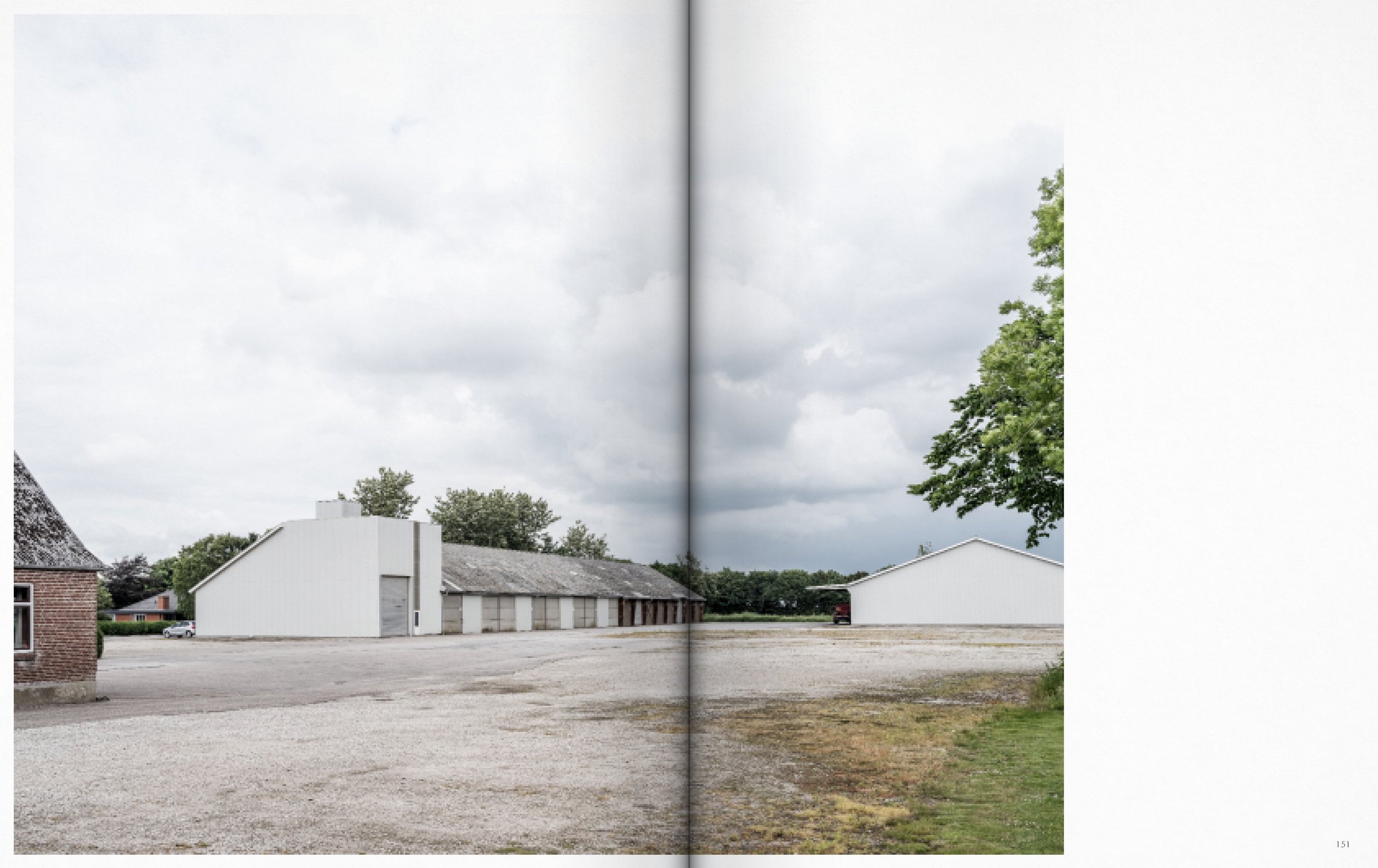
Rather than focusing exclusively on the coastal foreland and the already richly represented encounter between the sea and the coastal foreland's landscapes, these photographic sections transect the coastal territory - from the coastal foreland into the hinterland and their urban structures. A hinterland that, in addition to its spatial affinities with the coastline, is also largely defined by the structures, aesthetic characteristics, and atmospheres of modern society.
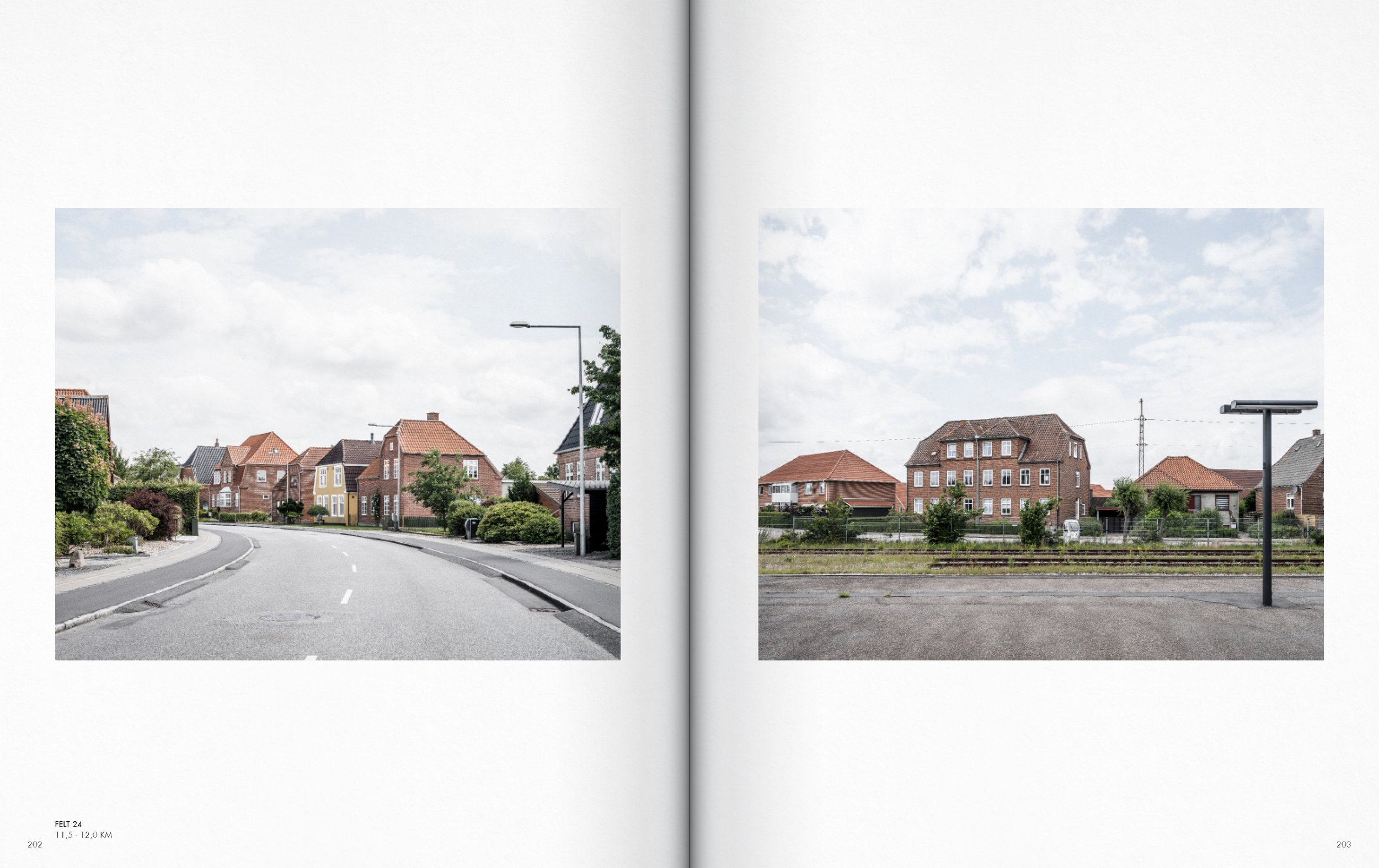
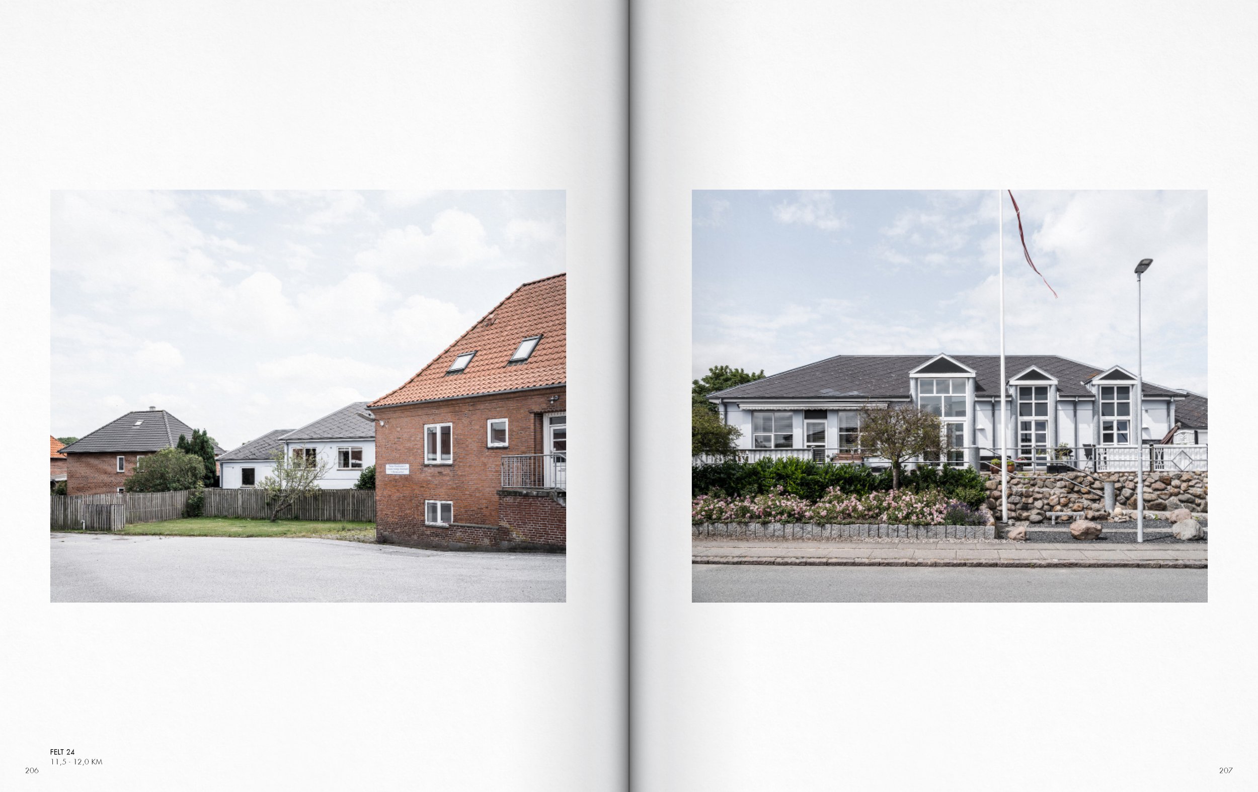
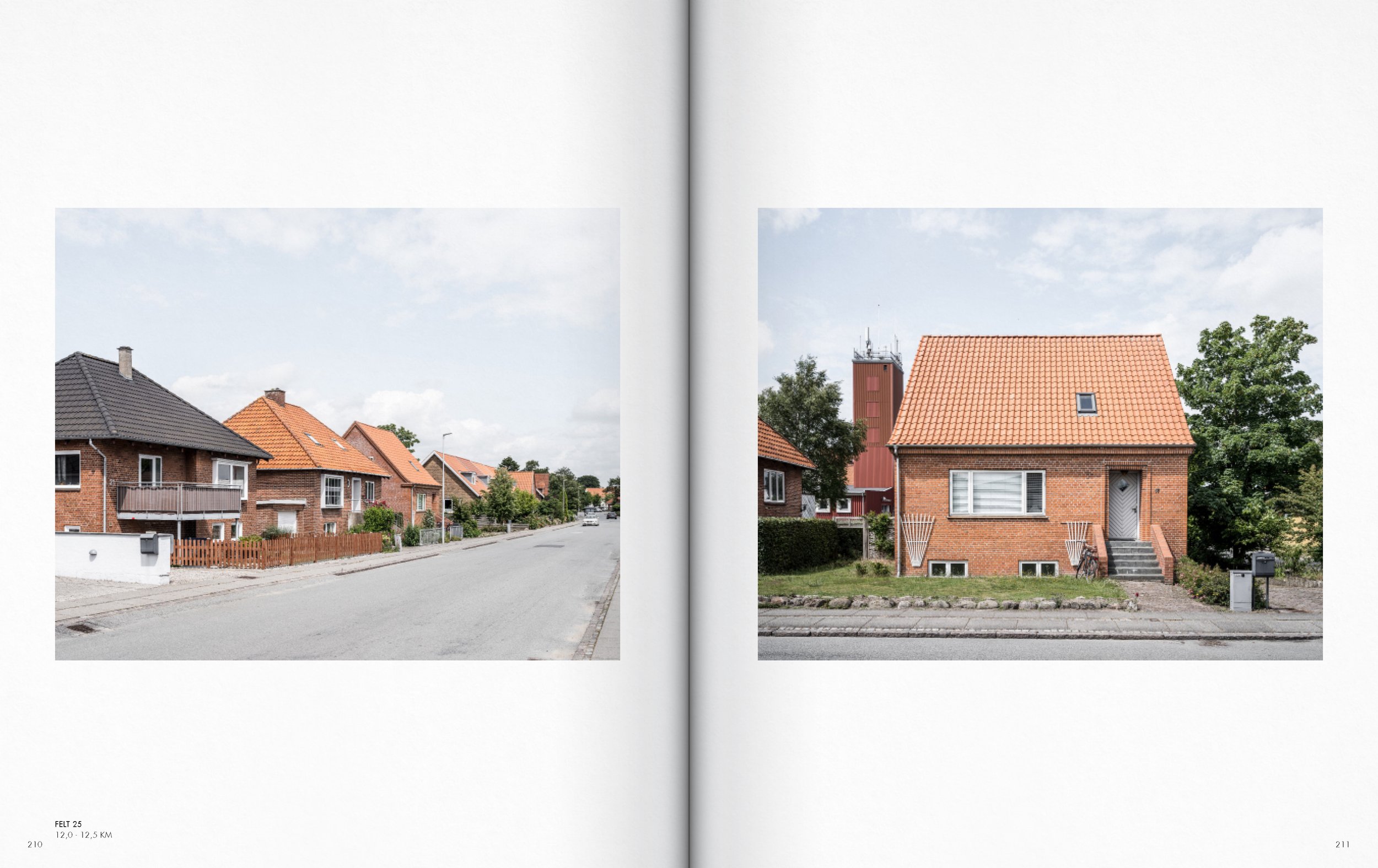
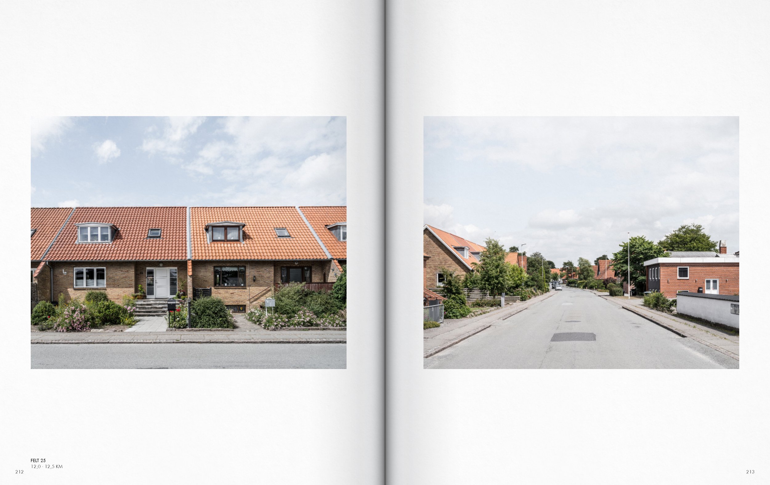
Section Højer - Tønder AA

Section Højer - Tønder AA
Section Højer - Tønder AA

Section Højer - Tønder AA
Section Højer - Tønder AA
Section Højer - Tønder AA
Section Højer - Tønder AA
Section Højer - Tønder AA
Section Højer - Tønder AA
Section Højer - Tønder AA
Section Højer - Tønder AA
Section Højer - Tønder AA
Section Højer - Tønder AA
Section Højer - Tønder AA
Section Højer - Tønder AA
Section Højer - Tønder AA
Section Højer - Tønder AA
Section Højer - Tønder AA

Section Højer - Tønder AA

Section Højer - Tønder AA

Section Højer - Tønder AA

Section Højer - Tønder AA
Section Højer - Tønder AA
Section Højer - Tønder AA

Section Højer - Tønder AA
Section Højer - Tønder AA
Section Højer - Tønder AA
Section Højer - Tønder AA
Section Højer - Tønder AA

Section Højer - Tønder AA
Section Højer - Tønder AA
Section Højer - Tønder AA
Section Højer - Tønder AA
Section Højer - Tønder AA
Section Højer - Tønder AA

Section Højer - Tønder AA
Section Højer - Tønder AA

Section Højer - Tønder AA
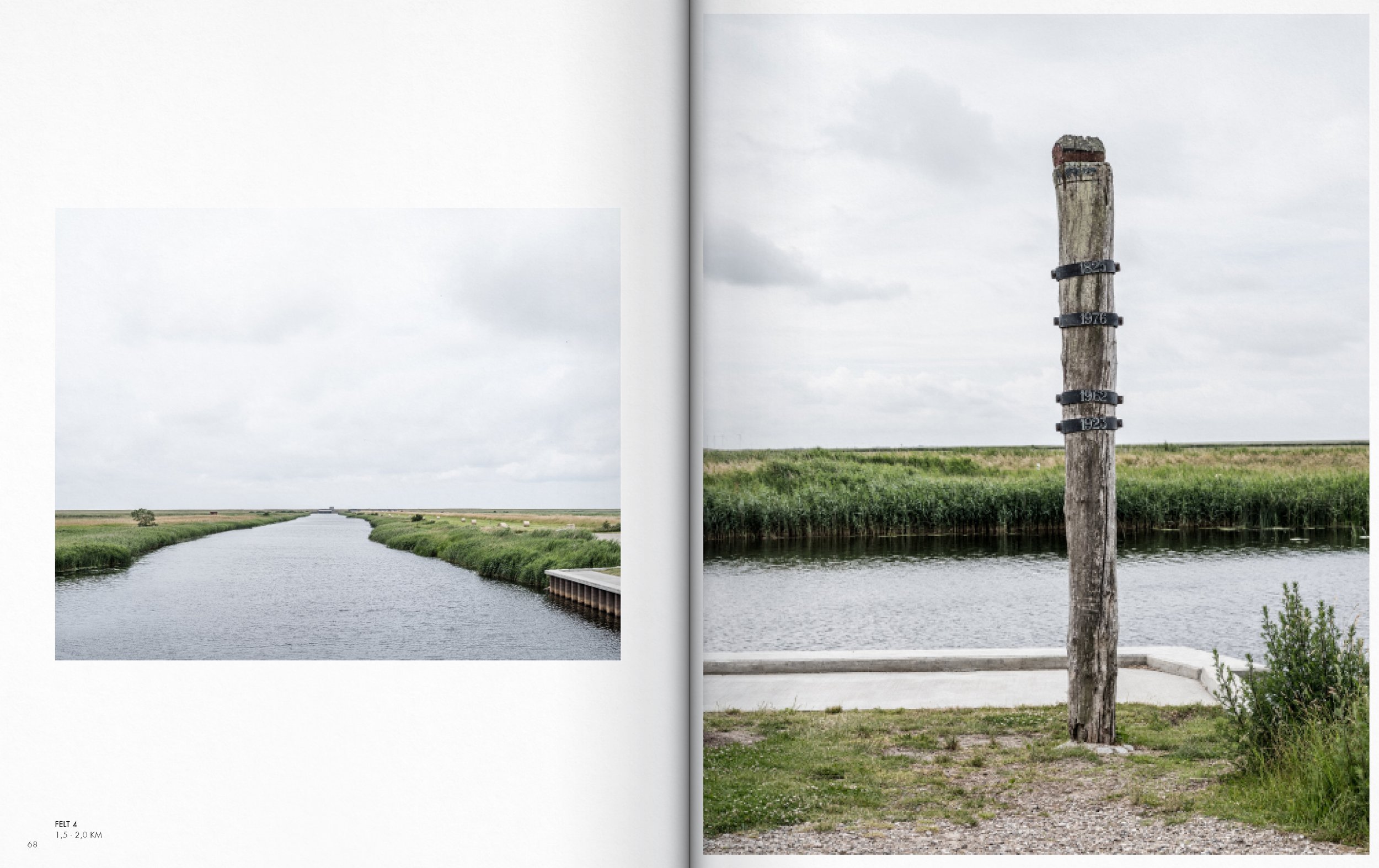
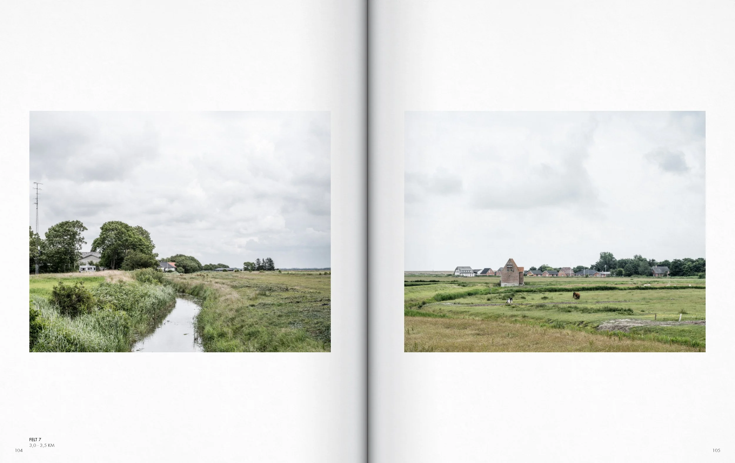
A diptych of two landscape photographs showing a waterway with grassy banks and farm buildings in the distance under a cloudy sky.
Two side-by-side images of houses in a quaint town, one with a thatched roof and a brick facade, the other with a tiled roof and brick exterior.
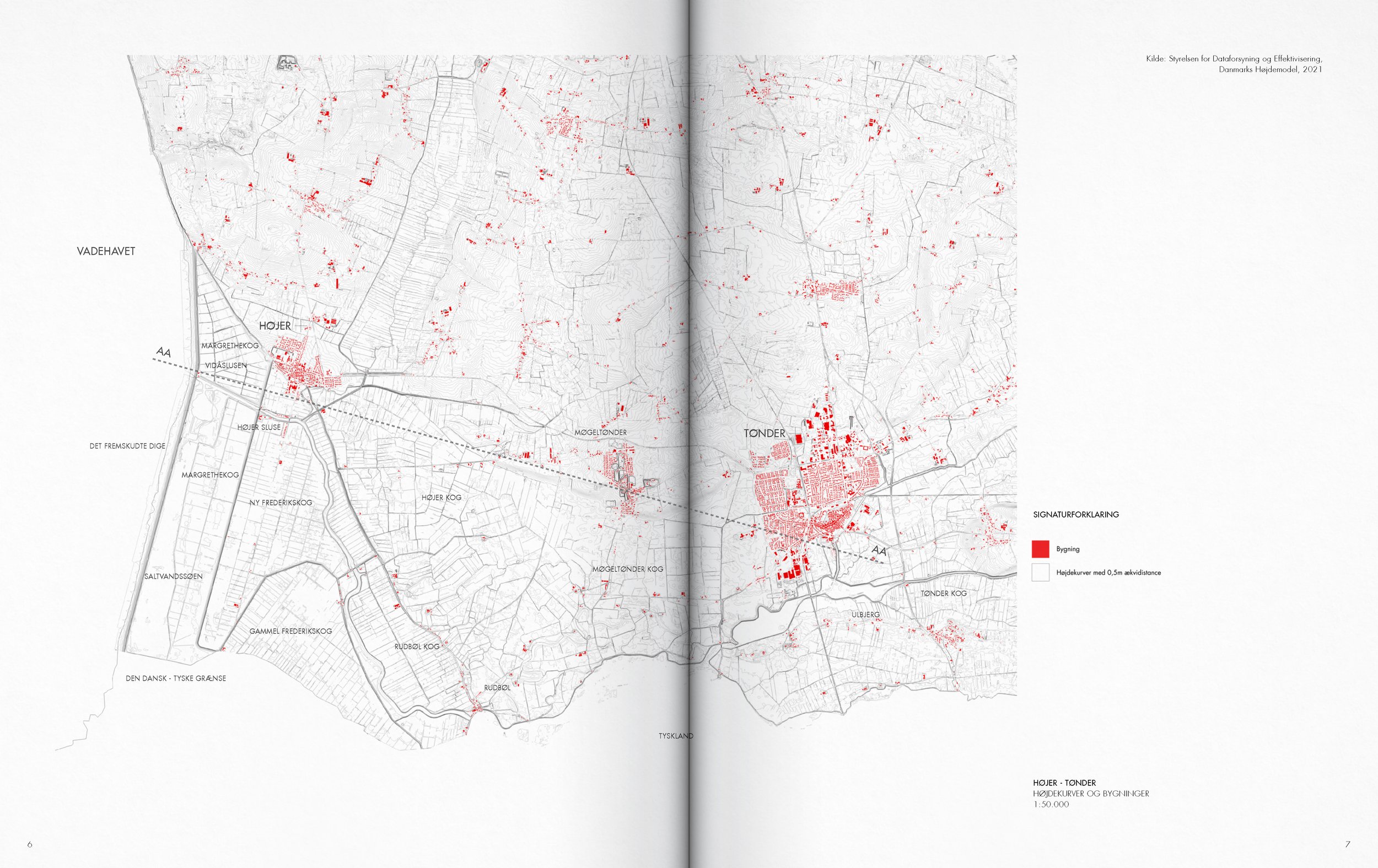
A detailed black and white map of a rural area, with red markings indicating specific locations and features, and labeled with place names and distance measurements.
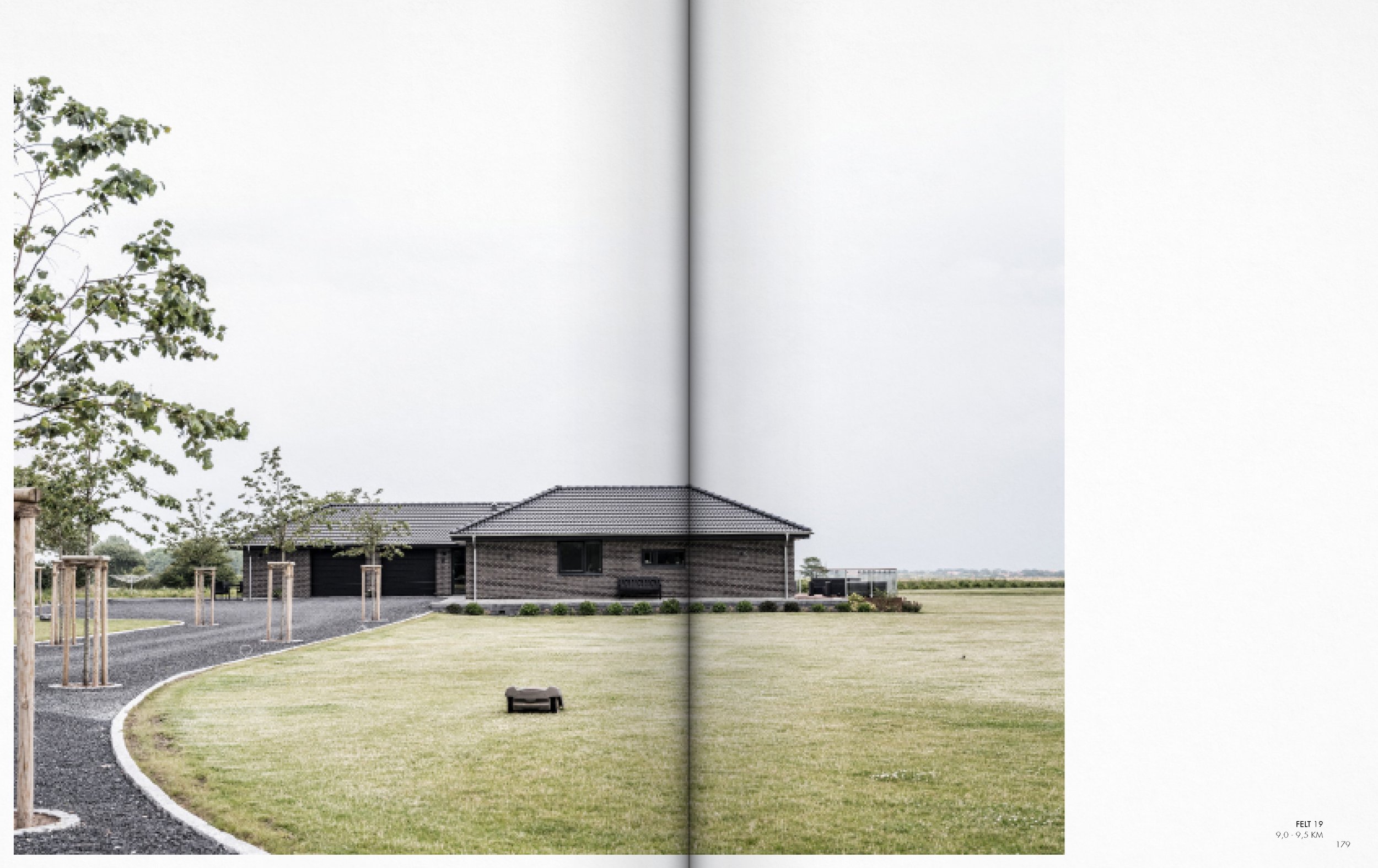
Two pages of a book with photographs of residential neighborhoods. The left page shows a suburban street with houses, trees, and street lamps; the right page shows a grassy yard with houses and trees in the background.
A detailed black-and-white map showing a landscape with marked red structures, roads, and terrain features labeled in Danish.

A detailed map with labels in a foreign language, showing various lines, symbols, and a few structures marked in red, over a white background.
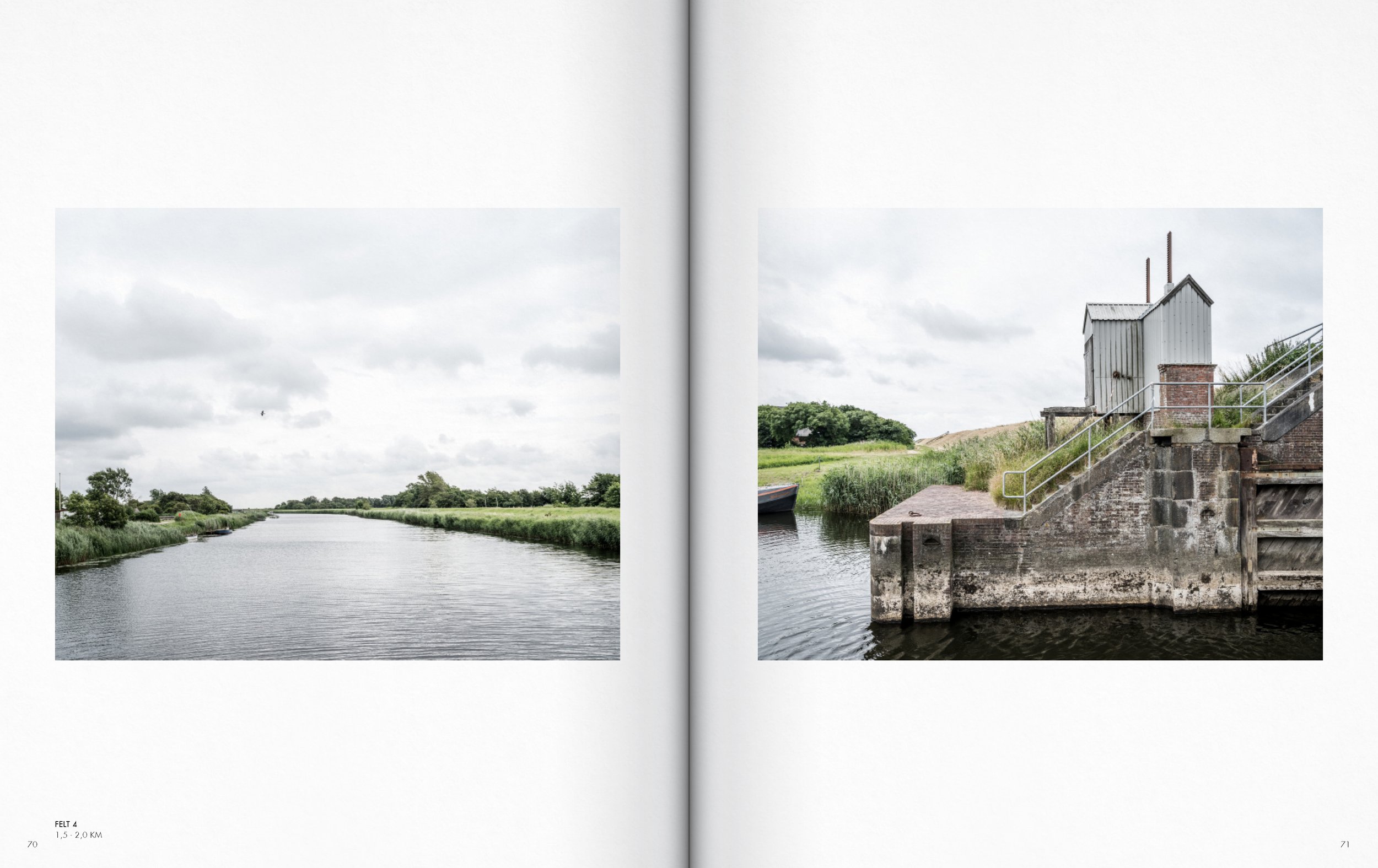
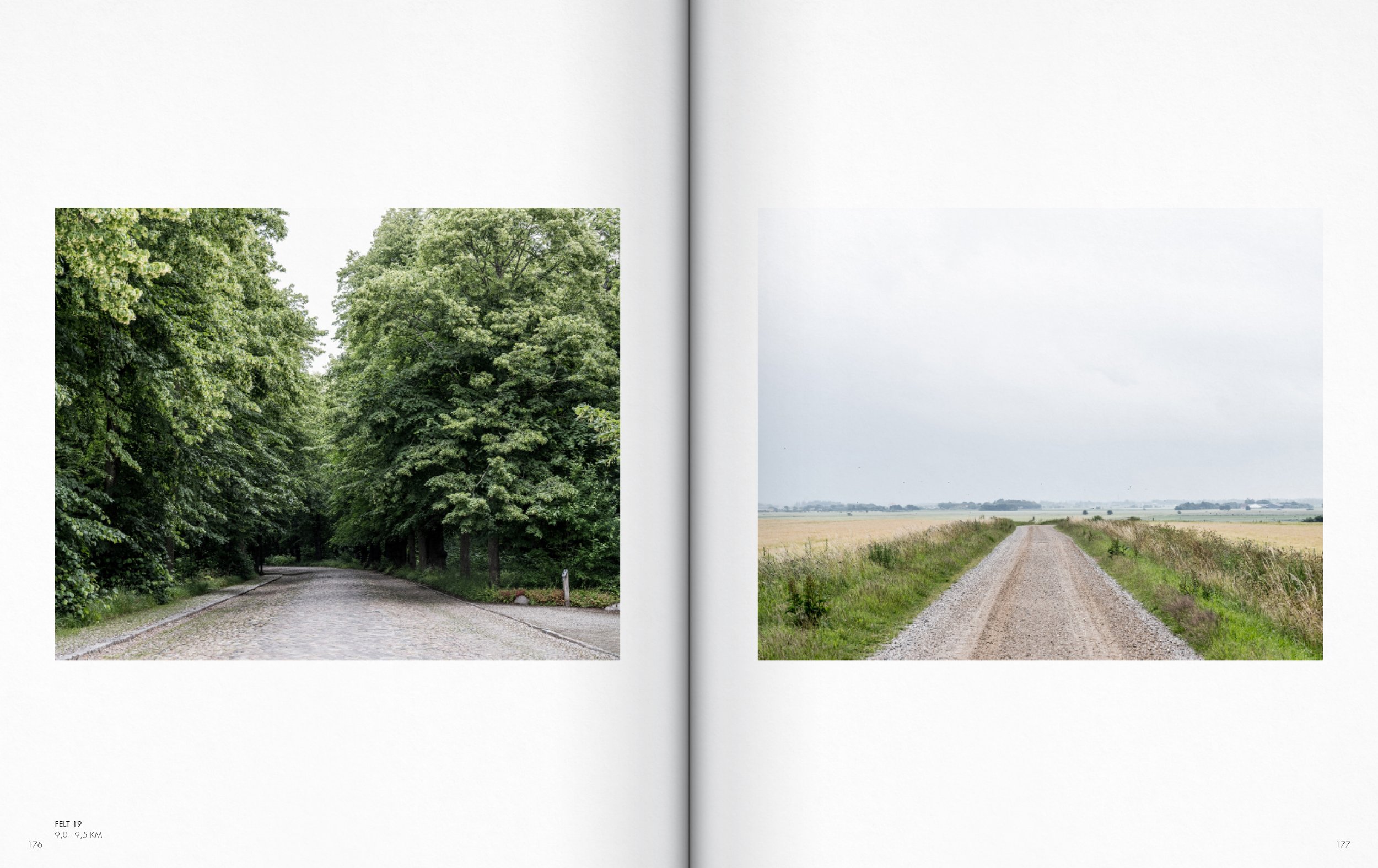
Open book showing two landscape photographs of fields under cloudy sky. The left photo depicts a canal running through grassy fields, the right photo features a large mound of grass with a line of trees and a building in the background.

A detailed map with black and red markings, showing land divisions, roads, and geographic features with labels such as 'HØJER,' 'HØJER SLUSE,' and 'FELT 9'.
A gravel dirt road winding through a flat grassy field under a cloudy sky.

Two pages from a book showing rural scenes; the left page has a gravel road leading into the distance with fields and trees, and the right page depicts a cottage with a thatched roof and surrounded by greenery.
A black and white topographic map with red markings, showing a region with roads, buildings, and elevation lines, with labels such as FELT 13 and HØJER KOG.

Open book showing two landscape photos of a flat rural area with grassy fields and cloudy sky. The left photo depicts a straight road extending to the horizon, the right photo features a dam with a tower and water reservoir.
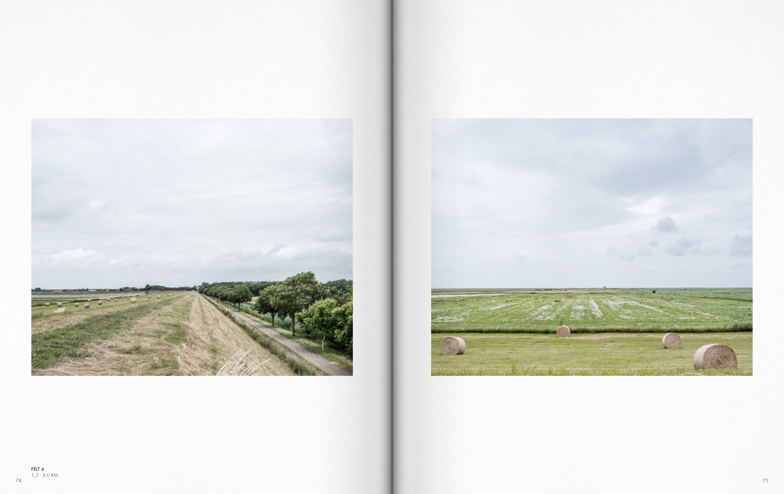
Open book displaying two images of rural farmland, one with hay bales and a row of trees, the other with hay bales in a field, under cloudy sky.
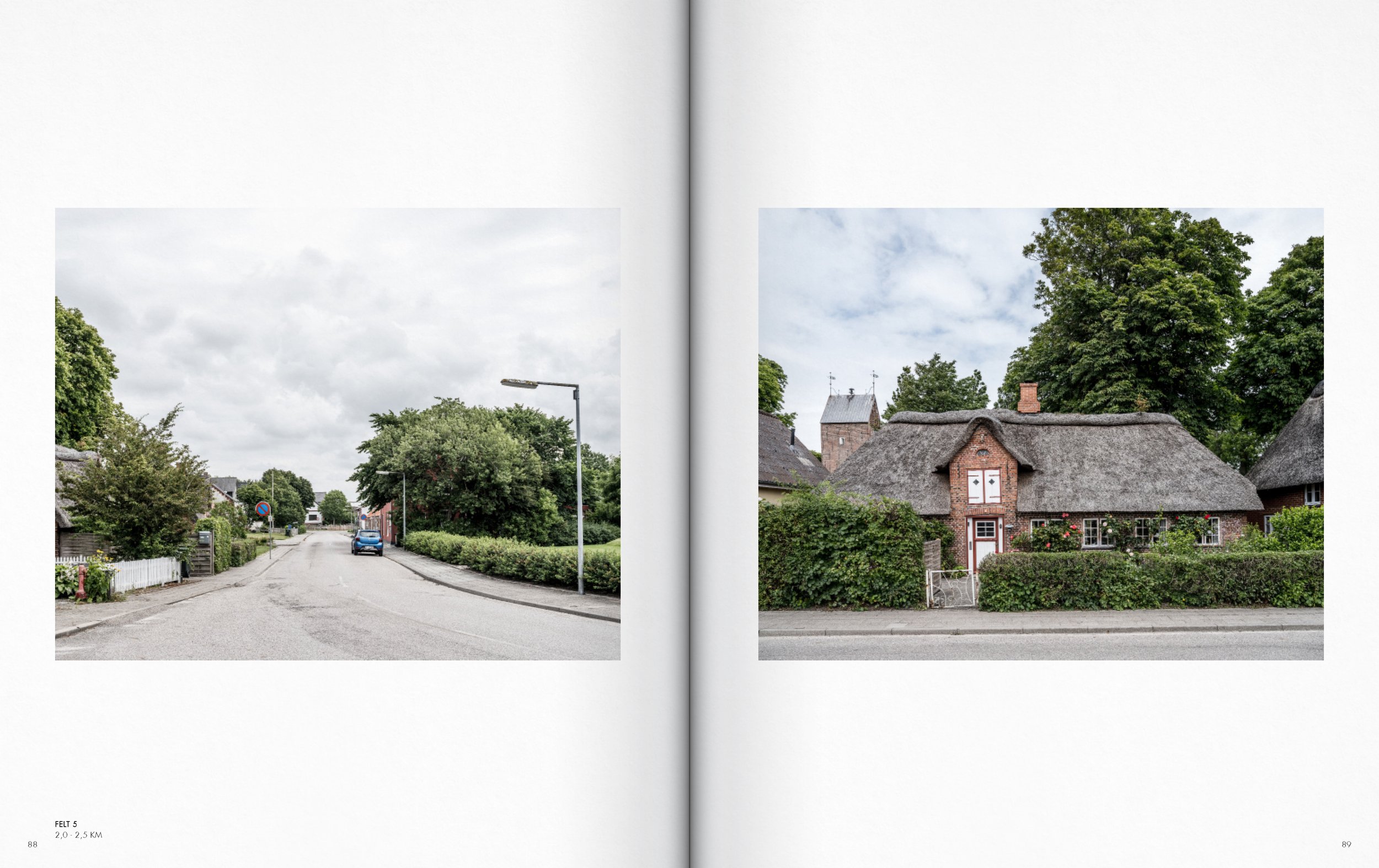
Photograph of a street view in a small town with greenery, houses, and cloudy sky, shot from a distance.
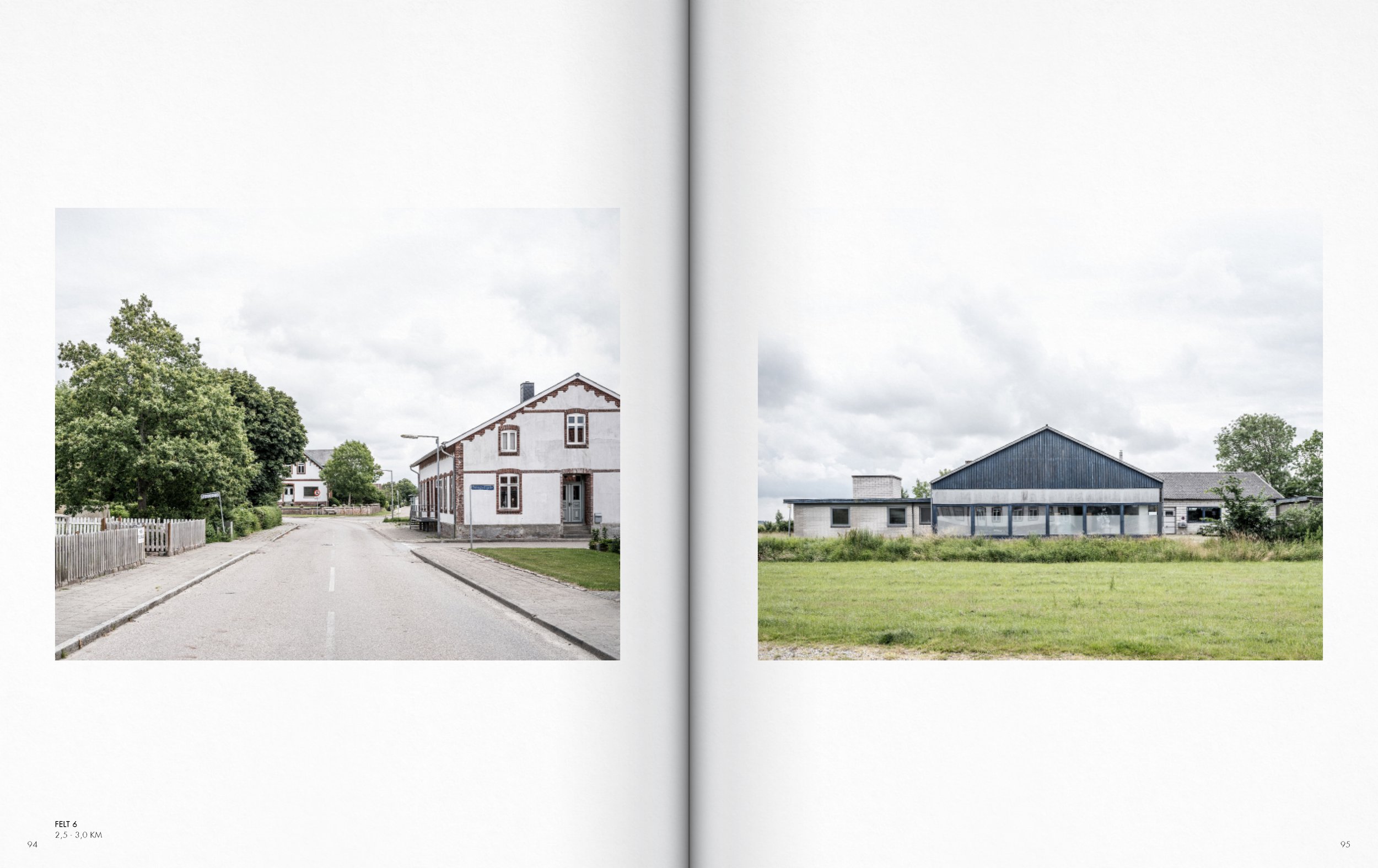
Side-by-side photographs of rural buildings and landscape. The left image shows a street with a large trees, a house, and a streetlamp. The right image features a large modern farm building in a grassy field, with trees and additional buildings in the background.

Open book displaying two images of a rustic brick house with light green doors, captured on a cloudy day.

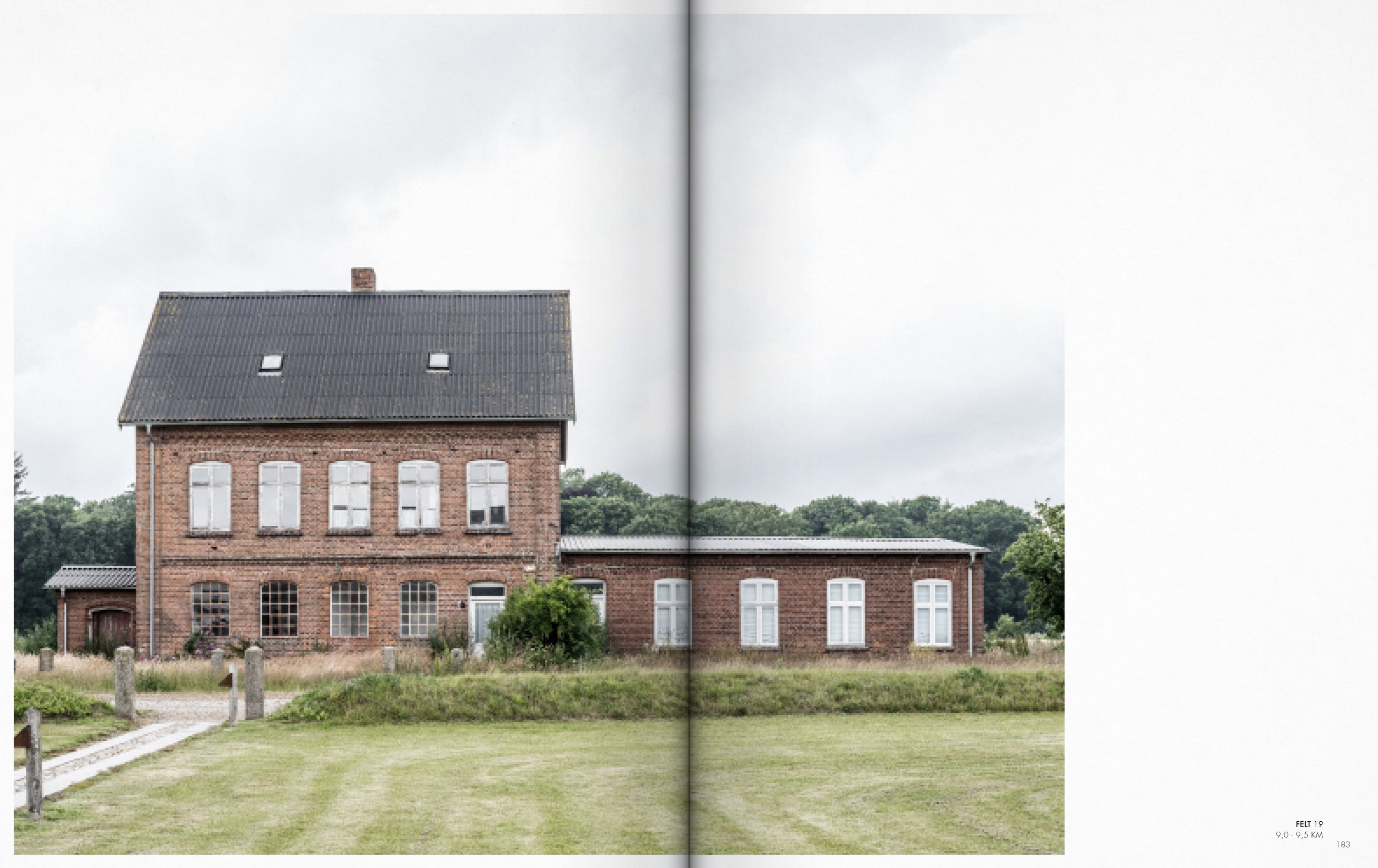
Open book displaying two photographs of houses. The left photo shows an old red brick building with a sloped roof, small arched windows, surrounded by greenery. The right photo depicts a modern brick house with a sloped tiled roof, fence, and trees, under a cloudy sky.
Open book displaying two landscape photographs of rural farmland with fields, houses, trees, and cloudy sky.
A detailed map showing various geographic features and landmarks labeled in Danish, with red highlighting some structures and a dashed rectangle outlining a specific area.

Comparison of two fields with different qualities of crop and sky in a magazine spread.
A detailed map of a rural area with labeled locations and elevation points, showing roads, pathways, and some buildings, with some areas marked in red.
A detailed map of a rural area with towns and forested regions labeled in Norwegian. The map features a large body of water to the west, roads, waterways, and areas highlighted in red, with the label 'FELT 12' indicating a specific zone.
Two cottages with thatched roofs surrounded by green lawns and trees, one on each page. The left features a brick cottage with multiple windows and dark green trees; the right shows a yellow cottage with a greenhouse on the right side and a garden.
A farm building with a brick lower level and a red metal upper level, with a corrugated metal roof, and a small window on the upper left side, and several small windows on the lower right side, with some greenery and trees in the background.

A detailed map showing property boundaries and structures in red, with black lines representing roads and topography. The map spans two pages, with coordinates and labels indicating different areas and features.

Farm buildings with gravel pathway between them, cloudy sky, and fields on either side.

A detailed map of an area with roads, buildings, and topographical features, with annotations and labels for specific locations and measurements.
Open book showing two landscape photos of fields under cloudy skies, wind turbines in the background of the right photo.
A detailed black and white map of a landscape with red markings indicating specific areas or structures, featuring labels such as 'FELT 16' and 'HOJER KOG,' with some topographical lines and pathways.
Open magazine featuring two landscape photos: on the left, a cloudy sky over a green field with power lines and houses in the distance; on the right, a red barn with a sign on top reading "East Hembree & Spa" under a cloudy sky, with gravel and grass in front.
A detailed black-and-white map of a rural area with roads, fields, and some structures, interspersed with red markings indicating specific sites or features.

Two photographs side by side: the left shows a residential street with cars and houses, and the right shows a house with trees and grassy yard.
A two-page spread in an open book showing two images of houses and a street scene. The left image depicts a quiet residential street with hedges and suburban houses, and the right image shows an old brick building with multiple windows, with a cloudy sky overhead.
Open book with aerial views of a large parking lot and white building under cloudy sky.
Two large white buildings with garages are placed in a rural area, with an overcast sky and green trees in the background.
Open book showing two images of houses and streets, one on each page, with a cloudy sky.
A street view featuring a brick building with a sloped roof, windows, and a storefront with signs, cars parked in front, and an overcast sky.

A detailed map of a landscape with roads, buildings, and topographical features, with some elements highlighted in red. The map appears to be part of an architectural or geographic study, including labels and scale information.
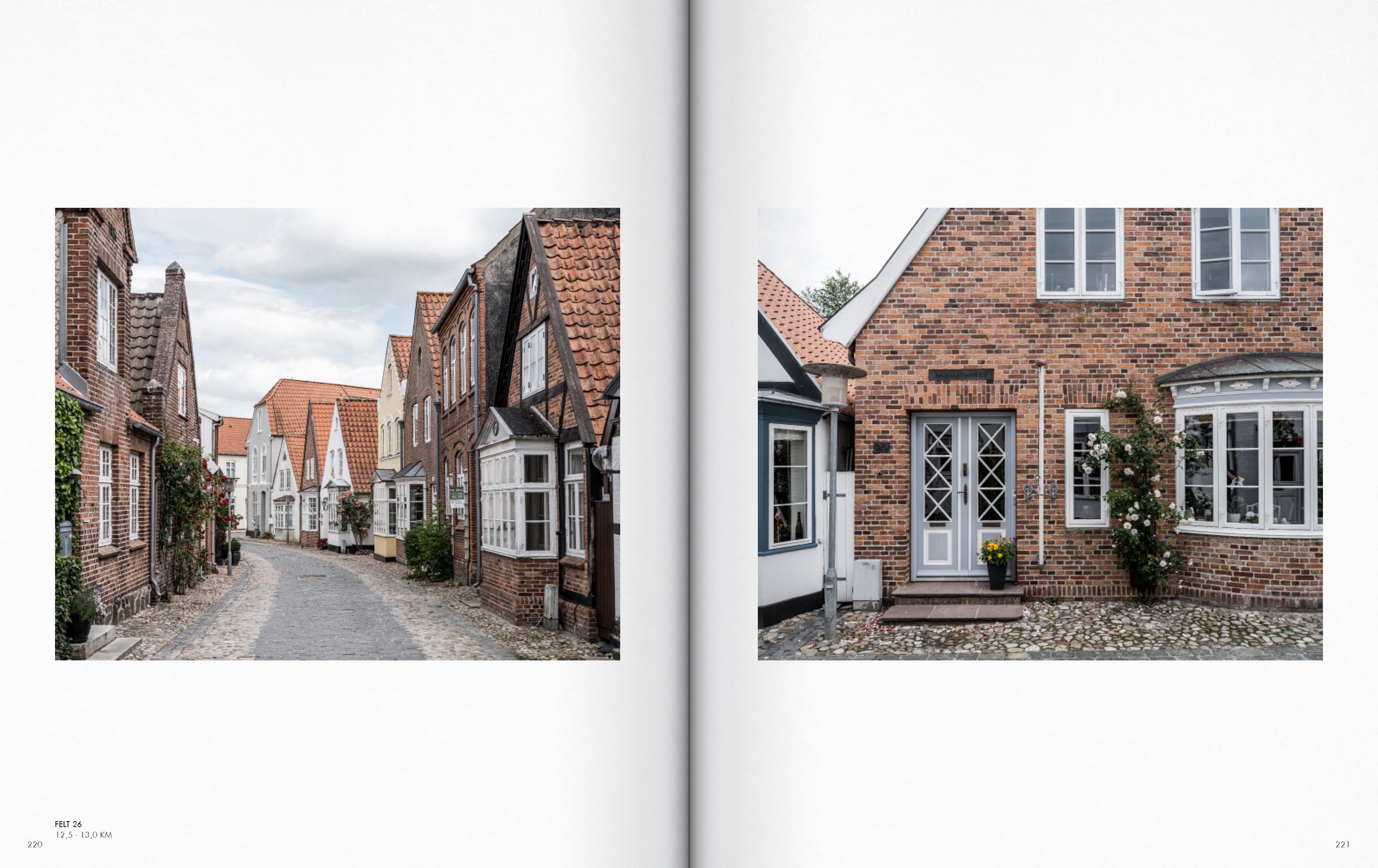
Two photographs of European streets with cobblestone roads, lined with green trees and traditional houses. The left photo features an alley with houses on both sides and a car in the distance, while the right photo shows a house with a thatched roof and a front yard with a streetlamp.
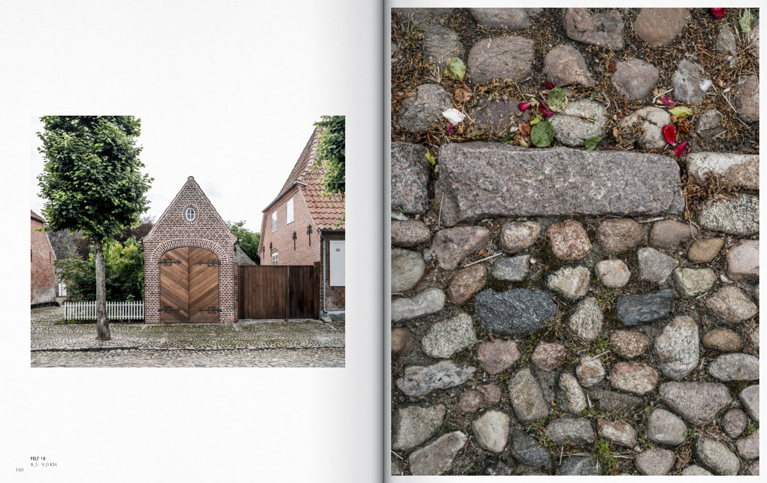
Photo of a brick building with a wooden garage door, a large tree in front, and neighboring brick structures, next to a cobblestone street.
Close-up images of traditional European thatched-roof houses with red brick and white walls, alongside a larger image of a residential house with a thatched roof, brick and white walls, surrounded by trees and a cobblestone street.

Comparison of two pictures showing a cobblestone street with brick houses, one with a car parked and trees, and the other with bench, flowers, and a leaning white pole
Photograph of two houses with red tile roofs and trees in front, on a cobblestone street, and a close-up of a cobblestone ground covered with small stones and moss.

Two photographs side by side. The left photo shows a rustic brick building with a weathered, slanted roof and surrounding greenery. The right photo depicts a cobblestone street lined with neatly trimmed trees and residential houses under a cloudy sky.
Photograph of a peaceful outdoor scene featuring a small canal with green duckweed, dense greenery on both sides, and trees in the background, with a historic house and a park path with people walking.

A split view of a cobblestone pathway leading to a white house with a red-tiled roof, surrounded by green bushes, under a cloudy sky.
A detailed map showing an area with buildings, roads, and terrain features, with markings in red, including elevation lines and labels.
Open book with two landscape photographs: on the left, a tree-lined dirt road with dense green foliage; on the right, a rural gravel road stretching into a flat field under an overcast sky.
A modern house with dark brick exterior and a gray roof, surrounded by a well-maintained lawn and a curved driveway with young trees supported by wooden stakes, under a mostly cloudy sky.

Images of traditional thatched-roof building and close-up of thatch roofing texture.
A two-story brick house with a pitched roof and chimney, surrounded by a grassy yard and trees in the background, under a cloudy sky.
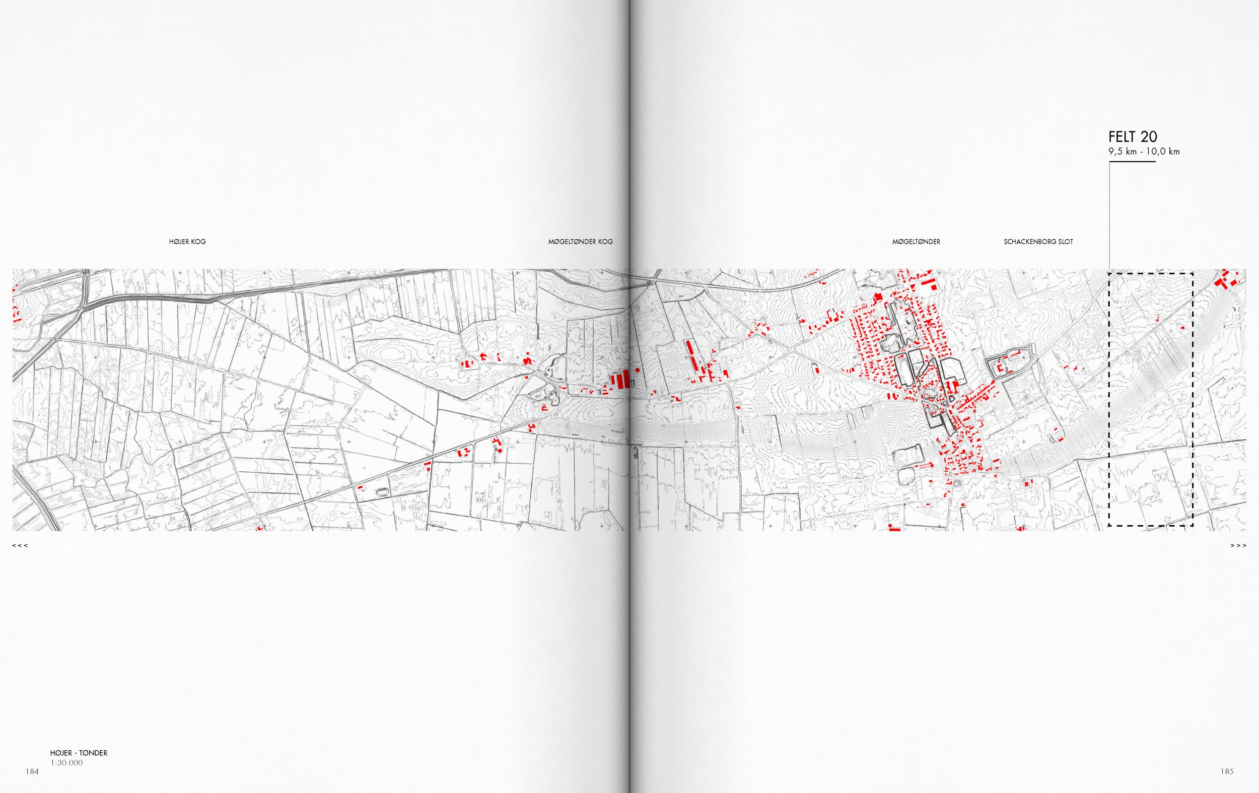
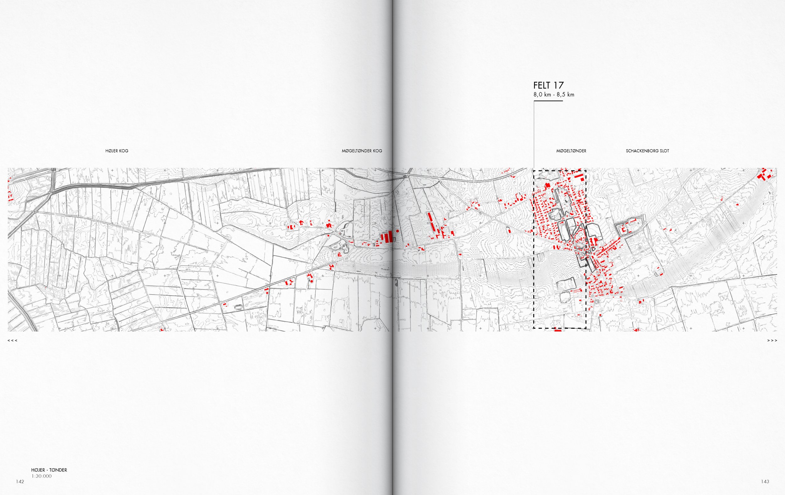
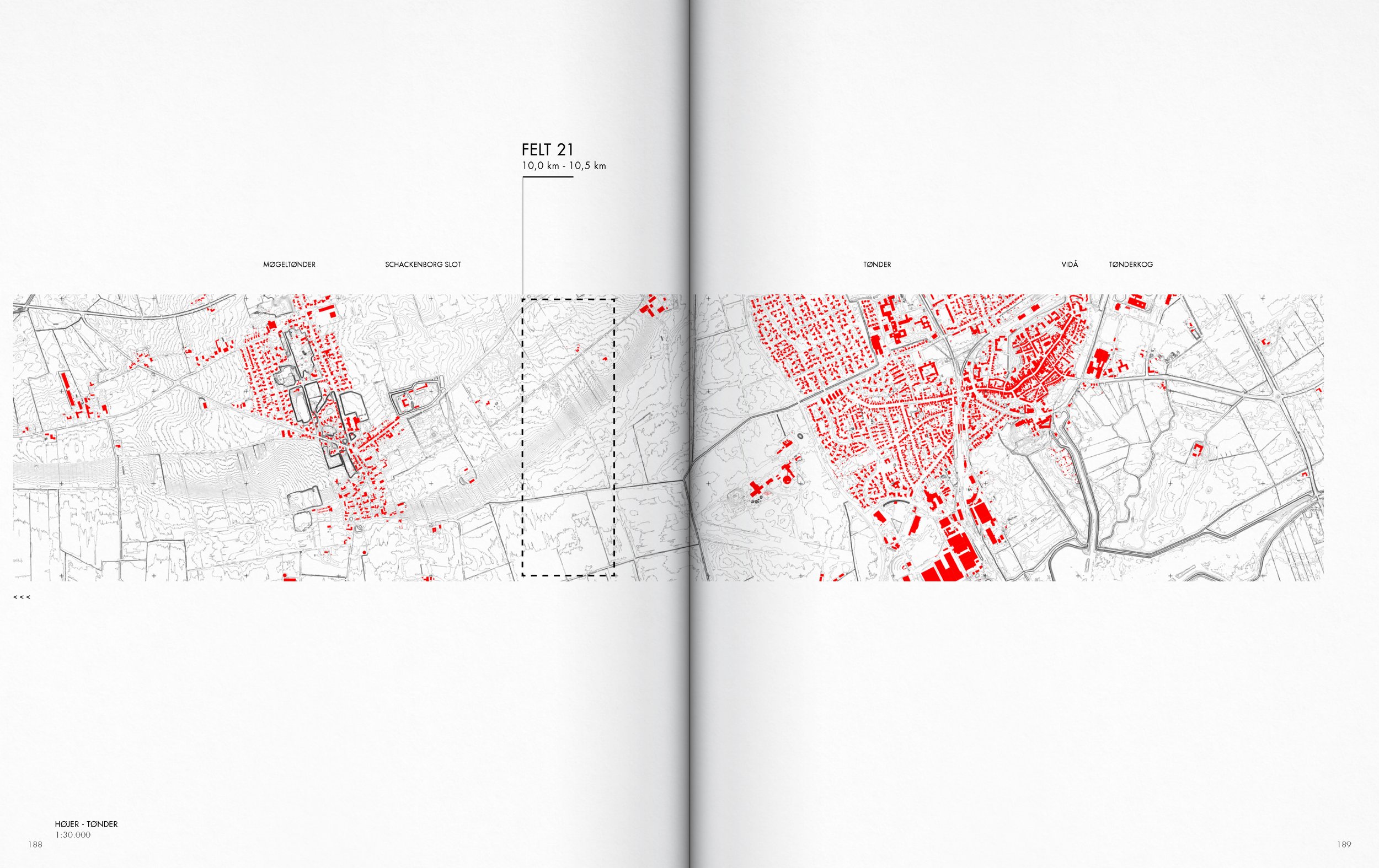
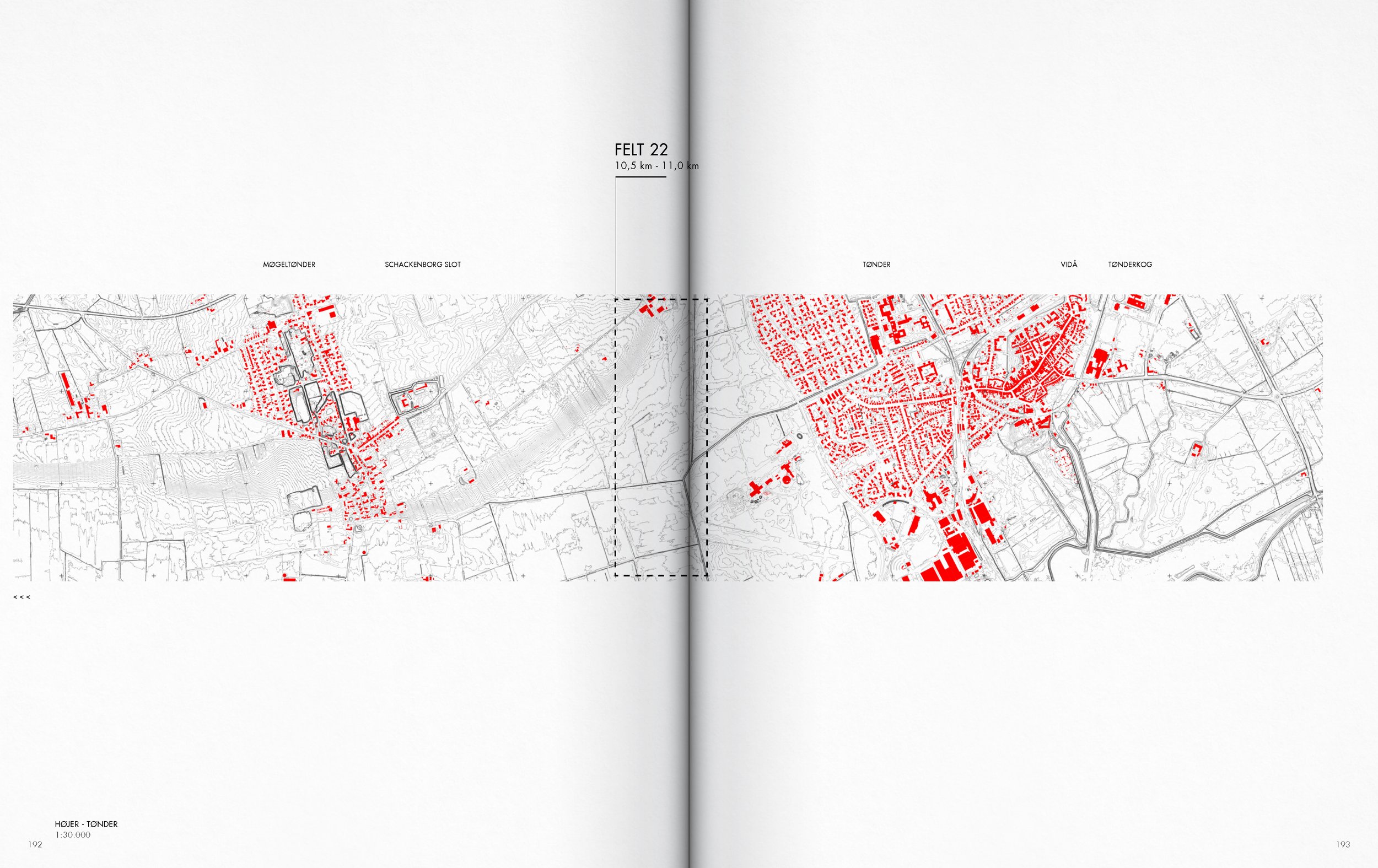
A detailed map showing terrain, roads, and buildings with labels such as FELT 20, MØGELØNDER, and SCHACKENBORG SLOT, with red markings highlighting specific areas.

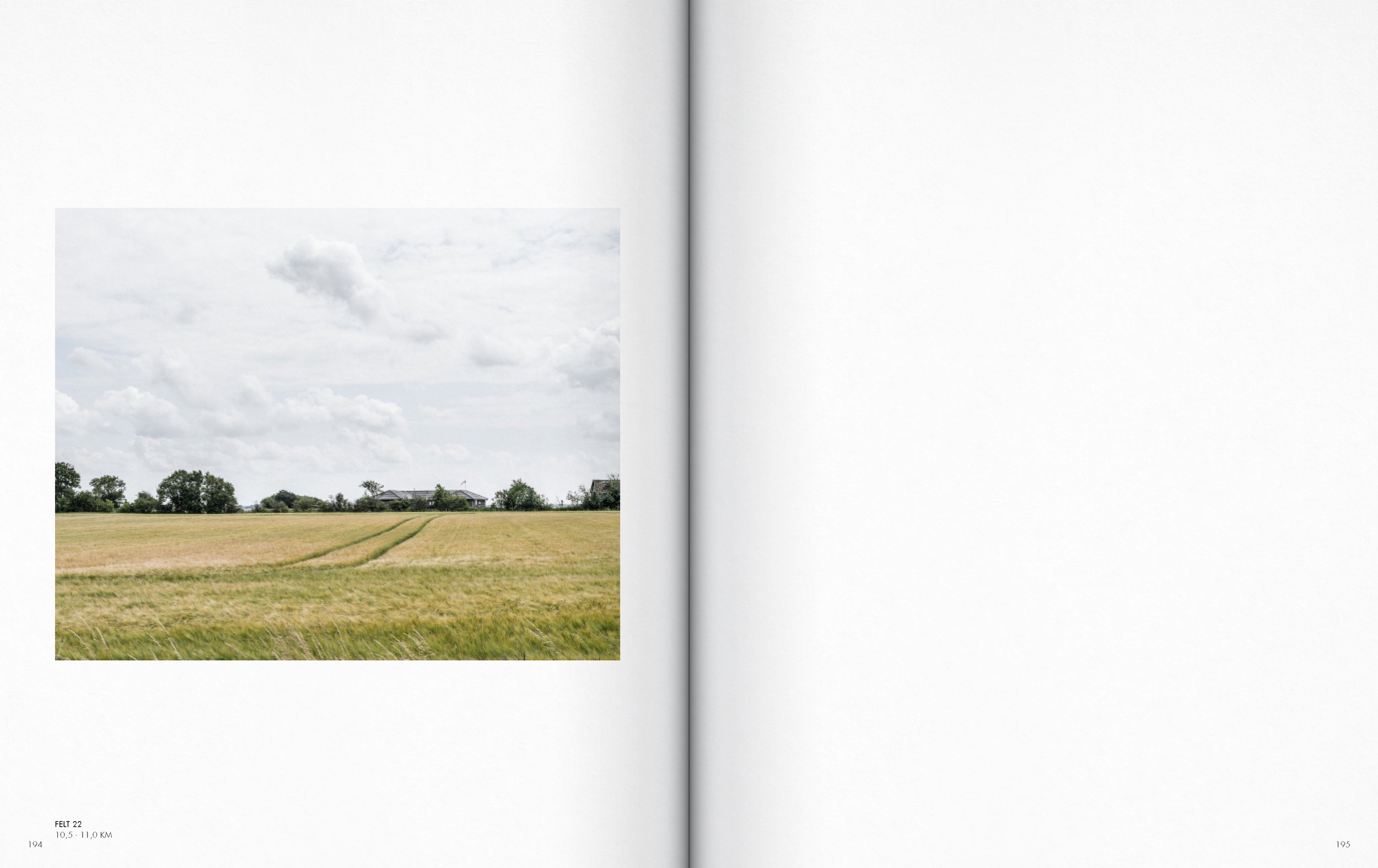
A vast field of golden grass with a line of trees in the background and a cloudy sky.
A map showing areas in a town, with some buildings highlighted in red. The map appears to be a detailed town layout with streets, buildings, and topography.
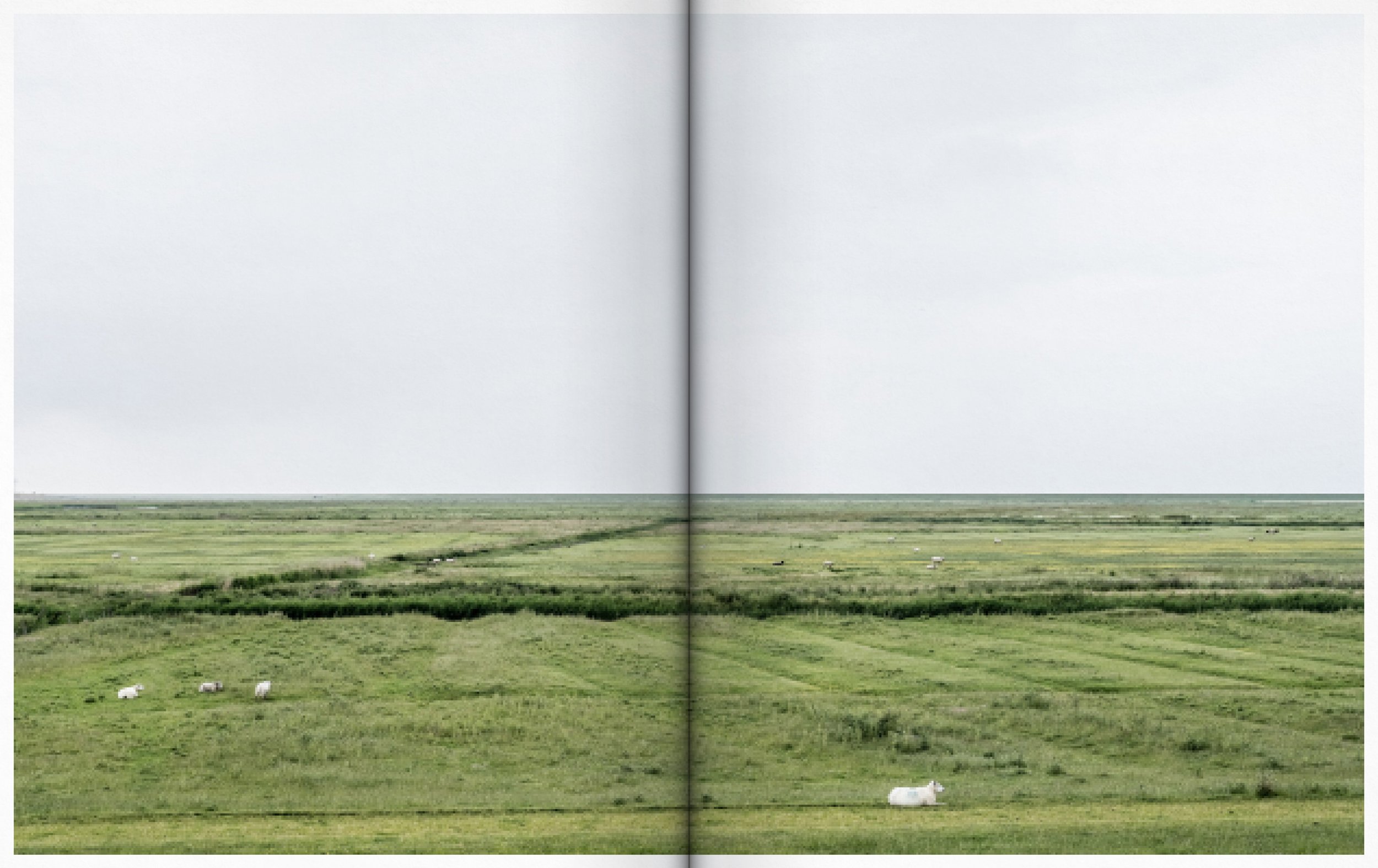
Green grassy plains with a few white animals, possibly goats or sheep, scattered across the landscape under a cloudy sky.
A detailed map of a geographic area with red-highlighted structures and buildings, showing infrastructure, streets, and topography, with some labels and scale information.
A photograph of a grassy field with two tire tracks, a few trees, and buildings in the distance under a cloudy sky.

A detailed map showing different land plots and sections in a city or town, with areas marked in red, black, and white lines, and some topographical features, along with labels and measurements.

Open field of lush green grass with a dirt path running through the center, under a cloudy sky.

Two-page map in a book showing a city with sectioned and highlighted areas in red and black, with labels such as 'FELT 24', 'TØNDER', and 'VIDA' at the top.
Two photos of suburban neighborhoods with houses, trees, and partly cloudy skies. The left photo shows a curved street with houses and a streetlamp, while the right photo depicts a house with a parking lot and railway tracks in front.

Two views of a historic brick building with arched windows, decorative brickwork, and a red brick corner.
Two different residential buildings are displayed side by side, one on each page. The left features a brick house with a red tile roof and visible skylights, with other houses and a fence in the background. The right shows a modern white house with large windows, a garden with flowers, a flagpole, and street lamps.
A detailed map of a city showing streets and building layouts, with certain areas highlighted in red.
Photographs of two different houses, one on each page. The left house is a brick home with a small balcony, a sloped roof, and a neighborhood street in front. The right house is a smaller brick home with a steep roof, stairs leading to the front door, and a yard, with a taller building and trees in the background.
Open book showing two photographs of residential streets, one with houses and a garden, the other empty street with trees and buildings, under partly cloudy sky.
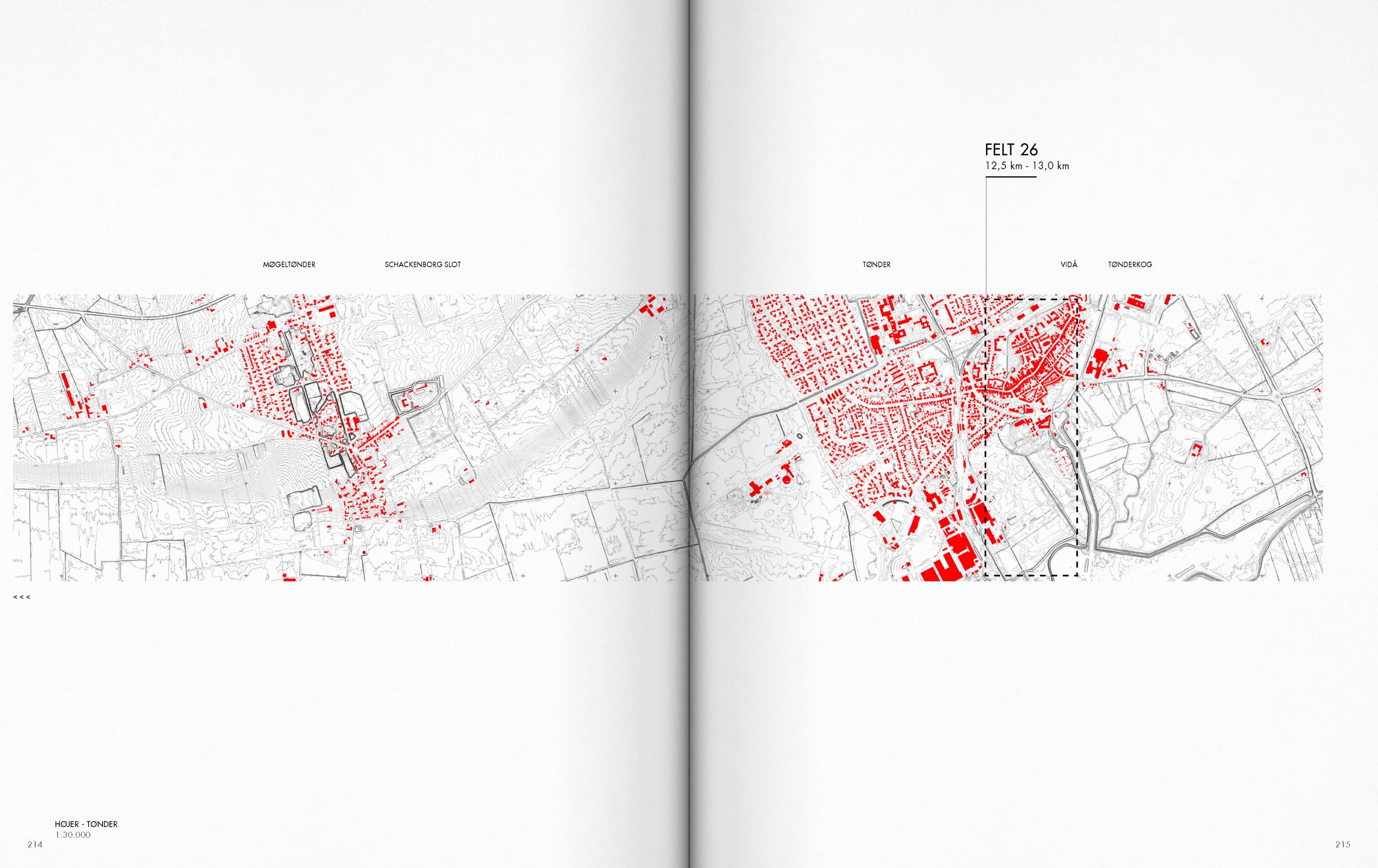
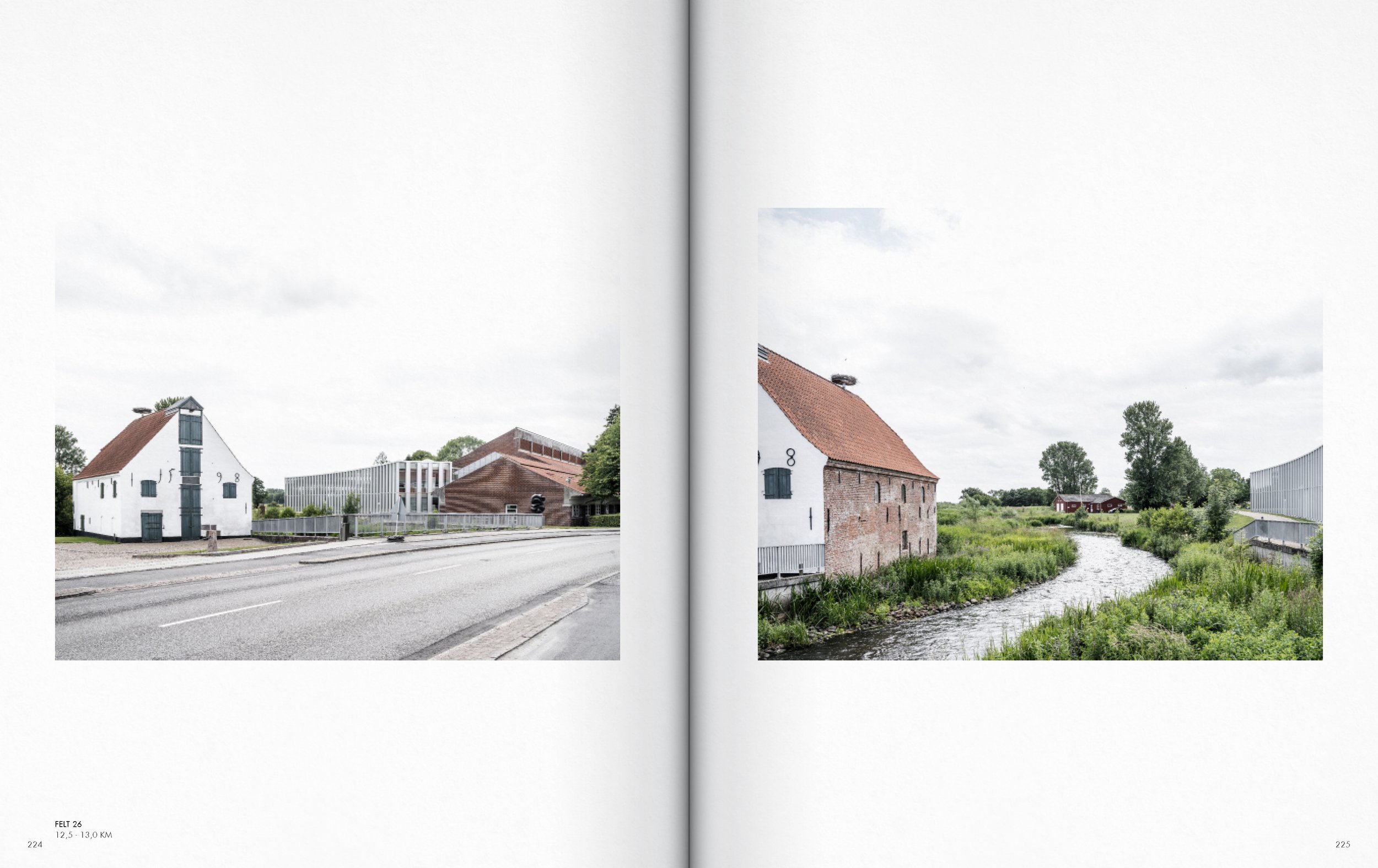
A map showing the layout of land plots and roads, with areas marked in red, including labels like 'FELT 26' and 'TØNDER'.
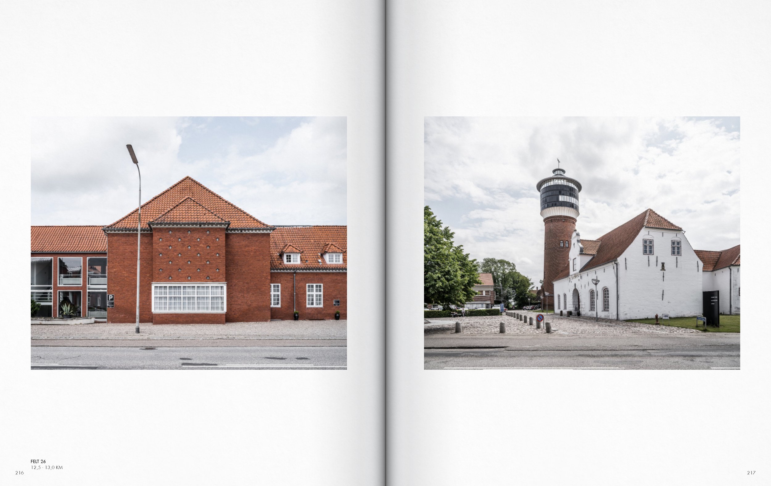
Side-by-side photographs of buildings: the left image shows a modern brick building with a triangular roof and a streetlamp, while the right image shows a historic white building with a tower and a lighthouse atop it.

Two images of European-style buildings on a street, featuring red-tiled roofs, large windows, and greenery.
Two pages from a photography book showing images of European houses. The left page has a street view with cobblestone road and houses with red and white facades and tiled roofs. The right page features close-up of a red-brick house with bay window and potted plants.

Two images showing white buildings on cobblestone streets, with overcast skies. The left image features a street with multiple White buildings with detailed windows, while the right image shows a single, older-looking white building with a sloped roof and fewer windows.
Photographs of modern and historic buildings alongside a river, with trees and cloudy sky in the background.
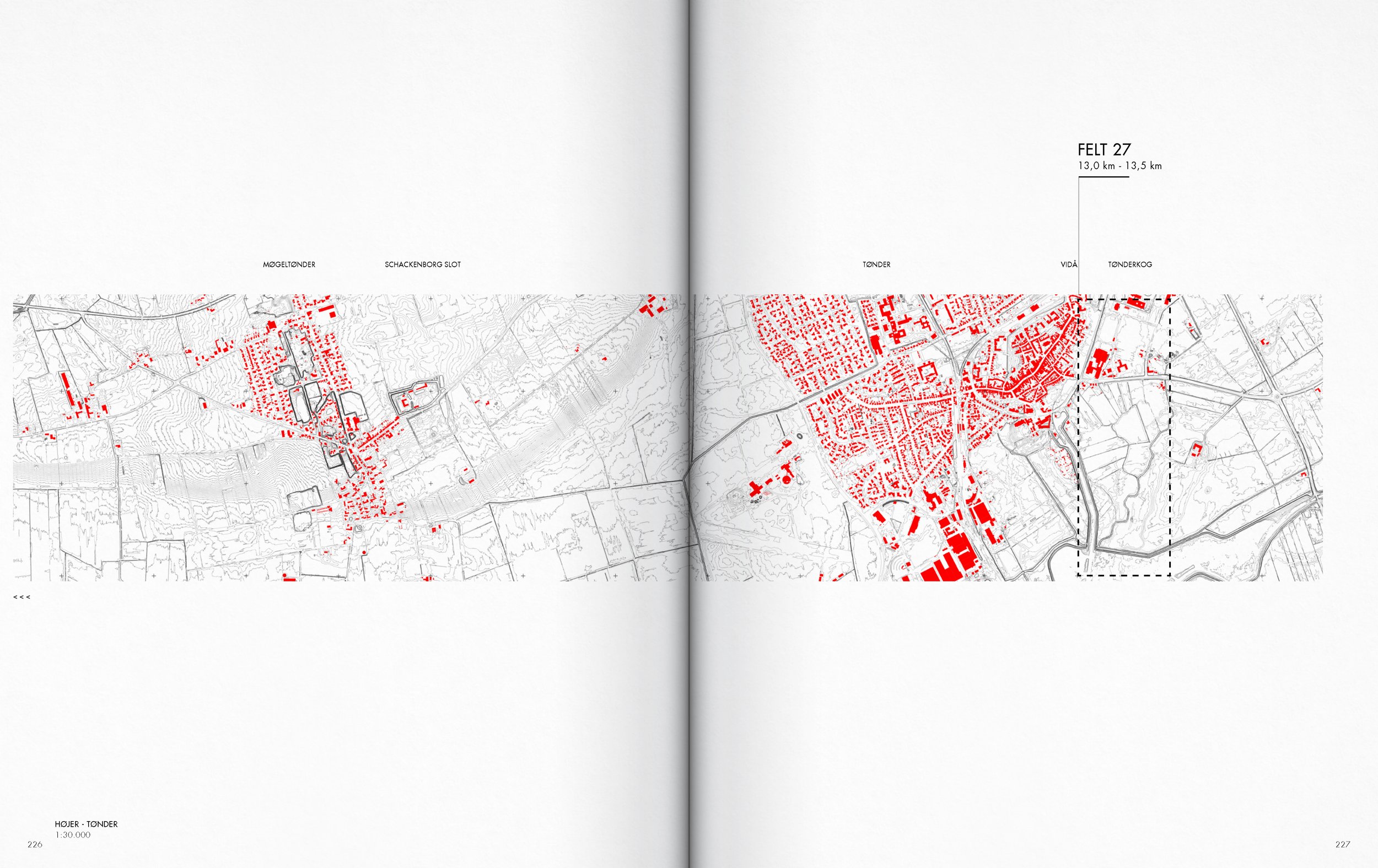
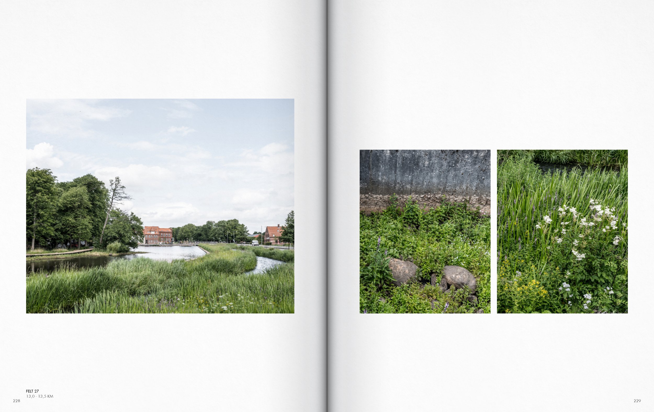
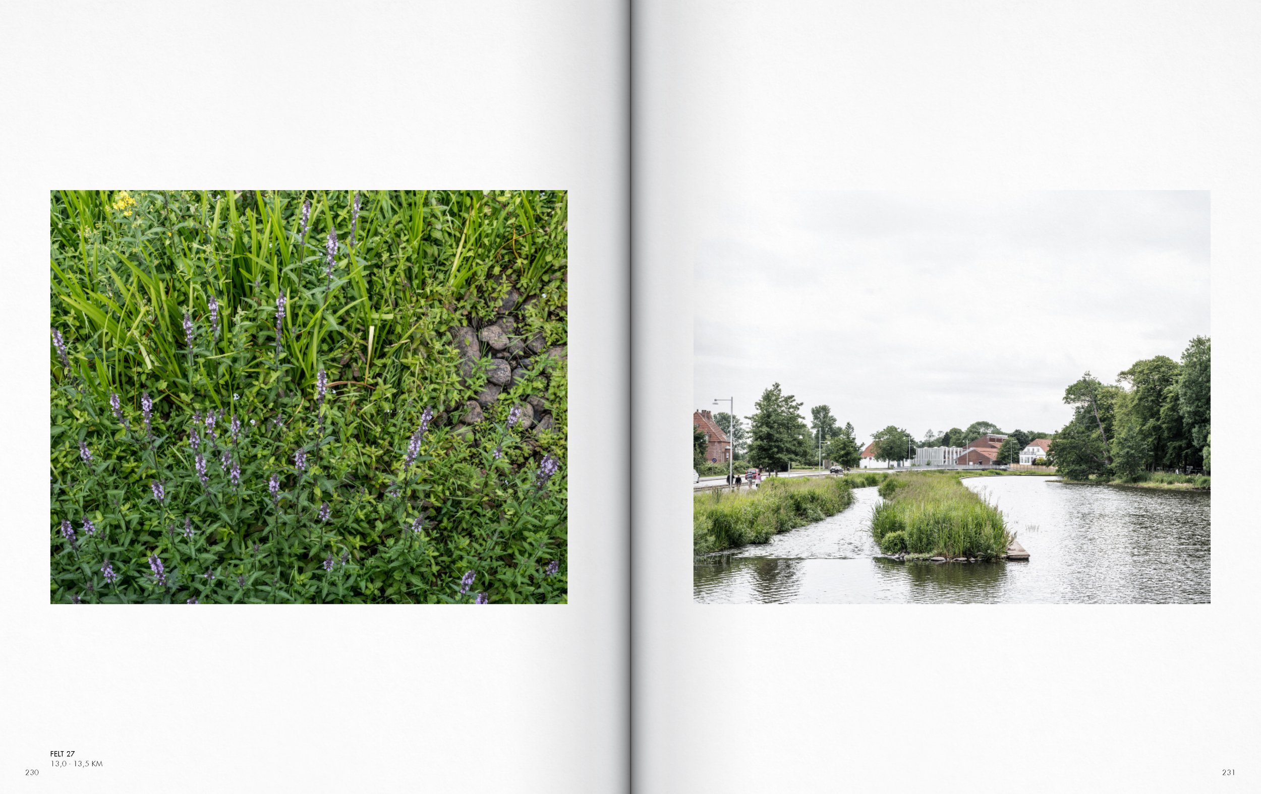
A map showing an area with buildings in red and gray, roads, and geographic features, divided into two sections with labels including 'FELT 27' and nearby towns.

The thesis focuses on the representation of the immediate surroundings and the everyday landscapes, which are undergoing and will continue to undergo major material and immaterial changes that will significantly alter how the landscape is experienced, used, and represented. The goal is to create a lens through which the spatial and physical conditions of the coastal territory can be discussed and analyzed.
The image material is thus a snapshot or a picture of the state of the Danish urbanized coastal territory in a time when Denmark and other coastal nations are on the threshold of extensive physical change processes of both a natural and urban sort. In the human era – the Anthropocene.
Margrethe Kog hinterland

Ph.D. thesis introductory chapters

Ph.D. thesis introductory chapters

Ph.D. thesis introductory chapters

Ph.D. thesis introductory chapters

Ph.D. thesis introductory chapters

Ph.D. thesis introductory chapters

Ph.D. thesis introductory chapters

Ph.D. thesis introductory chapters

Ph.D. thesis introductory chapters

Ph.D. thesis introductory chapters

Ph.D. thesis introductory chapters

Ph.D. thesis introductory chapters